Loader Icon
General
General
General
Photos
General
Map
General
Webcams

Senica (General)

658 m
Cloud icon Weather
Camera icon    Nearest webcam
Senica main photo
Rating:
Destination type: Peak
Country: Slovenia
Mountain range: Julian Alps
Latitude/Longitude: 46.1614 / 13.7571
Number of trails: 3 (see the trails here)

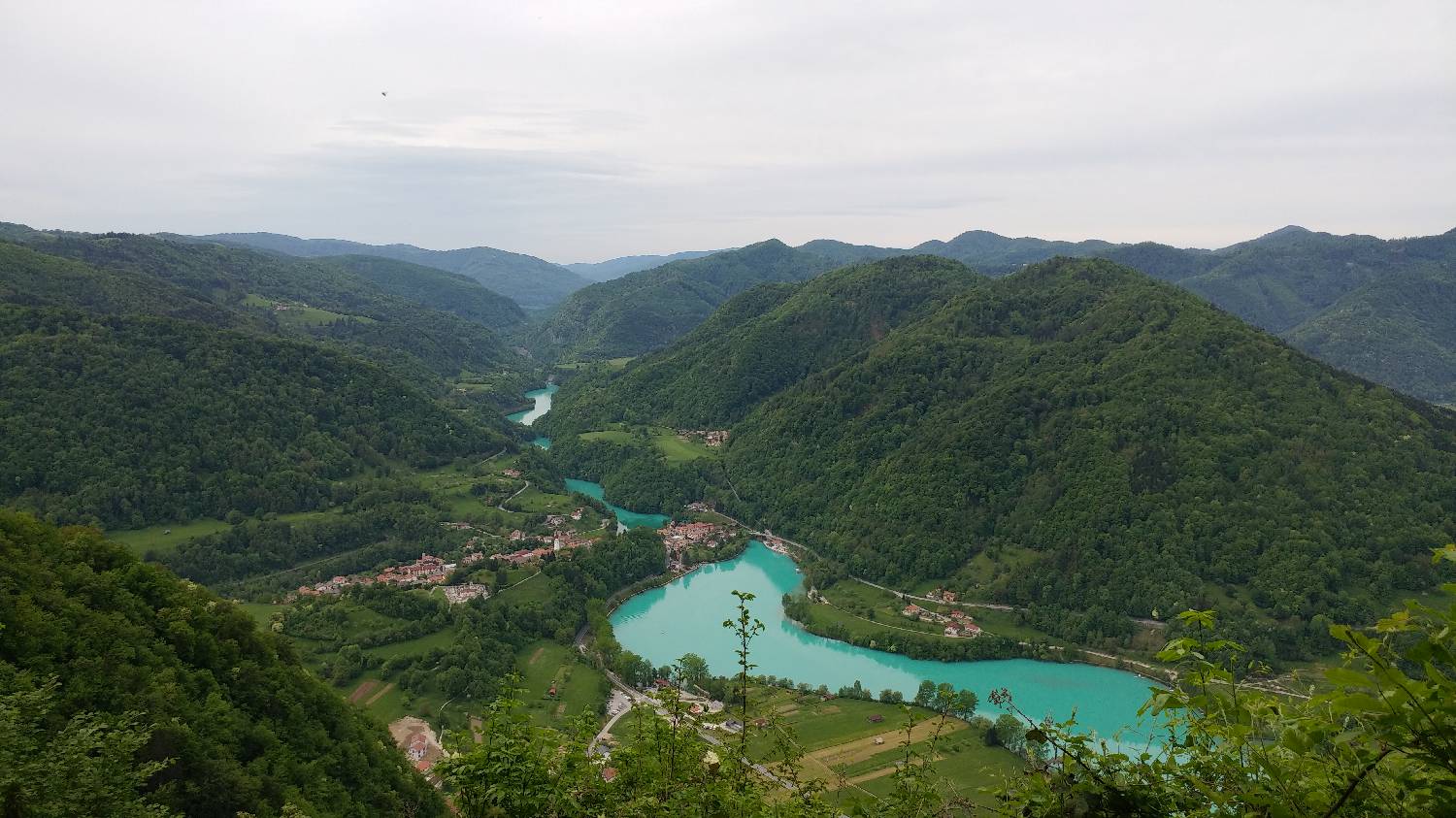
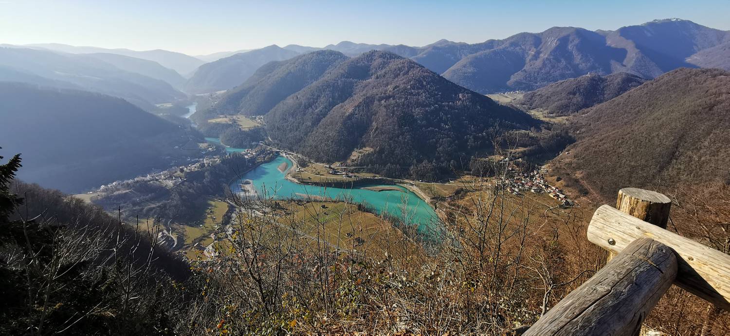
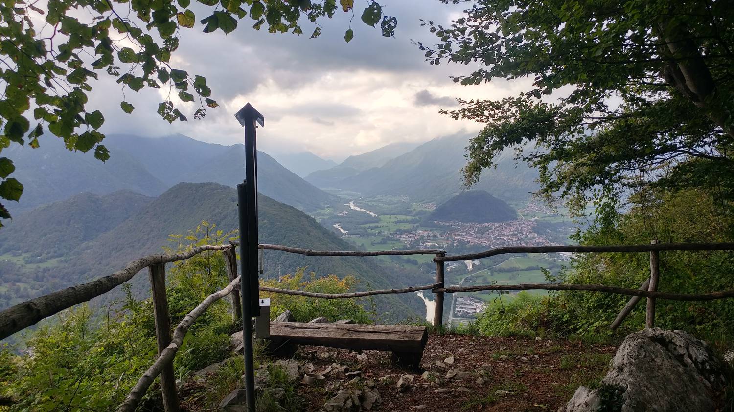
Senica is a 658-meter-high lookout point above Tolmin. An unmarked, steep forest trail leads to the summit. From the summit, an exceptional view of the Soča River valley and the peaks above it opens up before us.
Latest check-ins

UserCheck-in time
s_spela15.07.2026, 09:56
NadaG17.03.2026, 16:41
Silko10.09.2024, 18:19

Trails

Ljubinj - Senica - main photo

Ljubinj - Senica

1 h 0 min
Easy unmarked route
Modrej - Senica - main photo

Modrej - Senica

1 h 0 min
Easy unmarked route
No comments yet.
Nearby destinations
Modrej main photo

Modrej

173 m
Ljubinj main photo

Ljubinj

385 m
Postaja (Most na Soči) main photo

Postaja (Most na Soči)

175 m
Železniška postaja Most na Soči main photo

Železniška postaja Most na Soči

175 m
Sotočje (Tolmin) main photo

Sotočje (Tolmin)

150 m