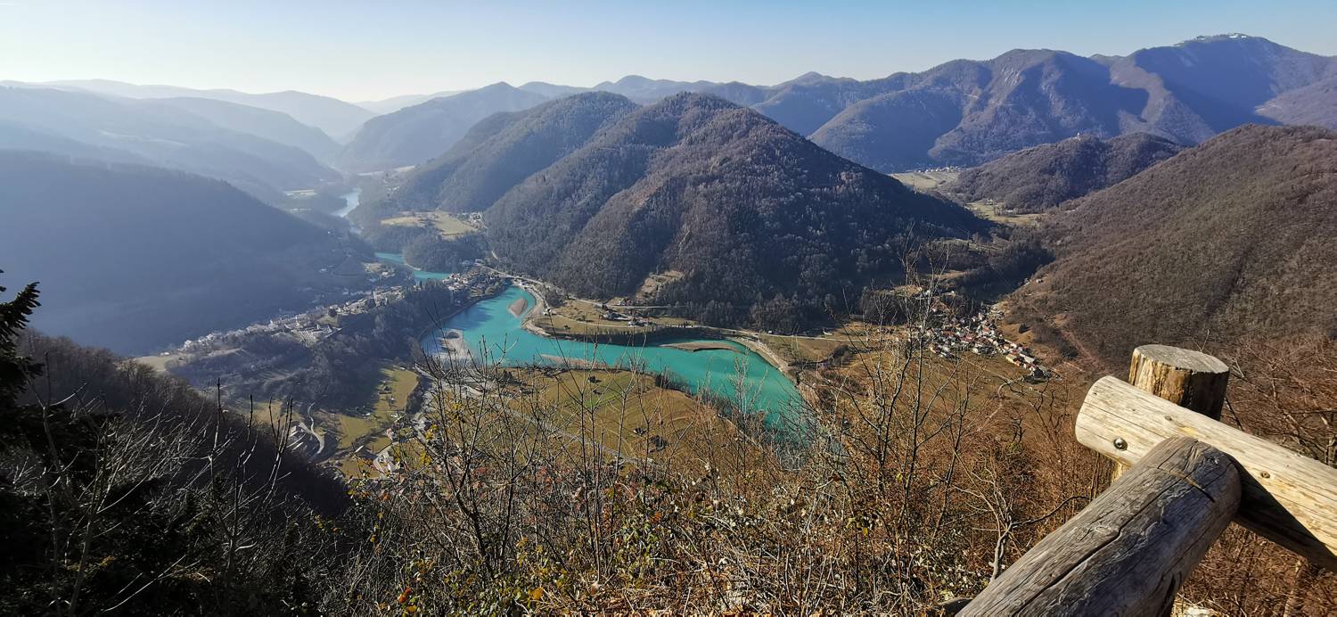
Modrej - Senica (General)
- Hiking time1 h 0 min
- Difficulty: Easy unmarked route
- Destination:658 m
- Elevation difference+485 m

Getting to the trailhead:
From Tolmin, drive towards Most na Soči. A little before the village, you will see a bar and a rental shop for kayaks, canoes, and SUPs on the right, and a parking lot on the left, where you can park.
Trail description:
Continue on foot to the village of Modrej. In the middle of the village, turn sharp right and follow the path to the end of the village, and a little further on, where you will see a forest path on your left. The path, which initially climbs to the right for a while, then turns to the left and starts to climb even steeper. At the second turn to the right, there are two benches and an educational board. You continue along the path, which becomes slightly flatter, until you reach the first crossroads, where another path joins from the right. Continue to the left. From here on, there are some small ascents and descents which will soon lead you to the summit.
Additional tips:
No additional tips.
Related trails
Ljubinj - Senica