



Železniška postaja Most na Soči - Senica (General)
1 h 15 min




 Weather
 Nearest webcam
| Rating: | |
| Country: | Slovenia |
| Mountain range: | Julian Alps |
| Trailhead: | Železniška postaja Most na Soči (175 m) |
| Destination: | Senica (658 m) |
| Trailhead latitude/longitude: | 46.1464 / 13.7602 |
| Destination latitude/longitude: | 46.1614 / 13.7571 |
| Difficulty: | Easy marked route  |
| Recommended equipment: | Hiking poles Hiking shoes Water |
From Tolmin, head toward Most na Soči; there, turn left and continue until the road branches off to the right toward the train station (Lokve, Čepovan, Postaja), where you turn and drive across the bridge. Park in the designated parking lot in front of the train station.
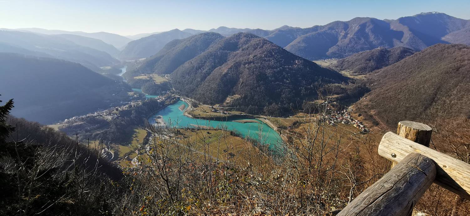
Trail description:We walk back across the bridge and turn left toward Tolmin (walking carefully along the main road for a few meters). When we see a sign on the right, we carefully cross the road and join the trail that climbs through a small forest. When we emerge from the grove and the terrain levels out, we turn right at the fork and join a narrower road. We continue walking to the first right turn, where we turn. Go around a large building and continue along the road all the way to the houses, where you turn right onto a trail that leads into the forest and begins to climb immediately. A lengthy ascent follows, making up most of the route, all the way to a cart track, which we join and turn left toward the Senica viewpoint. We stay on the cart track until a small path branches off to the left, where we turn. This path will soon split again; we take the right fork and continue along the trail for a good 5 minutes, after which we’ll reach our destination.
Additional tips:No additional tips.
![[object Object] - [object Object] main photo](https://api.mountainsgeek.com/media/20180501_115341_HDR_njU5A89.jpg)
![[object Object] - [object Object] main photo](https://api.mountainsgeek.com/media/20190930_171634_HDR.jpg)


