Loader Icon
General
General
General
Photos
General
Map
General
Webcams

Trdinov vrh (General)

1178 m
Cloud icon Weather
Camera icon    Nearest webcam
Webcam Jugorje: Brusnice
Trdinov vrh main photo
Rating:
Destination type: Peak
Country: Slovenia, Croatia
Mountain range: The Zasavje-Posavje Hills and the Dolenjska Region
Latitude/Longitude: 45.76 / 15.3173
Number of trails: 3 (see the trails here)

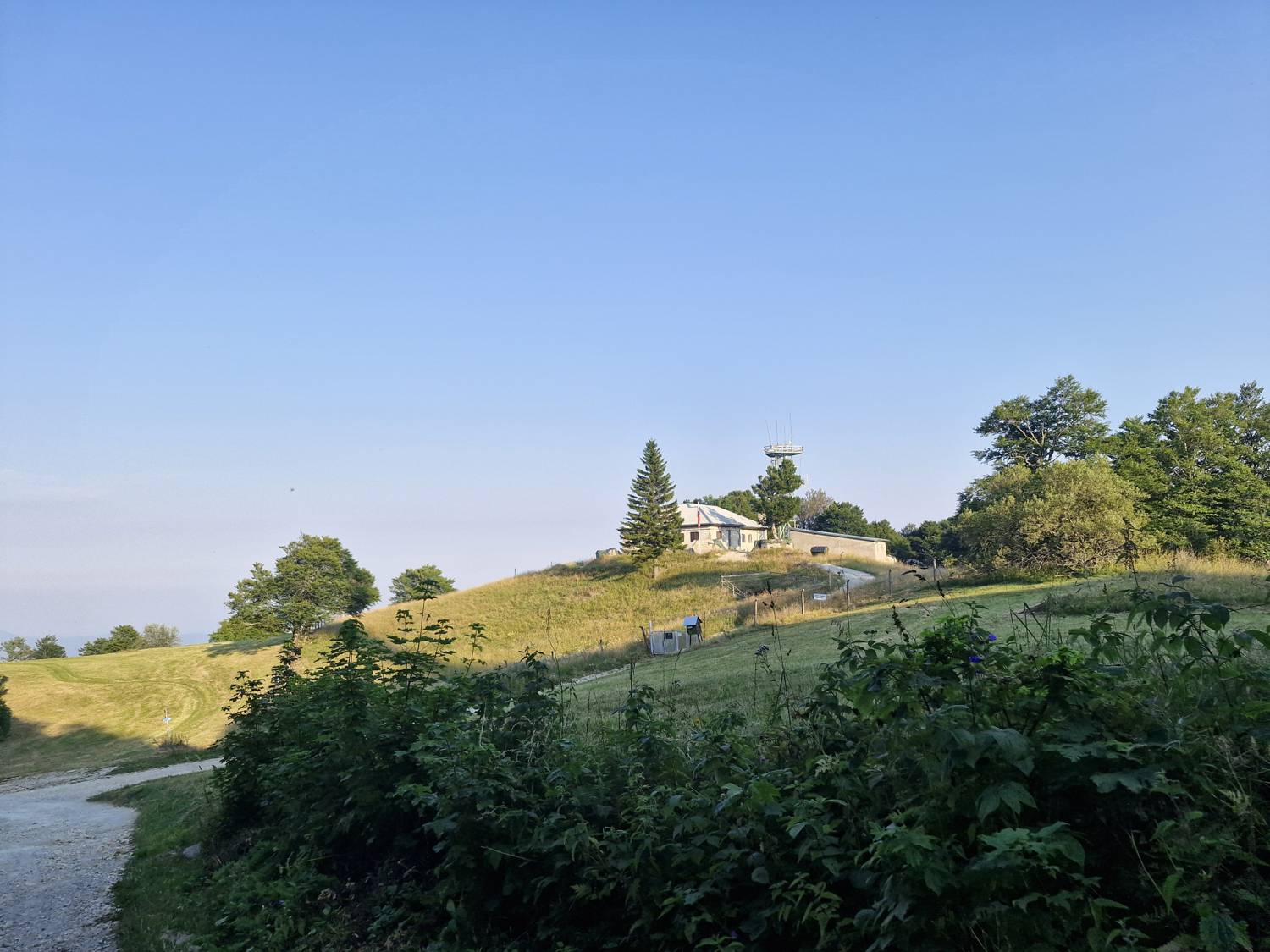
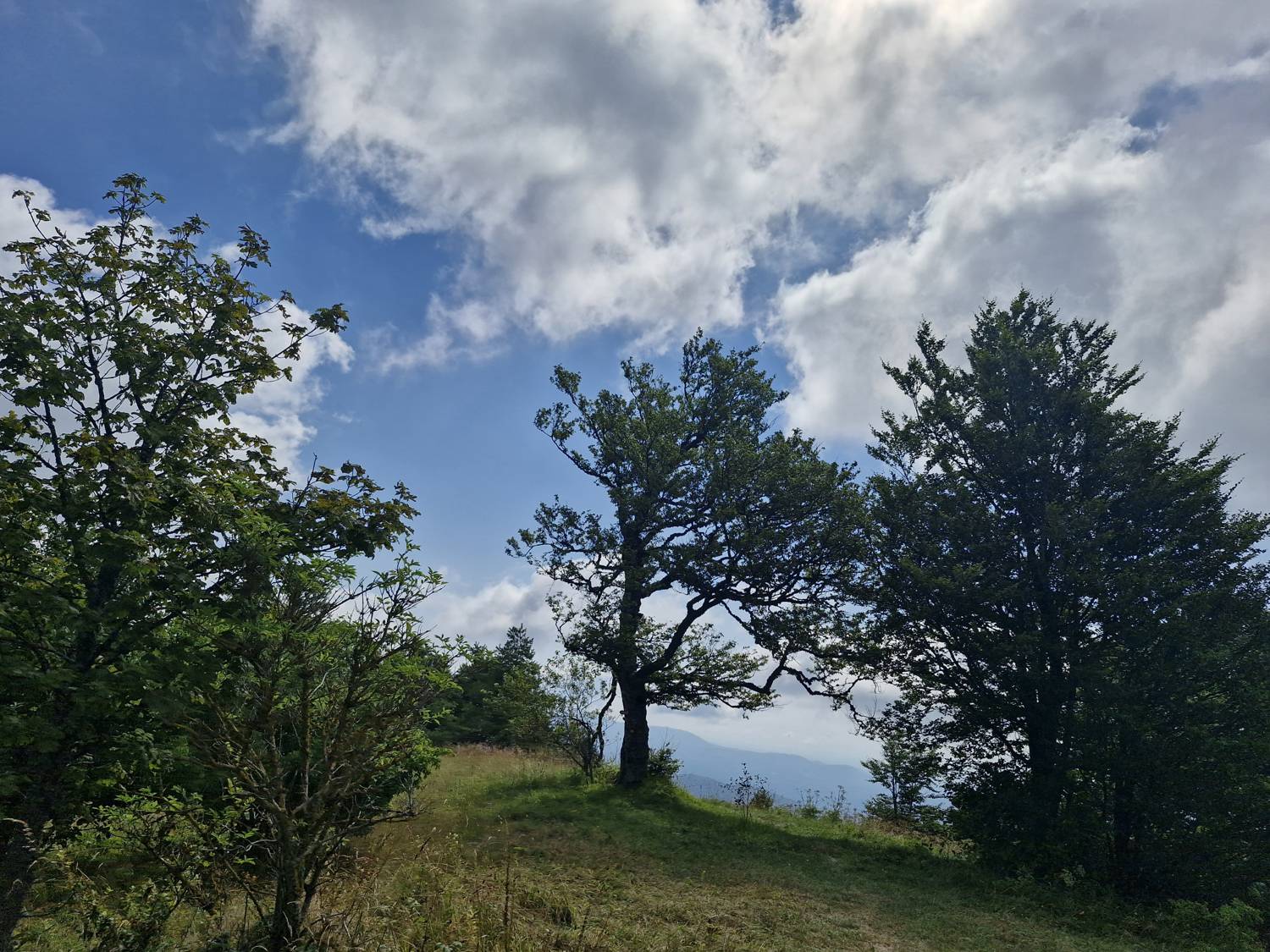
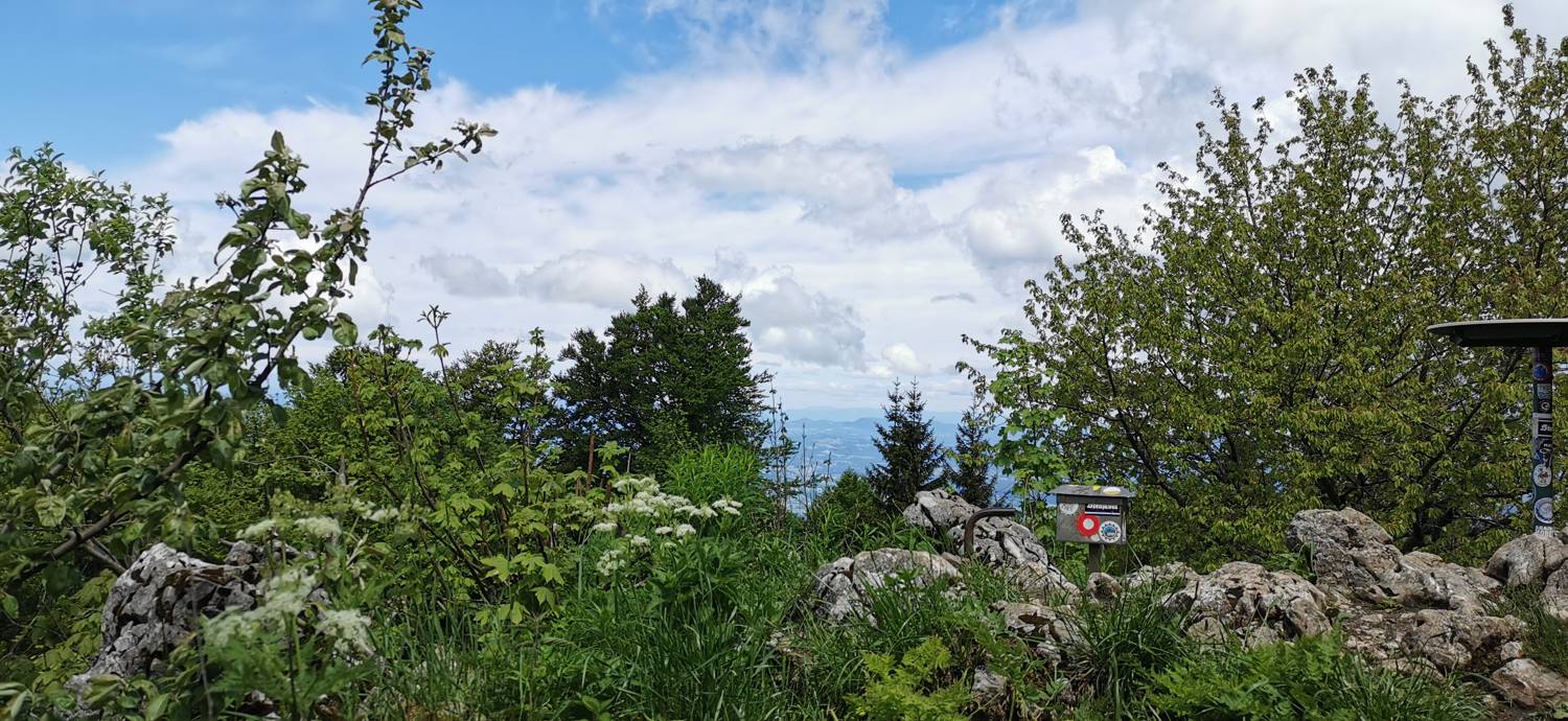
Trdinov Peak is a 1,178-meter-high peak that rises above the Vahta Pass. It lies on the border between Slovenia and Croatia—there is also a church here. You’ll also find a sign-in box there. The summit is spacious and covered with grass, offering a beautiful view of the Kamnik-Savinja Alps and the Julian Alps.

Latest check-ins

1 / 3
UserCheck-in time
panter16.07.2026, 10:09
JanjaPodbregar12.04.2025, 13:07
miny12.04.2025, 13:04
Duhec26.08.2024, 10:55
Duhec25.08.2024, 09:11
Duhec24.08.2024, 09:28
Duhec22.08.2024, 18:06
Duhec15.08.2024, 16:36
Duhec15.08.2024, 10:53

Trails

Gabrje (Dolenjska) - Trdinov vrh - main photo

Gabrje (Dolenjska) - Trdinov vrh

2 h 0 min
Easy marked route
Miklavž na Gorjancih - Trdinov vrh - main photo

Miklavž na Gorjancih - Trdinov vrh

1 h 20 min
Easy marked route
Pendirjevka (potok) - Trdinov vrh - main photo

Pendirjevka (potok) - Trdinov vrh

1 h 50 min
Easy marked route
No comments yet.
Nearby destinations
Klopčiča na Gorjancih main photo

Klopčiča na Gorjancih

1071 m
Hranilovičev vrh main photo

Hranilovičev vrh

1006 m
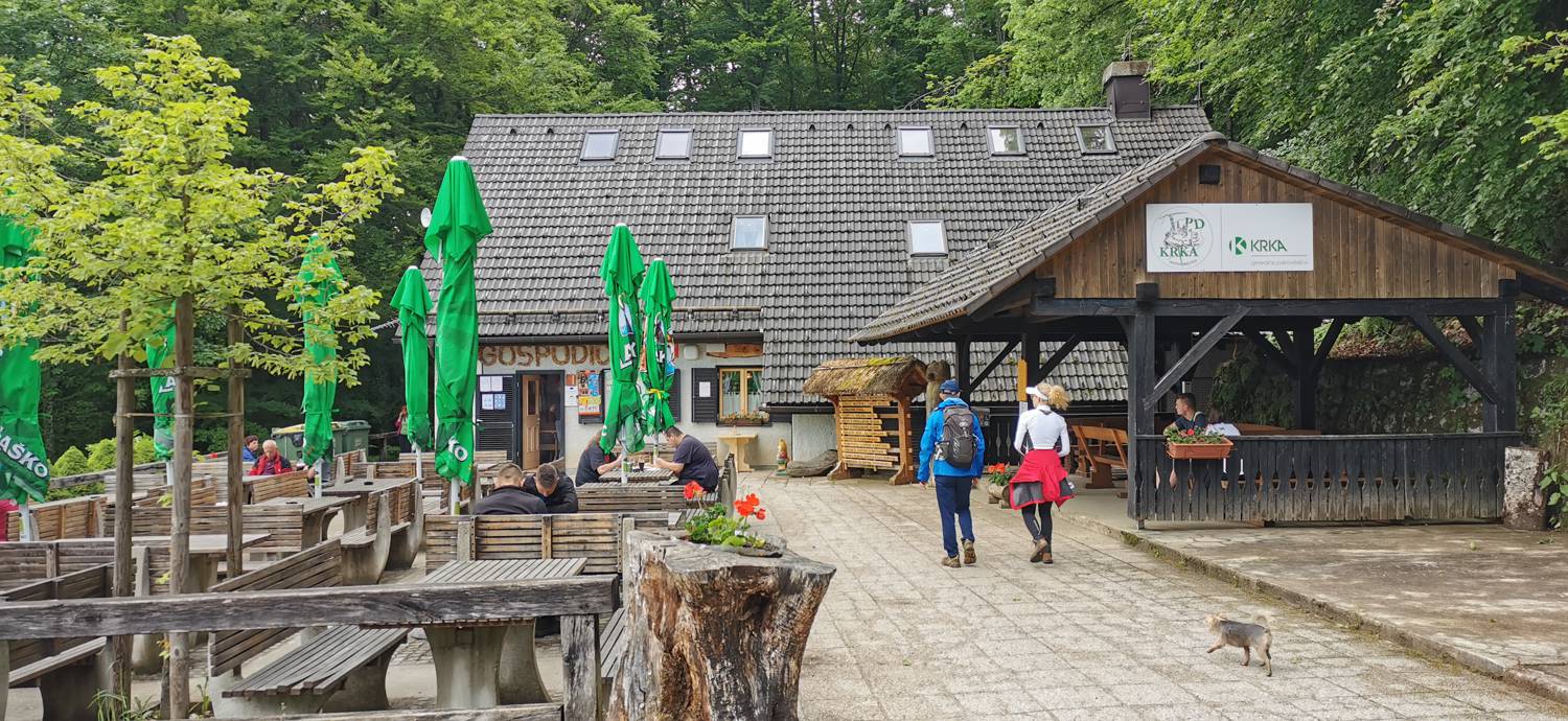
Planinski dom pri Gospodični main photo

Planinski dom pri Gospodični

822 m
Miklavž na Gorjancih main photo

Miklavž na Gorjancih

822 m
Pendirjevka (potok) main photo

Pendirjevka (potok)

540 m