Stol (General)
2236 m




 Weather
 Nearest webcam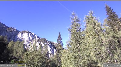
| Rating: | |
| Destination type: | Peak |
| Country: | Slovenia |
| Mountain range: | Karawanks |
| Latitude/Longitude: | 46.4339 / 14.1741 |
| Number of trails: | 3 (see the trails here) |
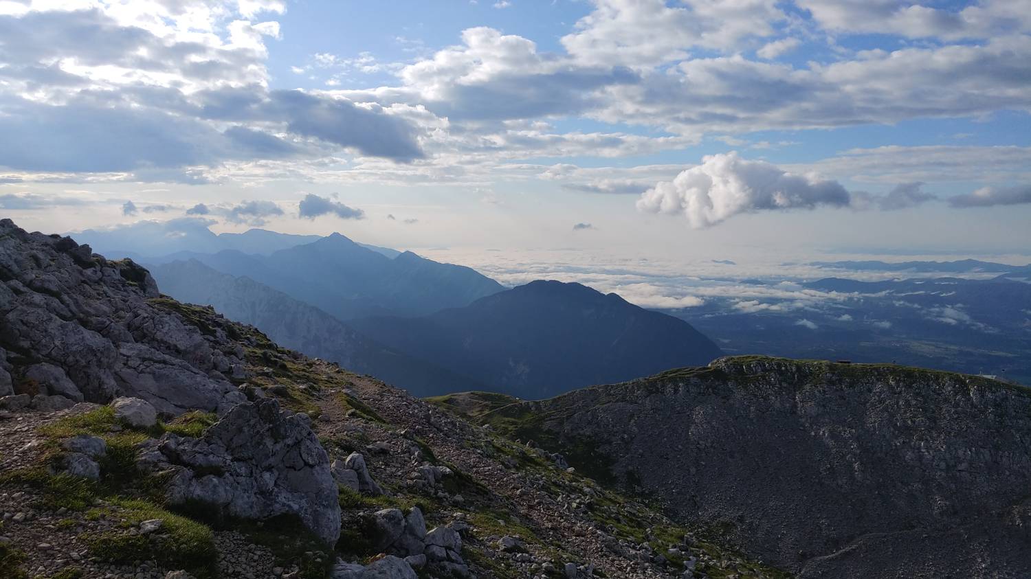
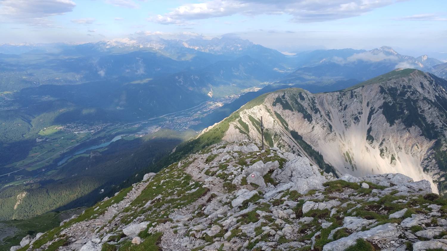
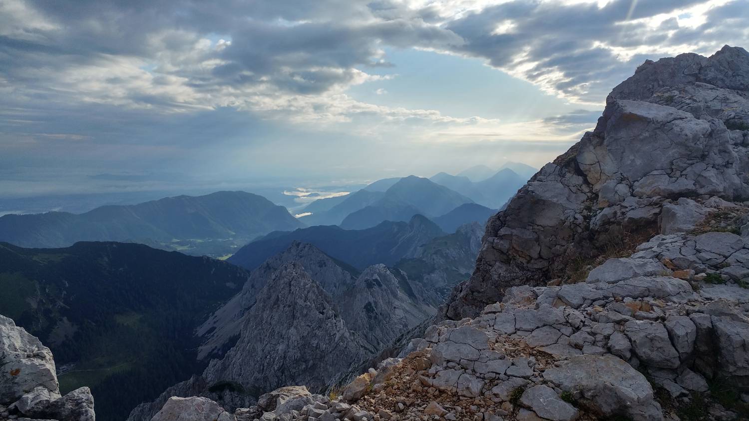
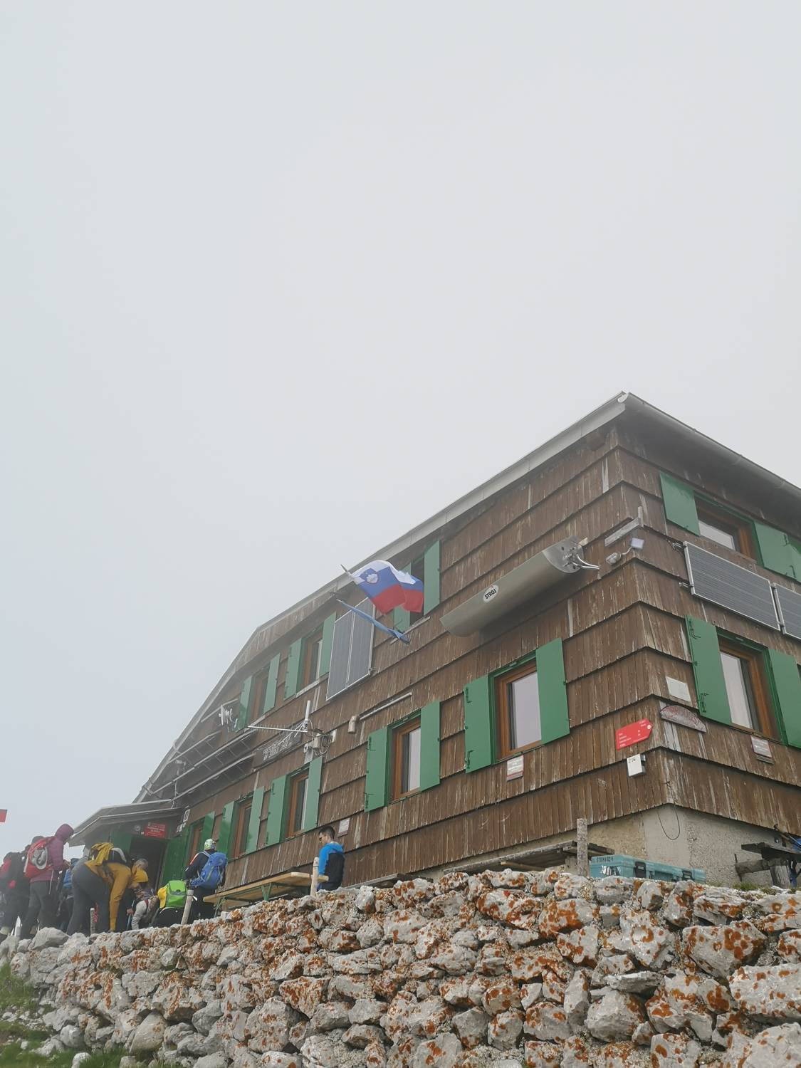
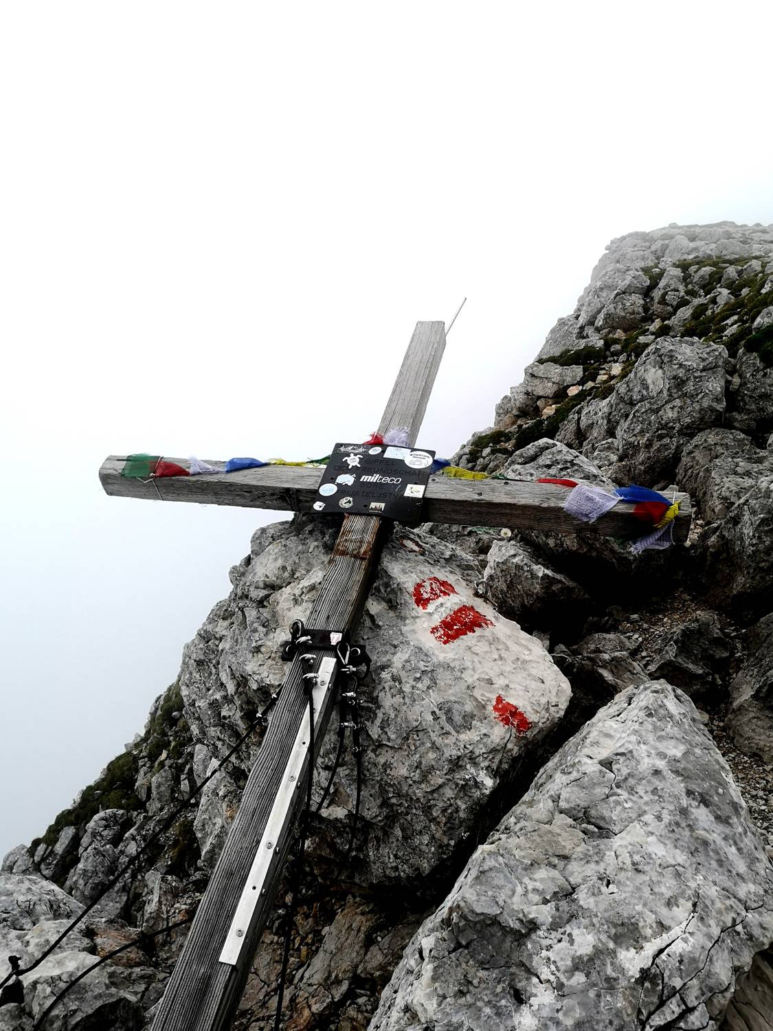
The highest peak of the Karawanks, rising 2,236 meters above sea level, is Stol (some also call it Veliki Stol). The national border between Slovenia and Austria runs along the Stol ridge. Stol has a distinctive double-peaked shape, making it recognizable from a distance. It lies along the Transversale Trail, also known as the Slovenian Mountain Trail, and is consequently part of it. You can get a stamp at the summit, right next to the guestbook. It is a well-known Slovenian mountain visited by countless hikers from all over the world. That is precisely why there are numerous trails leading to Stol. Many of them are easier, but even more experienced hikers and mountaineers will find something to enjoy, as there is even a climbing route leading to Stol from the Austrian side. The quickest route to the summit starts from the Valvasor Lodge. Slightly below Stol, at an elevation of 2,174 meters above sea level, stands the Prešeren Hut on Stol. More precisely, it is located just below the summit of Mali Stol. The hut is open only during the summer months. The first hut was built in 1909 and is named after France Prešeren, Slovenia’s greatest poet. The hut was burned down during World War II. A new one was built in 1966. A large wind turbine for generating electricity is also located next to the hut. The hut has 8 rooms, with 32 beds and 12 sleeping spots in shared dormitories. Stol is only about a 15-minute walk from the hut. Stol is a mountain with spectacular views. You can see Begunjščica, the Ljubljana Basin, the Notranjska Hills with Snežnik, Menina Planina, the Škofja Loka Hills, the Klagenfurt Basin, Ratitovec, Porezen, and Lake Bled. You can also see the Julian Alps with Triglav and all the way to the Dolomites, etc. The surrounding hills and mountains rising near Stol include: Vrtača, Zgornji Plot, and Vajnež.