



Parking Jeziorko - Stol (General)
Žirovniška pot
4 h 15 min




 Weather
 Nearest webcam
| Rating: | |
| Country: | Slovenia |
| Mountain range: | Karawanks |
| Trailhead: | Parking Jeziorko (567 m) |
| Destination: | Stol (2236 m) |
| Trailhead latitude/longitude: | 46.4072 / 14.1442 |
| Destination latitude/longitude: | 46.4339 / 14.1741 |
| Difficulty: | Easy marked route  |
| Recommended equipment: | Hiking poles Hiking shoes Water Snack |
From Ljubljana, head towards Gorenjska. Leave the motorway at the Bohinj/Pokljuka/Bled/Žirovnica/Vrba exit and take the first exit at the roundabout just after the exit and follow the road all the way to the settlement of Moste. Once you cross the bridge over the Završnica River, the road will branch off to the right. Take a sharp turn onto the road and continue until the next exit, when a dirt road turns left. Park in a suitable place on the roadside. You can also park in the car park a few hundred metres further along the road.
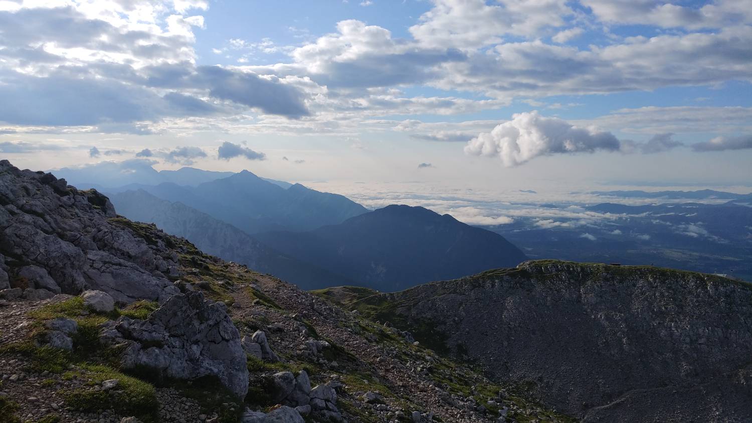
Trail description:Continue on foot along the dirt road (if you have parked in the parking lot a little further on, first go back along the road and then turn onto the dirt road). Continue for a good hour along the moderately ascending dirt road, which leads directly in front of Valvasor's House. Continue along the road which leads past the house to a grassy track, which is also signposted to Stol. The path soon leads into the forest and starts to climb moderately. Soon we will have our first views of the valley. Continue along the well-marked path, which leads to a major fork. Both paths lead to Stol, in this case we choose the left one, the Žirovnica path. The path immediately starts to climb steeply. At first the path runs through the forest, but in the second part it leads out of the forest, whereupon we are treated to wonderful views. Further on, the grassland becomes less and less and is replaced by rocks and rubble. Follow the path up to the Prešernova hut on Stolo, and then turn left along the path towards the top of Stolo. The path bypasses the hut and descends slightly, then begins to climb steeply again and leads us to the top in just 10 minutes.
Additional tips:No additional tips.
![[object Object] - [object Object] main photo](https://api.mountainsgeek.com/media/20190803_074954_HDR.jpg)
![[object Object] - [object Object] main photo](https://api.mountainsgeek.com/media/20190803_075041.jpg)


