Kum (General)
1220 m




 Weather
 Nearest webcam
| Rating: | |
| Destination type: | Peak |
| Country: | Slovenia |
| Mountain range: | The Zasavje-Posavje Hills and the Dolenjska Region |
| Latitude/Longitude: | 46.0884 / 15.0738 |
| Number of trails: | 2 (see the trails here) |
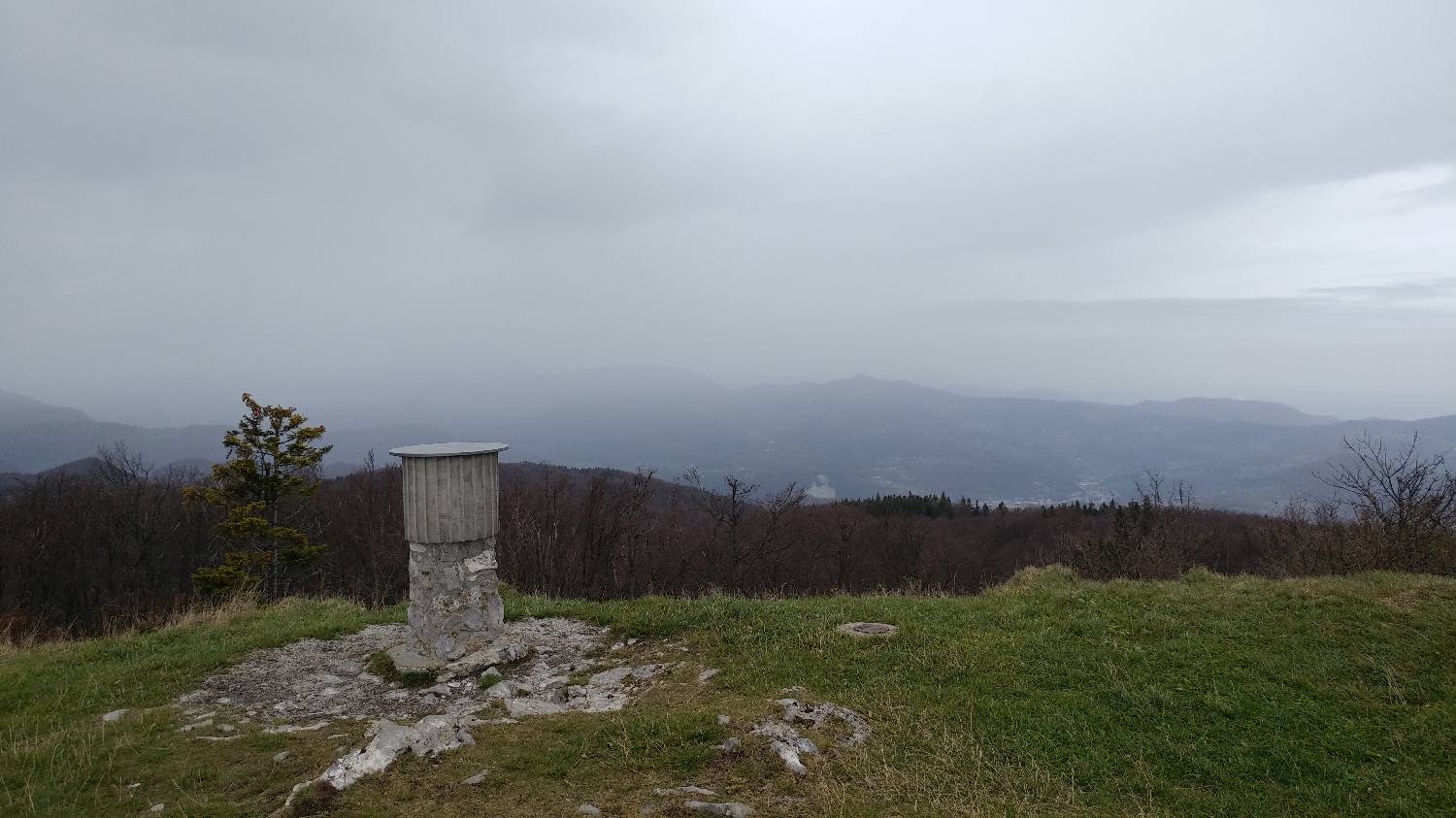
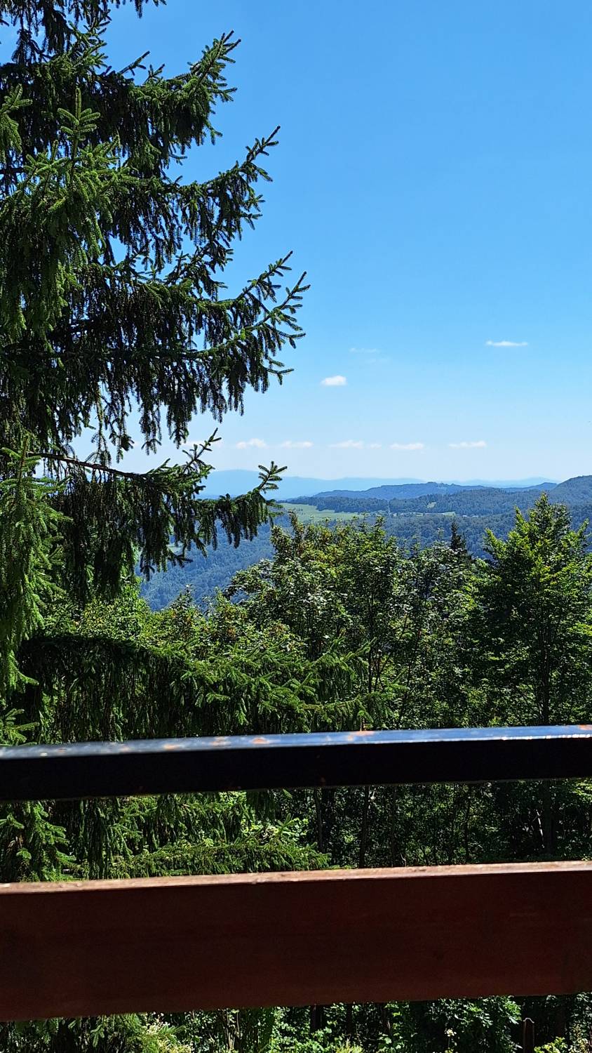
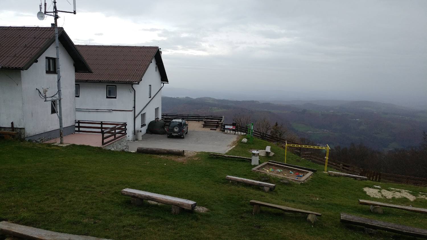
At 1,220 meters above sea level, Kum is the highest peak in the Zasavje-Posavje Hills. It rises above Trobovlje, and numerous trails lead up to it. There is also a large church at the summit. From the summit, a beautiful view of the high mountains unfolds before us.