



Lontovž - Kum (General)
Peš pot
0 h 40 min




 Weather
 Nearest webcam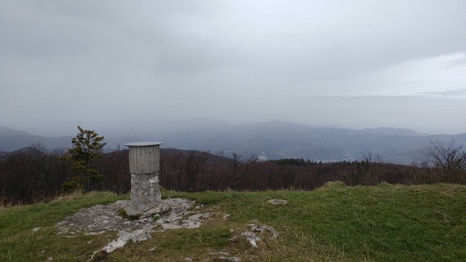
| Rating: | |
| Country: | Slovenia |
| Mountain range: | The Zasavje-Posavje Hills and the Dolenjska Region |
| Trailhead: | Lontovž (950 m) |
| Destination: | Kum (1220 m) |
| Trailhead latitude/longitude: | 46.0947 / 15.0632 |
| Destination latitude/longitude: | 46.0884 / 15.0738 |
| Difficulty: | Easy marked route  |
| Recommended equipment: | Hiking shoes Water |
From Ljubljana, follow the motorway towards Celje and Maribor. Exit the motorway at the exit for Trojane, then turn right at the junction towards Zagorje and Trbovlje. Continue driving along the main road for some time, passing Zagorje ob Savi, after which you will soon come to a major fork, where you turn left for Hrastnik and Trbovlje. From here, continue straight ahead again to a major crossroads before Trbovlje, where you turn right onto a narrower, climbing road. Follow the road through the village of Dobovec to Lontovž, where you park. The car park is right next to the road, so you can't miss it.
Trail description:On foot, continue first along the road until you reach a bend where you will notice a narrow path that turns into the forest, which will also be pointed out by a signpost for Kum. The path will lead you past a small pyramid and start climbing moderately immediately afterwards. After about 15 minutes of walking, the forest track will join the macadam road, where you turn right. Walk on the gravel for only a minute or so and then take the track which climbs right again into the thin forest. The forest is soon replaced by a grassy slope, which takes only a few minutes to reach the summit, where the Kum Mountain House, the church and the transmitter are located. The stamp of the Slovenian Alpine Route is located in the hut.
Additional tips:No additional tips.
![[object Object] - [object Object] main photo](/assets/images/default-no-image.webp)


