



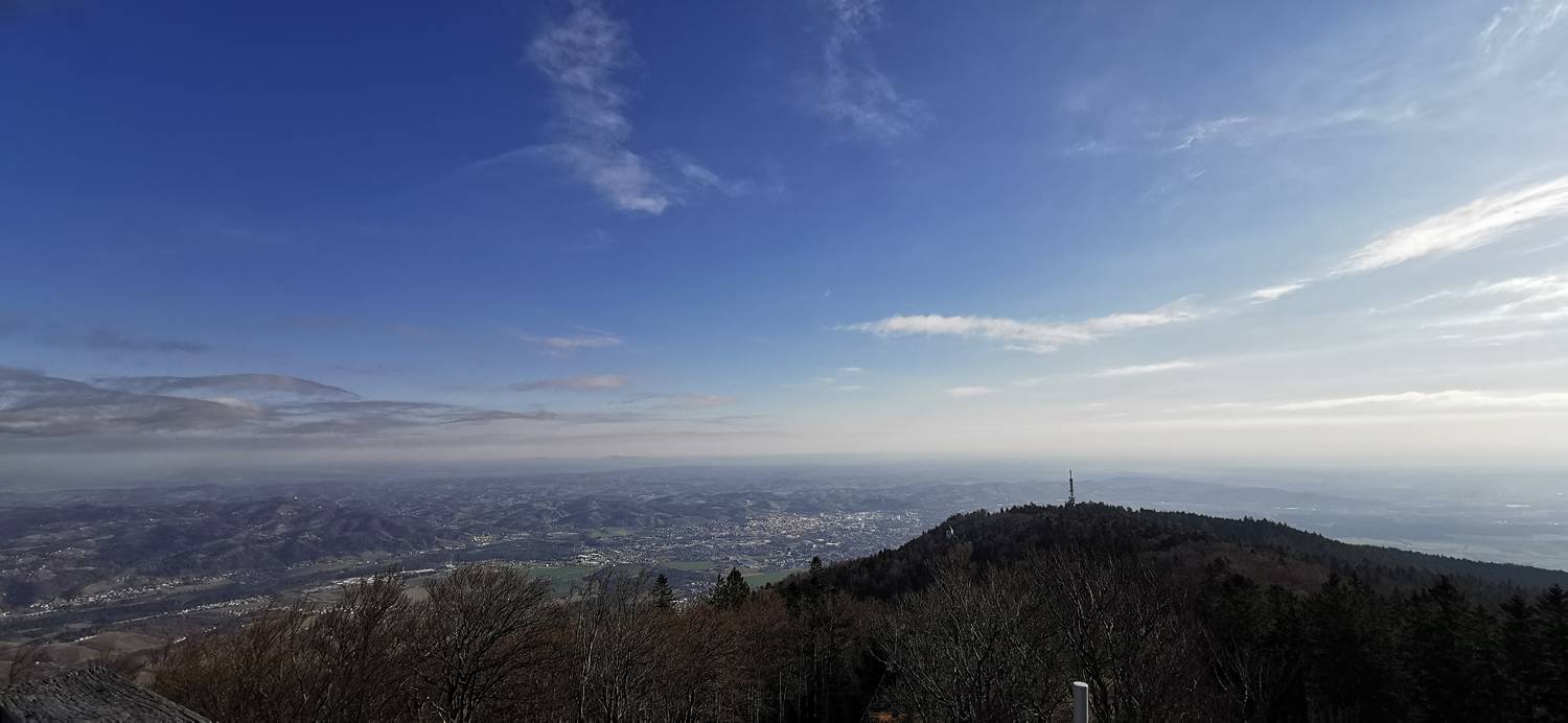
Mariborska koča - Mariborski razglednik (General)
- Hiking time0 h 30 min
- Difficulty: Easy unmarked route
- Destination:1147 m
- Elevation difference+61 m
Getting to the trailhead:
Coming from Celje, take the highway toward Maribor. Near the town of Slivnica pri Mariboru, take the Maribor-South exit, and then turn left at the traffic-light-controlled intersection. Drive past Spodnje and Zgornje Hoče and Slivniško Pohorje all the way to the Mariborska koča mountain hut, next to which there is a parking lot where you can park.
Trail description:
We set off on foot down the road, following the slope until we reach the first turnoff to the left, where we turn. We then climb the hill until, after a left-hand curve, a forest trail branches off, which we take. We follow the “main” path, which leads us to a gravel road; we join it and turn right. From here on, the terrain levels out, and we continue along the road to the vast grassy areas, where a lookout tower is also located.
Additional tips:
No additional tips.

