



Velika Zaka (Bled) - Velika Osojnica (General)
0 h 45 min




 Weather
 Nearest webcam
| Rating: | |
| Country: | Slovenia |
| Mountain range: | Julian Alps |
| Trailhead: | Velika Zaka (Bled) (508 m) |
| Destination: | Velika Osojnica (756 m) |
| Trailhead latitude/longitude: | 46.3624 / 14.0816 |
| Destination latitude/longitude: | 46.3571 / 14.0748 |
| Difficulty: | Easy marked route  |
| Recommended equipment: |
Drive to Bled and go straight ahead at the crossroads, along the road that leads past the lake. After a while, the road will descend right down to the lake. When it rises again, it will soon be possible to turn off after Villa Bled onto a narrower road on our right - turn here. Continue driving to the first fork, where you turn right again. From here, drive on for a short distance until you see a larger car park at Camping Bled. Park here.
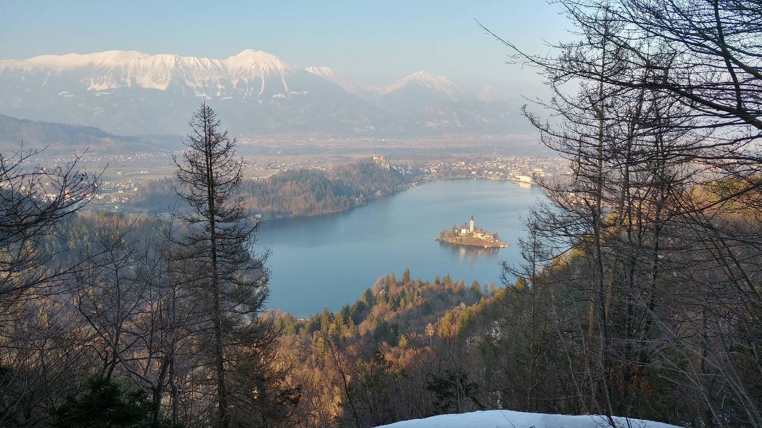
Trail description:Continue on foot along the pavement. After passing the first bend, you will see a signpost for Ojstrica and Osojnica on your right - turn into the forest here. The path will be level at first, but will soon start to climb steeply. We follow it to the first fork, where we keep to the left. The path will initially lay down again, but will soon start to climb again. After about 20 minutes of climbing, we will reach the crossroads again. Turn right here. Walk along the flatter part until you reach a bend where the path starts to climb gently in a meandering manner towards the summit. As there is no view from the top, walk a few hundred metres further along the path to the viewpoint.
Additional tips:No additional tips.


