



Zakojca - Planina Otavnik (General)
2 h 30 min




 Weather
 Nearest webcam
| Rating: | |
| Country: | Slovenia |
| Mountain range: | The Škofja Loka and Cerkno Hills and Jelovica |
| Trailhead: | Zakojca (148 m) |
| Destination: | Planina Otavnik (1268 m) |
| Trailhead latitude/longitude: | 46.1649 / 13.9271 |
| Destination latitude/longitude: | 46.1658 / 13.9627 |
| Difficulty: | Easy marked route  |
| Recommended equipment: | Hiking poles Hiking shoes Water Snack |
From Tolmin, head towards Most na Soči. Turn left here and continue to Bača pri Modreju. Here turn left again towards Podbrdo. Follow the road to Hudejužna, where turn right and follow the bridge over the river. Continue to Zakojca, where you can park in the car park next to the educational sign.
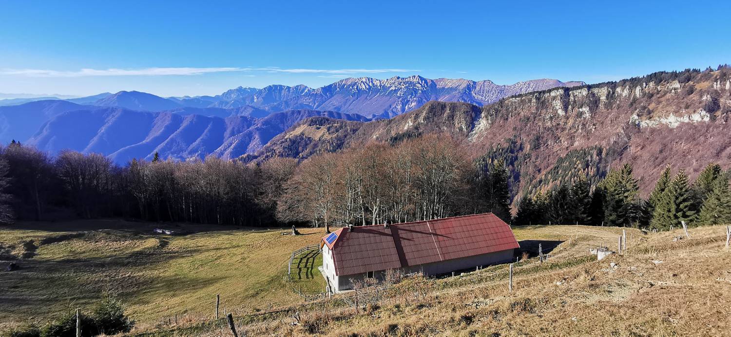
Trail description:Keep walking through the village until you reach an old stone house at a crossroads, which is inscribed with a number of hiking destinations. Turn right towards Porezen. The road soon becomes gravel. You will follow it for a long time as you climb up to the Vrh Ravni pass. From here, continue following the signpost for Porezen. A longer ascending walk on a dirt road follows. When you reach another parking area, the road will turn and you will start descending. At the end of the descent, the plain begins and the road leads out of the forest. There is a sharp turn to the right and you cross a pasture gate. You will then follow the path up to a small hunting lodge, which you pass on the right and continue walking uphill. Soon the path will split, the right one will lead to Otavnik, you will go around the top on the left and you will reach the Otavnik mountain.
Additional tips:No additional tips.
![[object Object] - [object Object] main photo](https://api.mountainsgeek.com/media/IMG_20201122_141300_d0aR1JT.jpg)


