Planina Otavnik (General)
1268 m




 Weather
 Nearest webcam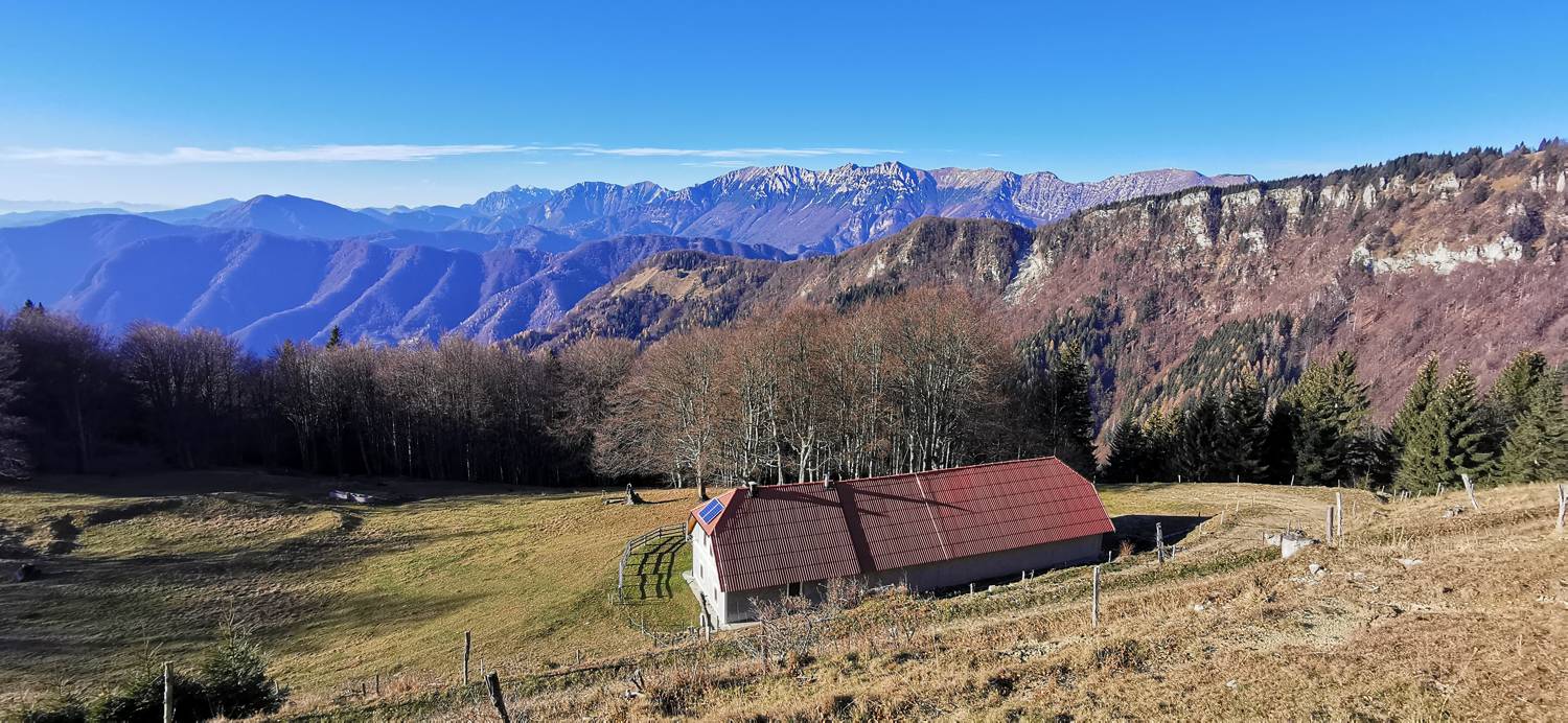
| Rating: | |
| Destination type: | Mountain Pasture |
| Country: | Slovenia |
| Mountain range: | The Škofja Loka and Cerkno Hills and Jelovica |
| Latitude/Longitude: | 46.1658 / 13.9627 |
| Number of trails: | 2 (see the trails here) |
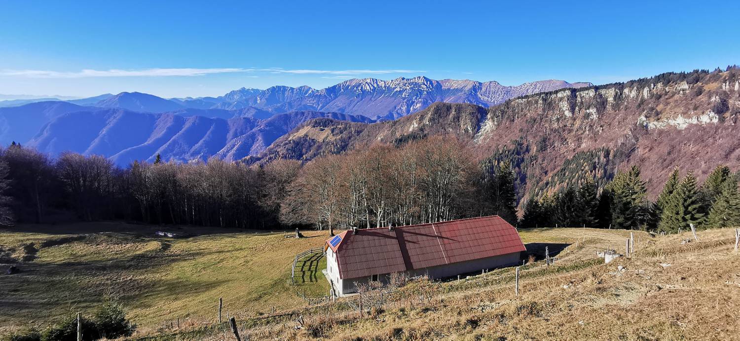
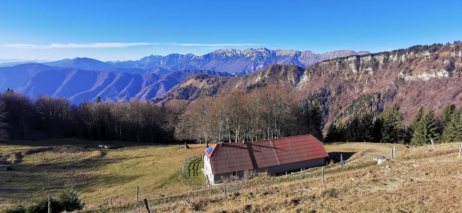
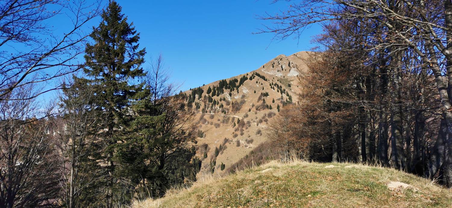
The Otavnik mountain pasture lies at an elevation of 1,268 meters, just below the peak of the same name. It is a fairly extensive mountain pasture with a hut on it. There is also a hunting blind on the pasture.
No check-ins.