



Vrhnika - Planina nad Vrhniko (General)
Čez Špico
1 h 0 min




 Weather
 Nearest webcam
| Rating: | |
| Country: | Slovenia |
| Mountain range: | The Goriška, Notranjska, and Snežnik Mountain Ranges |
| Trailhead: | Vrhnika (300 m) |
| Destination: | Planina nad Vrhniko (733 m) |
| Trailhead latitude/longitude: | 45.9635 / 14.2751 |
| Destination latitude/longitude: | 45.9714 / 14.2518 |
| Difficulty: | Easy marked route  |
| Recommended equipment: | Hiking shoes Water |
If you take the motorway, take the Vrhnika exit. At the motorway exit, turn towards Logatec and follow the old road through Vrhnika until you reach the last traffic lights. Turn right here and continue straight ahead until you reach a car park, which will appear just along your route. Here you will also see signs pointing to our destination.
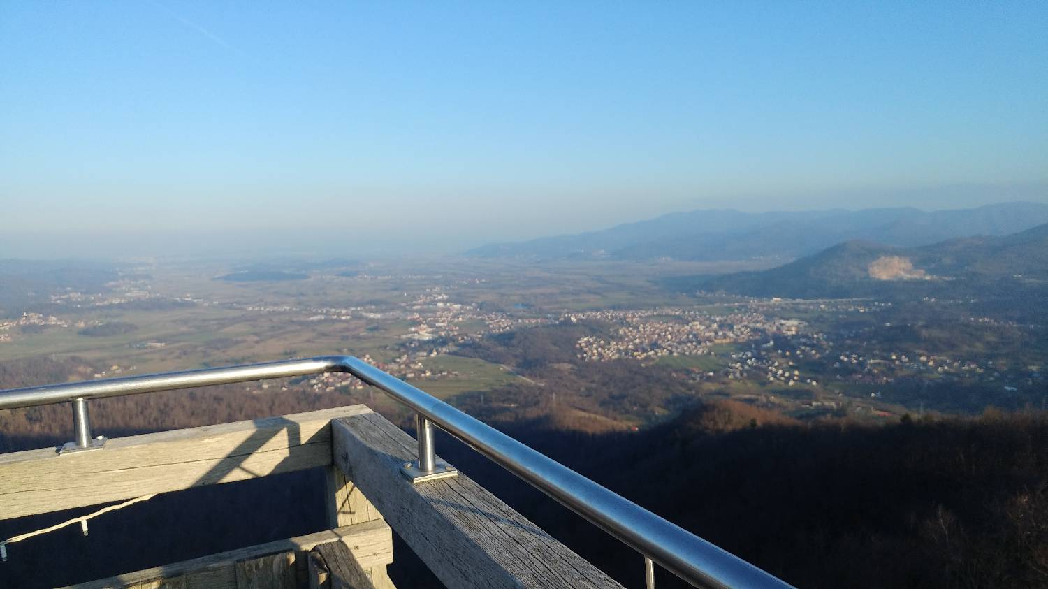
Trail description:Park and continue on foot along the narrow path, which turns left off the road into a small forest, as indicated by a signpost. Continue along this path for a short distance, which will soon lead you to an asphalted road. Turn left and stay on the road until you reach a small, dilapidated house with a signpost for Planina. Here, turn back onto the forest track, which will start to climb steeply. The path will lead us to the first major crossroads, which will be identified by Zupan's bench. We keep to the right here. The path becomes steeper, so we quickly climb up to the next prominent bench with the inscription Špica. Here you can take a little breather, then panadaljujeme on along the path, which will soon lead us to the top. For a better view, you can also climb the tall wooden tower.
Additional tips:No additional tips.
![[object Object] - [object Object] main photo](https://api.mountainsgeek.com/media/thumbnail_iJQA6gv.webp)


