Loader Icon
General
General
General
Photos
General
Map
General
Webcams

Planina nad Vrhniko (General)

733 m
Cloud icon Weather
Camera icon    Nearest webcam
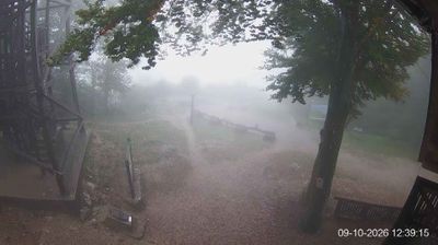
Webcam Vrhnika › East: Koča na Planini nad Vrhniko
Planina nad Vrhniko main photo
Rating:
Destination type: Mountain Pasture
Country: Slovenia
Mountain range: The Goriška, Notranjska, and Snežnik Mountain Ranges
Latitude/Longitude: 45.9714 / 14.2518
Number of trails: 2 (see the trails here)

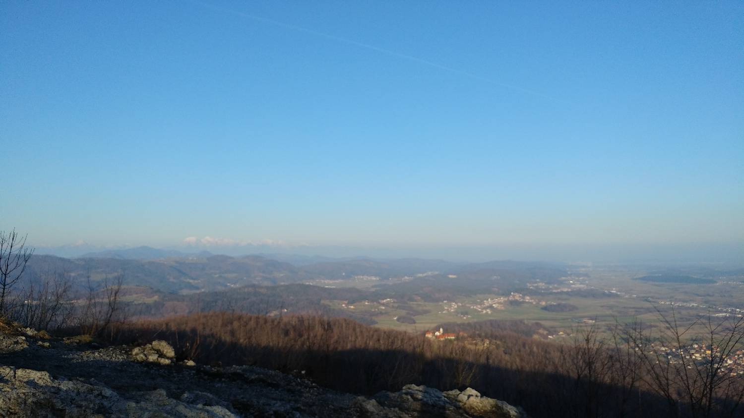
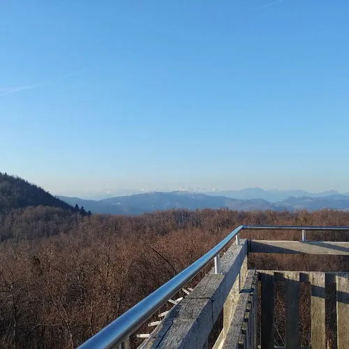
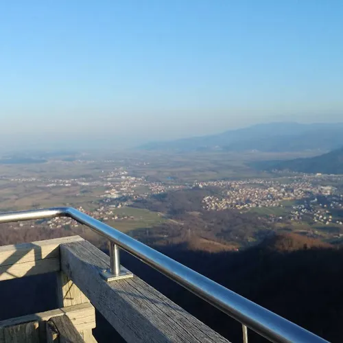
Planina nad Vrhniko is a 733-meter-high peak that rises above the town of the same name. It is a popular destination for day trips, especially among local residents. At the summit, there is a renovated mountain hut and a tall wooden tower, which offers a spectacular view of both the high mountains and the surrounding villages and meadows.
Latest check-ins

1 / 11
UserCheck-in time
sebastijan7416.06.2026, 19:07
sebastijan7406.06.2026, 14:07
zztopka09.04.2026, 13:46
sebastijan7422.02.2026, 12:30
sebastijan7408.02.2026, 13:10
Nataša Bakaršič31.01.2026, 10:25
sebastijan7404.01.2026, 12:59
sebastijan7401.01.2026, 13:18
sebastijan7409.11.2025, 10:18
sebastijan7402.11.2025, 10:13

Trails

No comments yet.
Nearby destinations
Ulovka main photo

Ulovka

801 m
Vrhnika main photo

Vrhnika

300 m
Strmica main photo

Strmica

626 m
Rajna peč main photo

Rajna peč

656 m
Močilnik (izvir Ljubljanice) main photo

Močilnik (izvir Ljubljanice)

356 m