



Italijanska kostnica - Razgledna točka Kobariške zgodovinske poti (General)
0 h 25 min




 Weather
 Nearest webcam
| Rating: | |
| Country: | Slovenia |
| Mountain range: | Julian Alps |
| Trailhead: | Italijanska kostnica (290 m) |
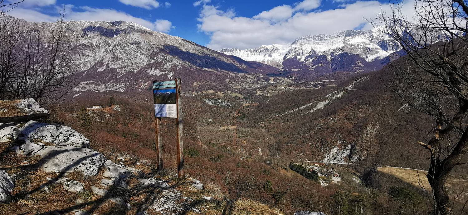
| Destination: | Razgledna točka Kobariške zgodovinske poti (412 m) |
| Trailhead latitude/longitude: | 46.2473 / 13.5831 |
| Destination latitude/longitude: | 46.2524 / 13.5795 |
| Difficulty: | Easy marked route  |
| Recommended equipment: | Hiking poles Hiking shoes Water |
From Tolmin, drive to Kobarid. In the town center, you’ll come to a major intersection; turn right onto the narrower road. This road soon splits again; here, continue straight onto the narrower road, which begins to climb. Just before this road begins, you’ll see signs for the ossuary. Park in the designated parking lot in front of the ossuary.
Trail description:Look for the hiking trail on the left side of the parking lot. The gravel path leads into the forest. Immediately upon entering the forest, you’ll come to a fork in the trail; take the left path (signposted for Tonoc Castle). Follow the trail, which climbs gently and leads back to a fork. Turn right, still heading toward Tonocov Castle. From here, a trail branching off to the left toward Veliki Rob will soon appear; join this trail. After a short walk, you’ll see directional signs. Here, turn right toward the lookout point (the sign is marked with half a flower). A short climb follows, and you’ll reach your destination.
Additional tips:No additional tips.


