



Drežnica - Bivak na Črniku (General)
1 h 45 min




 Weather
 Nearest webcam
| Rating: | |
| Country: | Slovenia |
| Mountain range: | Julian Alps |
| Trailhead: | Drežnica (541 m) |
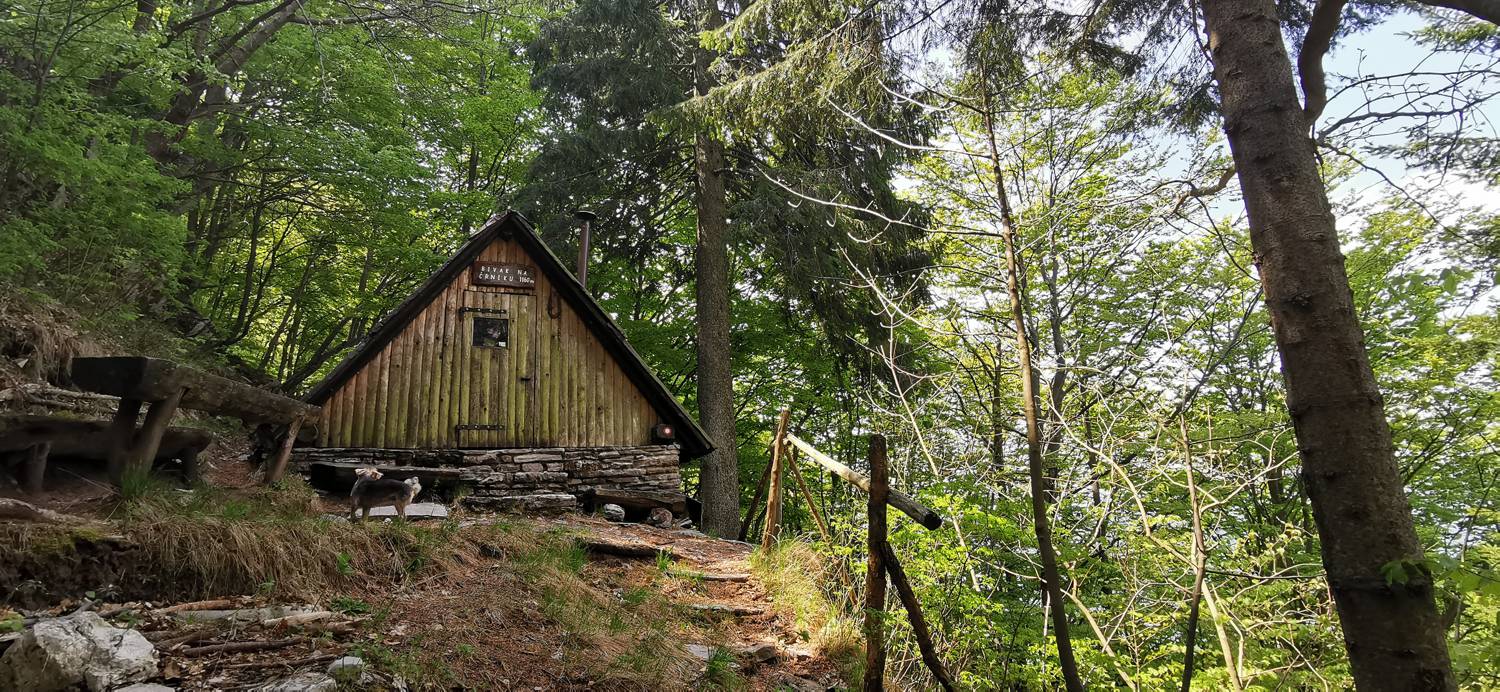
| Destination: | Bivak na Črniku (1160 m) |
| Trailhead latitude/longitude: | 46.2555 / 13.6168 |
| Destination latitude/longitude: | 46.2647 / 13.6428 |
| Difficulty: | Easy marked route  |
| Recommended equipment: | Hiking poles Hiking shoes Water Snack |
From Tolmin, head toward Kobarid. Here, just past the gas station, turn right toward Vrsno, Bovec, and Drežnica. Immediately after that, you’ll come to a fork in the road, where you’ll turn right again. Continue along the road, cross the Napoleon Bridge over the Soča River, then turn left and continue along the road all the way to Drežnica, where you’ll park near the playground.
Trail description:From the parking lot, we head along the road toward the chapel. There’s a fork in the road here; we take the middle path, which quickly turns into a dirt track and leads into the forest. In the forest, the trail begins to climb; follow it past a weekend cottage and continue on to the fork in the trail. Here, follow the signs for Krn and continue along the trail to the grassy areas. Next, we cross the meadows along a narrow path, enjoying wonderful views of the high mountains along the way. The trail then leads back into the forest and soon joins a gravel road. We follow it until we cross a small bridge; immediately after that, we turn left back onto a forest trail. Soon we’ll return to the gravel road and reach another fork, where we turn left toward the bivouac. Walk along the gravel road to the signpost for the Western Trail, where you turn left and climb up the narrow path to the bivouac.
Additional tips:No additional tips.


