Bivak na Črniku (General)
1160 m




 Weather
 Nearest webcam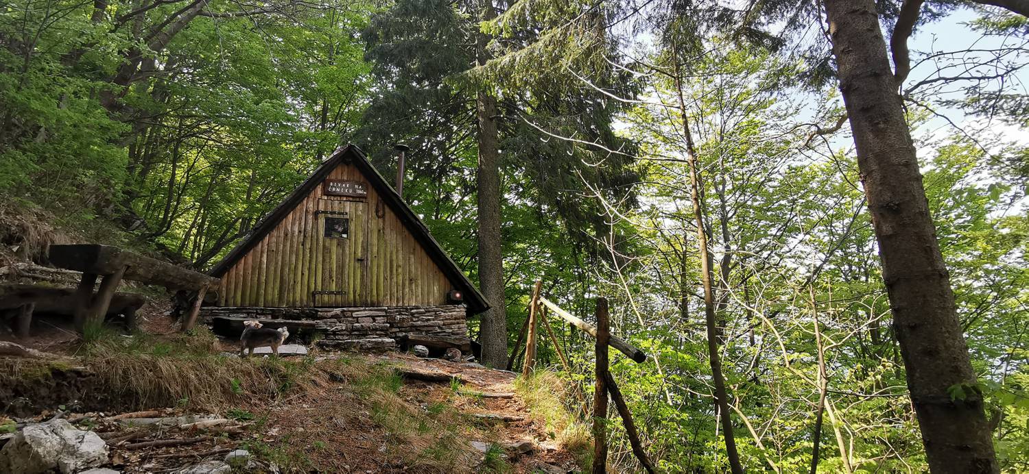
| Rating: | |
| Destination type: | Bivouac |
| Country: | Slovenia |
| Mountain range: | Julian Alps |
| Latitude/Longitude: | 46.2647 / 13.6428 |
| Number of trails: | 1 (see the trails here) |
The shelter on Črnik is located at an elevation of 1,160 meters above sea level, above Drežnica. Inside the shelter is a table with benches. Since the shelter is surrounded by forest, there is no better view from in front of it.
No check-ins.