



Podmelec - Slap Sopota (General)
0 h 10 min




 Weather
 Nearest webcam
| Rating: | |
| Country: | Slovenia |
| Mountain range: | Julian Alps |
| Trailhead: | Podmelec (310 m) |
| Destination: | Slap Sopota (400 m) |
| Trailhead latitude/longitude: | 46.1675 / 13.8034 |
| Destination latitude/longitude: | 46.1706 / 13.803 |
| Difficulty: | Easy marked route  |
| Recommended equipment: | Hiking shoes |
From Tolmin, we head toward Most na Soči. Shortly after crossing the Tolmin Bridge, the road will fork; we’ll turn left toward Poljubinj. We’ll continue along the road, past Poljubinj and Ljubinj, and on toward the village of Podmelec. The parking lot along the road is located just before the village; you’ll recognize it by the sign pointing to the Sopota Waterfall. We’ll park here.
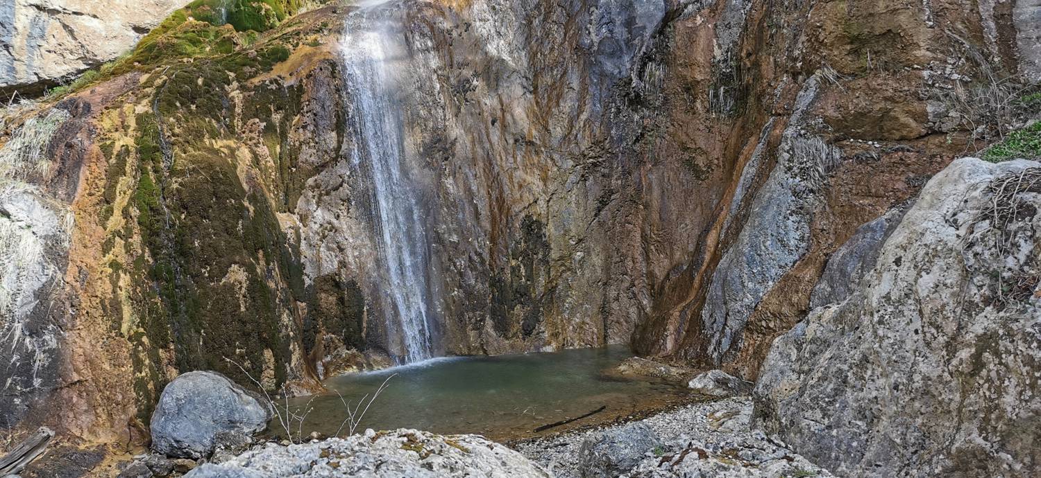
Trail description:We set off on foot up the hill along a cart track, following the direction sign. The cart track soon turns into a path and leads into the forest. We follow the path—which is protected by a wooden railing and equipped with wooden steps in some sections—all the way to the waterfall.
Additional tips:No additional tips.


