Slap Sopota (General)
400 m




 Weather
 Nearest webcam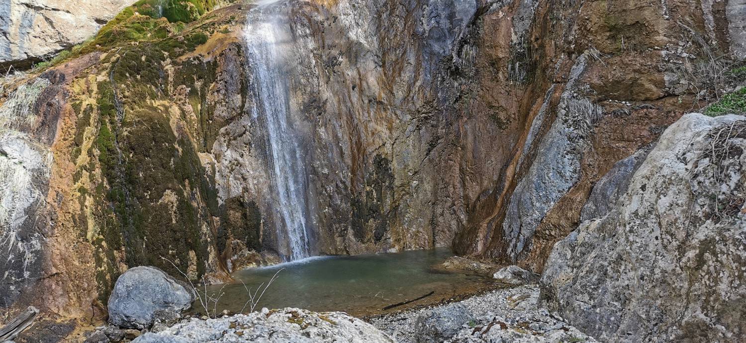
| Rating: | |
| Destination type: | Waterfall |
| Country: | Slovenia |
| Mountain range: | Julian Alps |
| Latitude/Longitude: | 46.1706 / 13.803 |
| Number of trails: | 1 (see the trails here) |
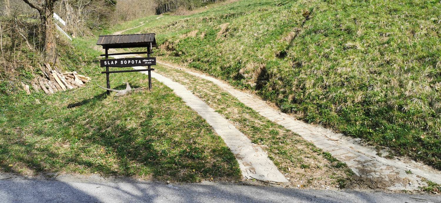
The Sopota Waterfall is located above the village of Podmelec. The waterfall is 62 meters high. A short forest trail leads to the waterfall. The waterfall is located in a forest with no view.