



Mariborska koča - Ledinekov kogel (General)
0 h 30 min




 Weather
 Nearest webcam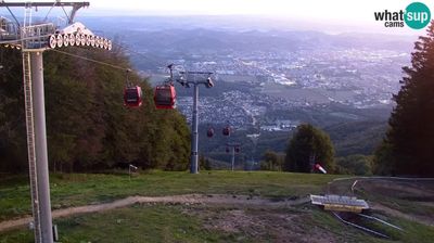
| Rating: | |
| Country: | Slovenia |
| Mountain range: | Pohorje and the rest of northeastern Slovenia |
| Trailhead: | Mariborska koča (1086 m) |
| Destination: | Ledinekov kogel (1182 m) |
| Trailhead latitude/longitude: | 46.5016 / 15.5553 |
| Destination latitude/longitude: | 46.506 / 15.5547 |
| Difficulty: | Easy unmarked route  |
| Recommended equipment: | Hiking shoes |
Coming from Celje, take the highway toward Maribor. Near the town of Slivnica pri Mariboru, take the exit for “Maribor – South,” and then turn left at the traffic-light-controlled intersection. Drive past Spodnje and Zgornje Hoče and Slivniško Pohorje all the way to the Mariborska koča mountain hut, next to which there is a parking lot where you can park.
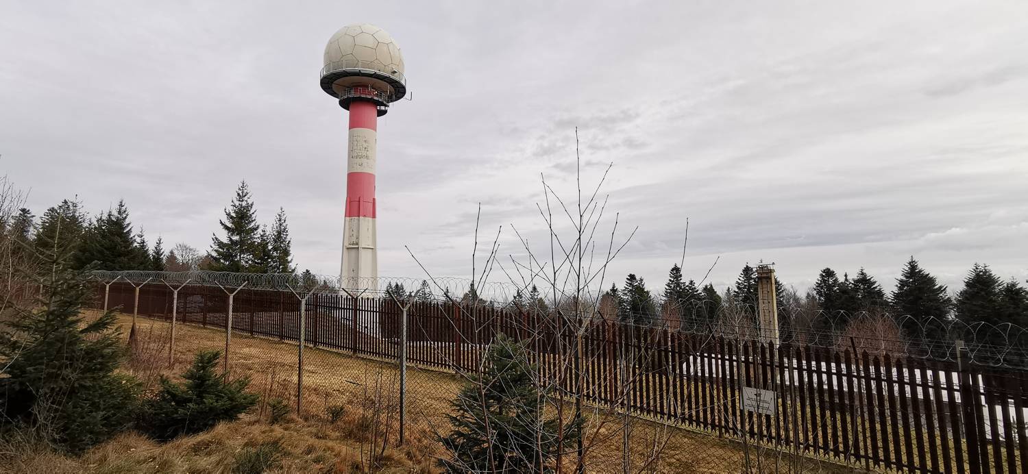
Trail description:We set off on foot down the road, following the slope, until we reach the first turnoff to the left, where we turn. We then climb the hill until, after a left-hand curve, a forest trail branches off, which we take. We follow the “main” trail all the way to a fork, where we turn left. The trail becomes much narrower and harder to see, and it curves to the left. Follow it up a gentle slope until you reach a cart track; join it and turn left. Continue along the cart track for a short while until you reach a speed camera on your left.
Additional tips:No additional tips.


