



Cerkev Sv. Petra - Mrzli vrh (General)
Čez Vodel
3 h 0 min




 Weather
 Nearest webcam
| Rating: | |
| Country: | Slovenia |
| Mountain range: | Julian Alps |
| Trailhead: | Cerkev Sv. Petra (325 m) |
| Destination: | Mrzli vrh (1359 m) |
| Trailhead latitude/longitude: | 46.198 / 13.7346 |
| Destination latitude/longitude: | 46.2192 / 13.6951 |
| Difficulty: | Easy unmarked route  |
| Recommended equipment: | Hiking poles Hiking shoes Water Snack |
Drive to Tolmin and at the main traffic lights turn in the direction of Zatolmin (right if you are coming from Ljubljana, or left if you are coming from Nova Gorica). In Zatolmin, follow the main road leading to Tolmisnki kority and Čadrg. Follow this road straight ahead at first, and then the road begins to climb in a winding manner. Follow it all the way to the cekvica Sv. Petra, where you will also see a sign for the Triglav National Park. There is a small parking lot along the road, where you park.
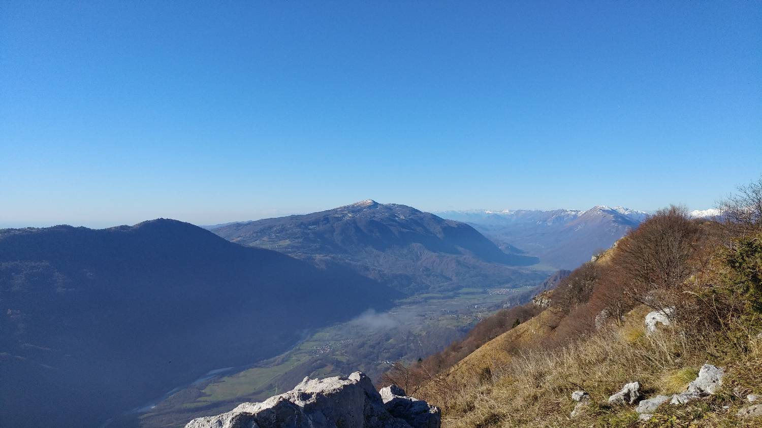
Trail description:Continue on foot along the track that runs just to the left of the church. The track will soon turn into a narrow forest path behind the church, which will take you all the way up to the asphalt road. Continue along this road for a few hundred metres until you see a narrow turnoff on the right-hand side. Here you turn back onto the forest track. The path will lead you to Selce, where the chapel is also located. Continue on the trail behind the chapel. Here the path begins to climb steeply and remains so almost to our summit. Along the way, you can observe the mighty peaks of the Julian Alps. Just before the summit, the trail passes from the forest to the meadow. Only a few hundred metres of gentler ascent await us and we will reach the intermediate point of our hike - Vodela. Here you will find a bench and a registration book. We continue over the fence, along a grassy track. From here we can already see our destination. The path leads us past a donkey's hut. We will also pass a stone hut and then cross a wooden gate which is a fence for the cattle that graze up here in the summer season. We walk for a while on a fairly flat surface. In the meantime, cross another gate and then another, just at the left turn, from where the path will slowly start to climb again gentlySoon this path will join up with the track. Continue along it. At this point you will notice that the path becomes signposted. The markings will lead us to another gate - this time a little wider. Continue past it, but pay attention here as you will soon be able to turn into the forest. From here on, we ignore the markings and turn left onto the ascending forest trackless path about 200m before the cottage, which is hidden in the forest. Here we follow a less visible path which climbs all the time. In between, you pass an old military bunker, where the path becomes more visible again. Follow it and it soon leads out of the forest. There is one last climb up a rather steep grassy slope and we will arrive at our destination.
Additional tips:No additional tips.
![[object Object] - [object Object] main photo](https://api.mountainsgeek.com/media/35.jpg)
![[object Object] - [object Object] main photo](https://api.mountainsgeek.com/media/IMG_20191225_112944.jpg)
![[object Object] - [object Object] main photo](https://api.mountainsgeek.com/media/IMG_20191225_112838.jpg)
![[object Object] - [object Object] main photo](https://api.mountainsgeek.com/media/32_SGA3Rfo.jpg)


