



Bar Pasice - Bolnica Franja (General)
0 h 15 min




 Weather
 Nearest webcam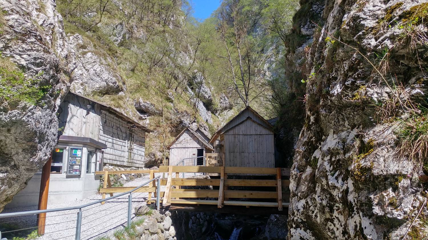
| Rating: | |
| Country: | Slovenia |
| Mountain range: | The Škofja Loka and Cerkno Hills and Jelovica |
| Trailhead: | Bar Pasice (494 m) |
| Destination: | Bolnica Franja (601 m) |
| Trailhead latitude/longitude: | 46.15 / 14.0273 |
| Destination latitude/longitude: | 46.1535 / 14.0282 |
| Difficulty: | Easy marked route  |
| Recommended equipment: |
From Škofja Loka, head towards Hotavlje, and from here continue along the main road to Gorenjie Novakov, then turn left at an unmarked fork and continue on to the Pasice bar, where you park in a well-maintained car park. At the end of the car park there is also a stamp of the Slovenian Alpine Route.
Trail description:Continue on foot to the end of the car park, where there is a signpost and educational boards, and turn left here, descending a few dozen metres to the next fork. At the fork, a signpost points to the right towards the hospital, from where you continue along the river to the hospital. The path is initially a dirt track, then it is replaced by wooden bridges and steps.
Additional tips:No additional tips.


