Bolnica Franja (General)
601 m




 Weather
 Nearest webcam
| Rating: | |
| Destination type: | Other |
| Country: | Slovenia |
| Mountain range: | The Škofja Loka and Cerkno Hills and Jelovica |
| Latitude/Longitude: | 46.1535 / 14.0282 |
| Number of trails: | 1 (see the trails here) |
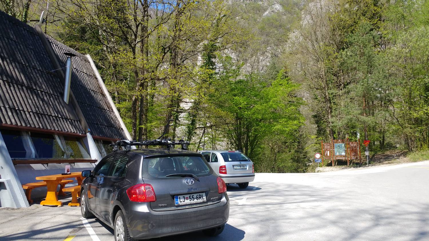
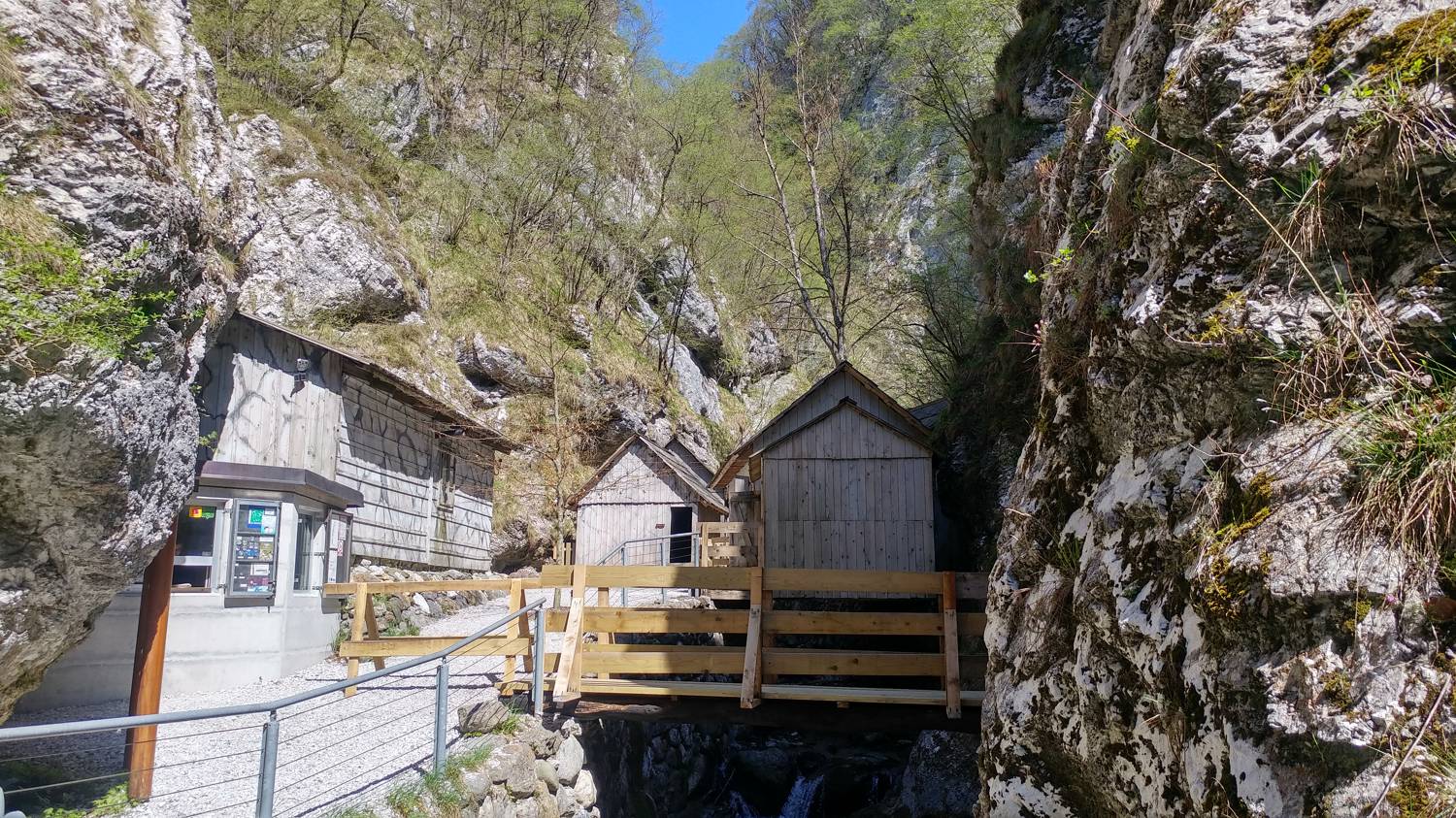
The Franja Hospital is located 601 meters above sea level, overlooking Idrija. It is a former military hospital consisting of numerous small cottages. It is also part of the Slovenian Mountain Trail. You can get a stamp at the end of the parking lot near the Pasice bar.
No check-ins.