



Spodnje Radvanje - Mariborska koča (General)
2 h 45 min




 Weather
 Nearest webcam
| Rating: | |
| Country: | Slovenia |
| Mountain range: | Pohorje and the rest of northeastern Slovenia |
| Trailhead: | Spodnje Radvanje (279 m) |
| Destination: | Mariborska koča (1086 m) |
| Trailhead latitude/longitude: | 46.5329 / 15.6288 |
| Destination latitude/longitude: | 46.5016 / 15.5553 |
| Difficulty: | Easy marked route  |
| Recommended equipment: | Hiking poles Hiking shoes Water Snack |
From Ljubljana, follow the motorway towards Styria. Leave the motorway at the exit Maribor - jug. Continue along the main road past Bohova and the shopping centres on your right and you will reach a traffic lighted junction. Turn left towards Pohorje and follow the road to the first fork where you turn right. A few ten metres further on, a narrower road will branch off to the left, and after ten metres we will reach the starting point, which is also marked with a Slovenian mountain trail sign. As there is no parking here, you can find parking nearby (at one of the taverns, at the Tuš shop, etc.).
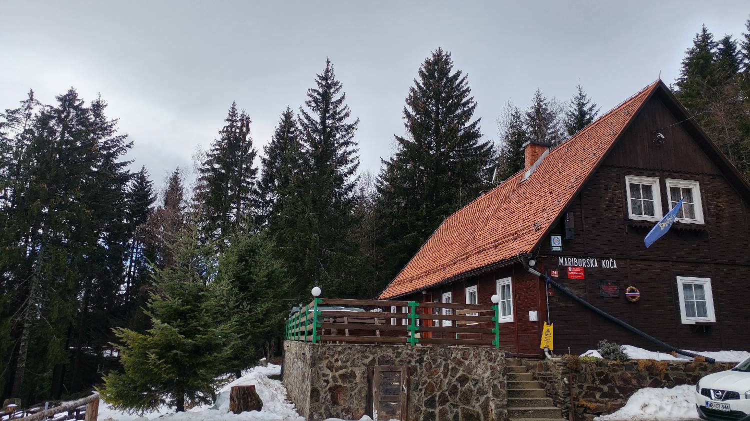
Trail description:We will first return on foot to the Slovenian Mountain Trail point, where we will also get our first stamp. Then continue straight along the road to where the signpost directs you. You will pass a few houses on the left and come to a fork in the trail where you take the right path. The path ascends a short grassy slope into the woods and immediately forks. Take the left fork, which is also indicated by a sign. The path continues through the forest and after about 15 minutes leads to a meadow. Go around the meadow on the right-hand side and then down to the tarmac road. For the next few minutes, continue along the ascending road until you reach a very well-marked turn-off to the right. Join this forest track and you will immediately find yourself at a crossroads again. Here again, keep to the left. There is a longer walk through the forest, with several forks, all of which are very well marked, so you can't get lost. The path climbs for most of the way, but only twice briefly dips in between. We will pass a fish farm, and after only a few minutes of walking we will join the ski slope of the Mariborsko Pohorje ski resort. We will climb up to the first station of the cable car and cross the slope. The trail continues along the edge of the second ski slope (during the ski slope's opening hours, you can choose a path in the forest, which runs right next to the ski slope) and leads up to the refreshment room at the ski slope. Here you cross the slope again and follow the other edge of the ski slope up to the Bellevue Hotel. Continue past the hotel to the end of the car park, where a signpost directs you to the left onto a path that initially runs right alongside the tarmac road, then turns right and leads you onto a gravel track in the woods. From here on, the path is laid and leads us along the dirt track for a few minutes until it forks off to the left, when we rejoin the narrow path, which leads us further and further towards the asphalt road and at one point even meets it. Here, however, it rises again into the forest and, after a shorter steeper climb, leads to a settlement of holiday cottages. We join a macadam, sloping road, which soon joins the asphalt road. Turn right and in a few minutes you will climb up to Mariborska hut.
Additional tips:No additional tips.
![[object Object] - [object Object] main photo](https://api.mountainsgeek.com/media/IMG_20200314_152910.jpg)
![[object Object] - [object Object] main photo](https://api.mountainsgeek.com/media/IMG_20200315_082116.jpg)
![[object Object] - [object Object] main photo](https://api.mountainsgeek.com/media/IMG_20200314_091101.jpg)


