



Xyloskalo cafe - Gigilos (Gingilos) (General)
3 h 0 min




 Weather
 Nearest webcam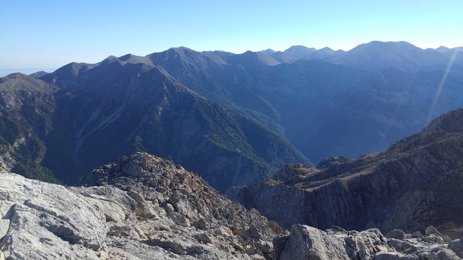
| Rating: | |
| Country: | Greece |
| Mountain range: | White Mountains |
| Trailhead: | Xyloskalo cafe (1250 m) |
| Destination: | Gigilos (Gingilos) (2080 m) |
| Trailhead latitude/longitude: | 35.3079 / 23.9176 |
| Destination latitude/longitude: | 35.2962 / 23.9186 |
| Difficulty: | Difficult marked route  |
| Recommended equipment: | Hiking shoes Water Snack |
The starting point for Gigilos is at the same place as the entry point for the well-known Samaria Gorge in the White Mountains (Lefka Ori). From Chania, head SE, keeping to the main road, passing the following settlements: Vamvakopoulo, Oasis, Fournes, the Botanical Park of Crete, Lakkoi, Omalos. When you reach the entry point for the Samaria Gorge, find a parking place about 200 metres in front of the Xyloskalo restaurant.
Trail description:From the car park, take the stairs on the right side of the Xyloskalo restaurant, where you can also see the sign for Gigilos. The trail immediately begins a winding climb on rough terrain, from where you can already see the summit. After the first climb, which takes about half an hour, the trail will lay down and head to the left. You will pass a small rise on your right, and the path will soon lead you to a natural "tunnel", under which you will continue on your way. Nature has played a lot of tricks on this part of the trail, giving us beautiful rock sculptures to admire. We continue along the path, which passes a large tree and a water spring, and immediately after it begins a steep, winding climb again. After a long climb, you will come to a ridge where there is a fork. Turn left and the path leads over a rocky area that will require some help with your hands to climb. Soon the path will be replaced by rubble again, and we will climb up to a large rocky outcrop, where the path will be laid again. We continue on the laid path for only a few hundred metres, and then the path will become more technically demanding, as it will lead us over large rocks that will need to be scaled. Just beyond this area, however, a summit with a magnificent view awaits.
Additional tips:No additional tips.


