



Zavetišče Mygero - Psiloritis (Ida) (General)
3 h 0 min




 Weather
 Nearest webcam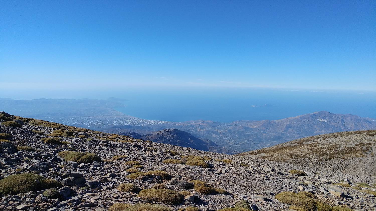
| Rating: | |
| Country: | Greece |
| Mountain range: | Ida |
| Trailhead: | Zavetišče Mygero (1550 m) |
| Destination: | Psiloritis (Ida) (2456 m) |
| Trailhead latitude/longitude: | 35.2417 / 24.778 |
| Destination latitude/longitude: | 35.2263 / 24.771 |
| Difficulty: | Easy marked route  |
| Recommended equipment: | Hiking shoes Water |
1. From Chania, we head towards Heraklion, bypassing another major town - Rethymno. In Panormos, head towards Perama/Panormo and continue along the road past Dafnedes, Kalivos and Livadia. From here we continue along the road for a long distance until the road leads to the Mygero refuge, in front of which there is a large car park where we park. 2. From Heraklion we head towards Chania. In Panormos, head towards Perama/Panormo and follow the road past the following settlements: Dafnedes, Kalivos and Livadia. From here we continue along the road for a considerable distance until the road leads to the Mygero refuge, in front of which there is a large car park where we park.
Trail description:From the car park, turn onto the narrow cobbled lane on the opposite side of the road. The path initially leads you along a grassy foothill, from which you have a view of the starting point and the summit at all times. After about 45 minutes of walking, the track turns slightly to the left and blocks our view towards the starting point. After a short time, the track turns right again and becomes steeper. The grassy area is replaced by rubble, which is followed all the way up to the ridge. Here the trail flattens out, and we are treated to magnificent views. We continue straight along the path, with only a small climb in the last part of the way, and we will reach our destination.
Additional tips:No additional tips.


