Grintovec (General)
2558 m




 Weather
 Nearest webcam
| Rating: | |
| Destination type: | Peak |
| Country: | Slovenia |
| Mountain range: | Kamnik-Savinja Alps |
| Latitude/Longitude: | 46.3566 / 14.5358 |
| Number of trails: | 3 (see the trails here) |
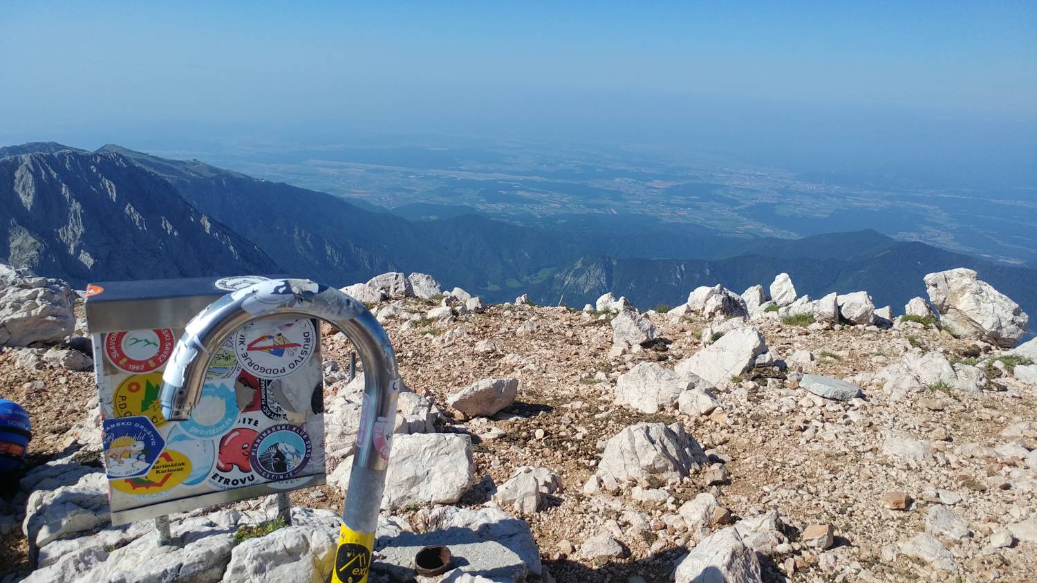
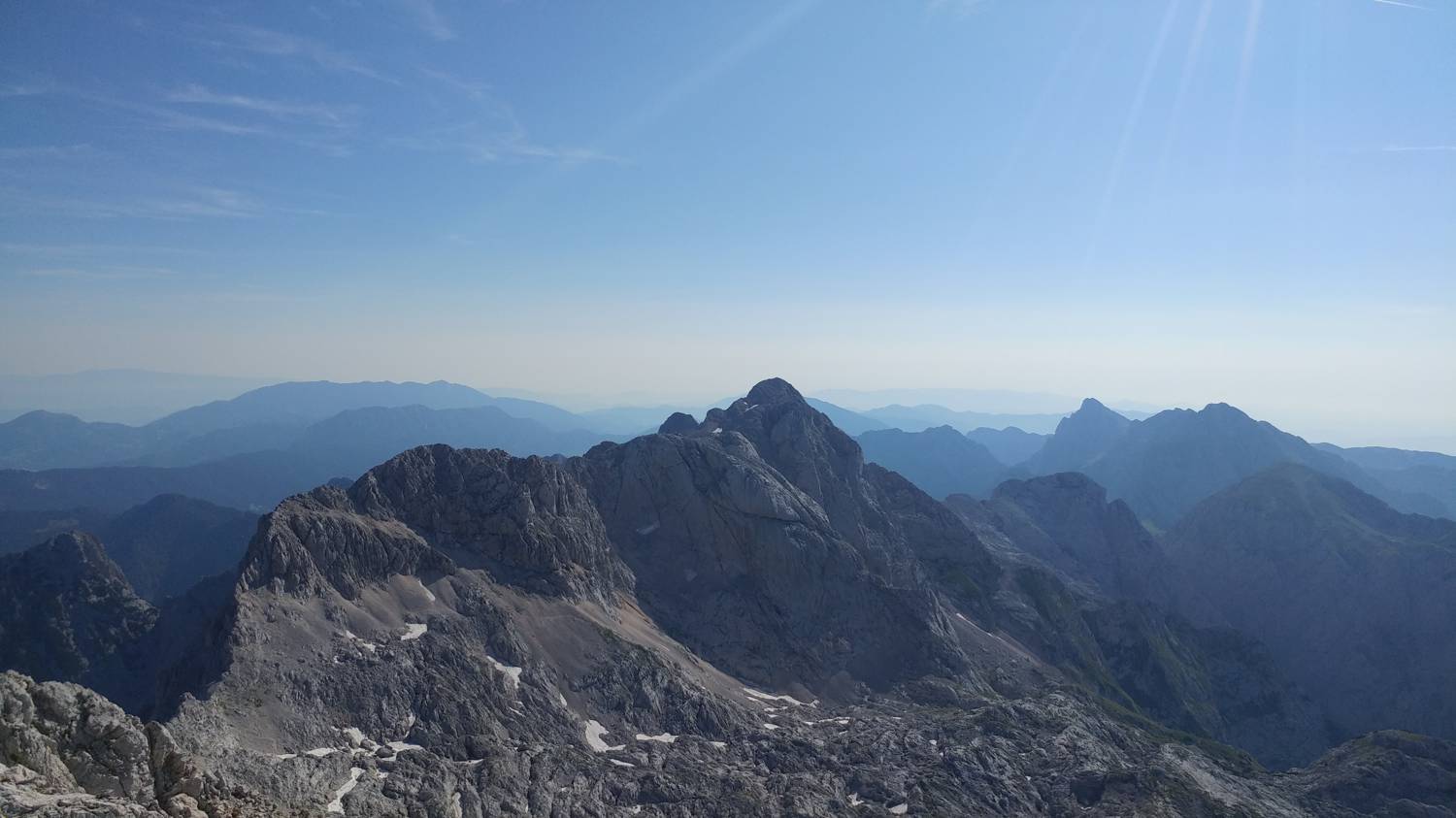
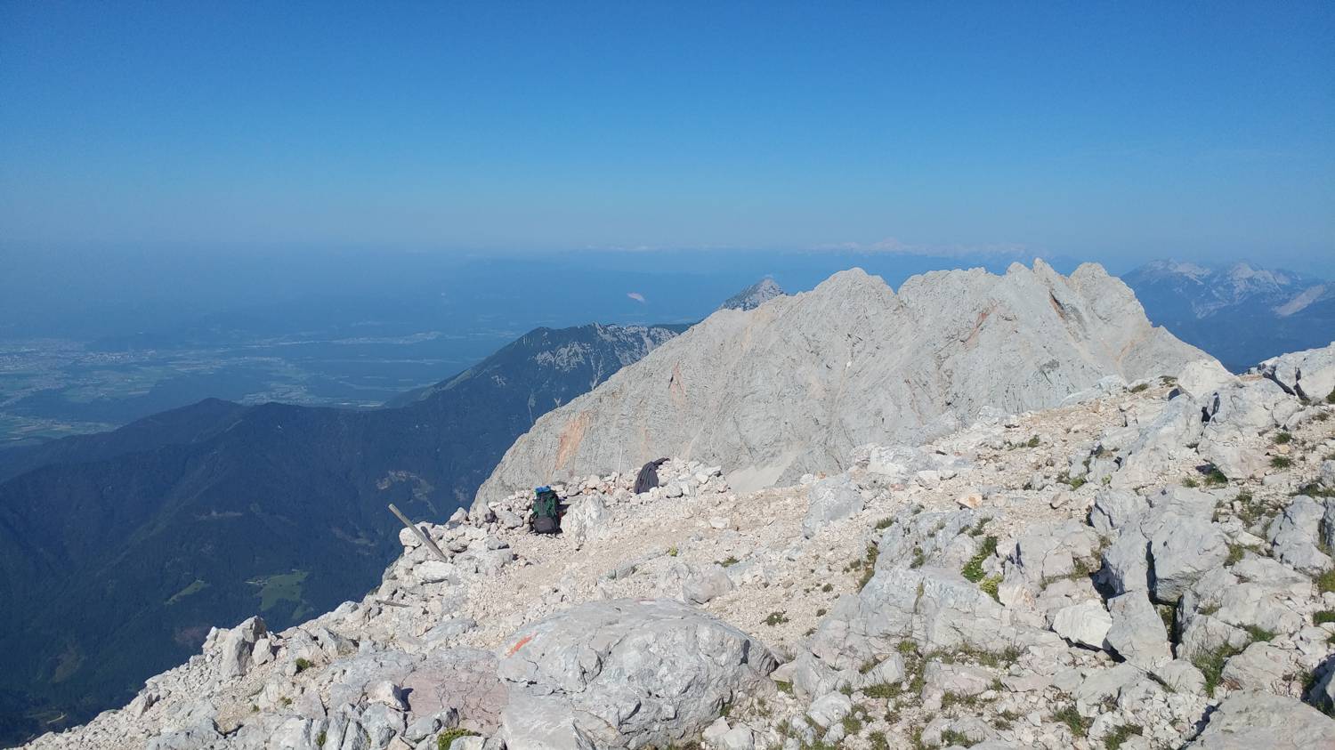
At 2,558 meters above sea level, Grintovec is considered the highest peak in the Kamnik-Savinja Alps. It rises above Ravenska Kočna, the Kamniška Bistrica Valley, and the Suho Dol Valley. It can be recognized by its distinctive pointed or pyramidal shape. The summit is small and rocky, and there is a guestbook with a stamp from the Slovenian Mountain Trails Association. Thanks to the exceptional view that opens up from the summit, Grintovec is considered one of the most scenic peaks in the Kamnik-Savinja Alps along the Slovenian Mountain Trail. Grintovec offers the most beautiful views toward Jezerska Kočna and Kokrska Kočna, and you can also see the Ljubljana Basin, the Jezerska Valley, and the other Grintovec peaks. Despite its high elevation, Grintovec is easily accessible, especially from the south. Precisely for this reason, it is considered the first peak to be climbed in the Kamnik-Savinja Alps and is also one of the most visited peaks in this range. From the south, the trail passes by the Cojz Hut on the Kokrsko Saddle. This trail is the only easy route to Grintovec, but it is also the longest, as it involves a climb of nearly 2,000 meters in elevation. There are also numerous other trails leading to Grintovec, all of which are challenging. Among these trails, two via ferratas stand out, both starting in Ravenska Kočna. These via ferratas are technically very demanding, as you must use your hands, pitons, and safety anchors almost the entire time while climbing to the summit.
No check-ins.