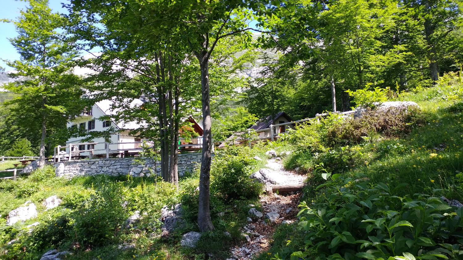
Tolminske Ravne - Koča na Planini Razor (General)
po mulatjeri/položna pot
- Hiking time1 h 40 min
- Difficulty: Easy marked route
- Destination:1315 m
- Elevation difference+391 m
Getting to the trailhead:
From Tolmin, continue in the direction of Žabče or Zadlaze (the turn-off is on the left bank of the Tolmine). In Žabče, at a small crossroads, continue right in the direction of Zadlaze. In the village of Zadlaz-Žabče the road descends and crosses the river Zadlaščica over a bridge. The road starts climbing steeply again on a very narrow asphalted road, all the way to a marked parking area in Tolminske Ravne. Park there.
Trail description:
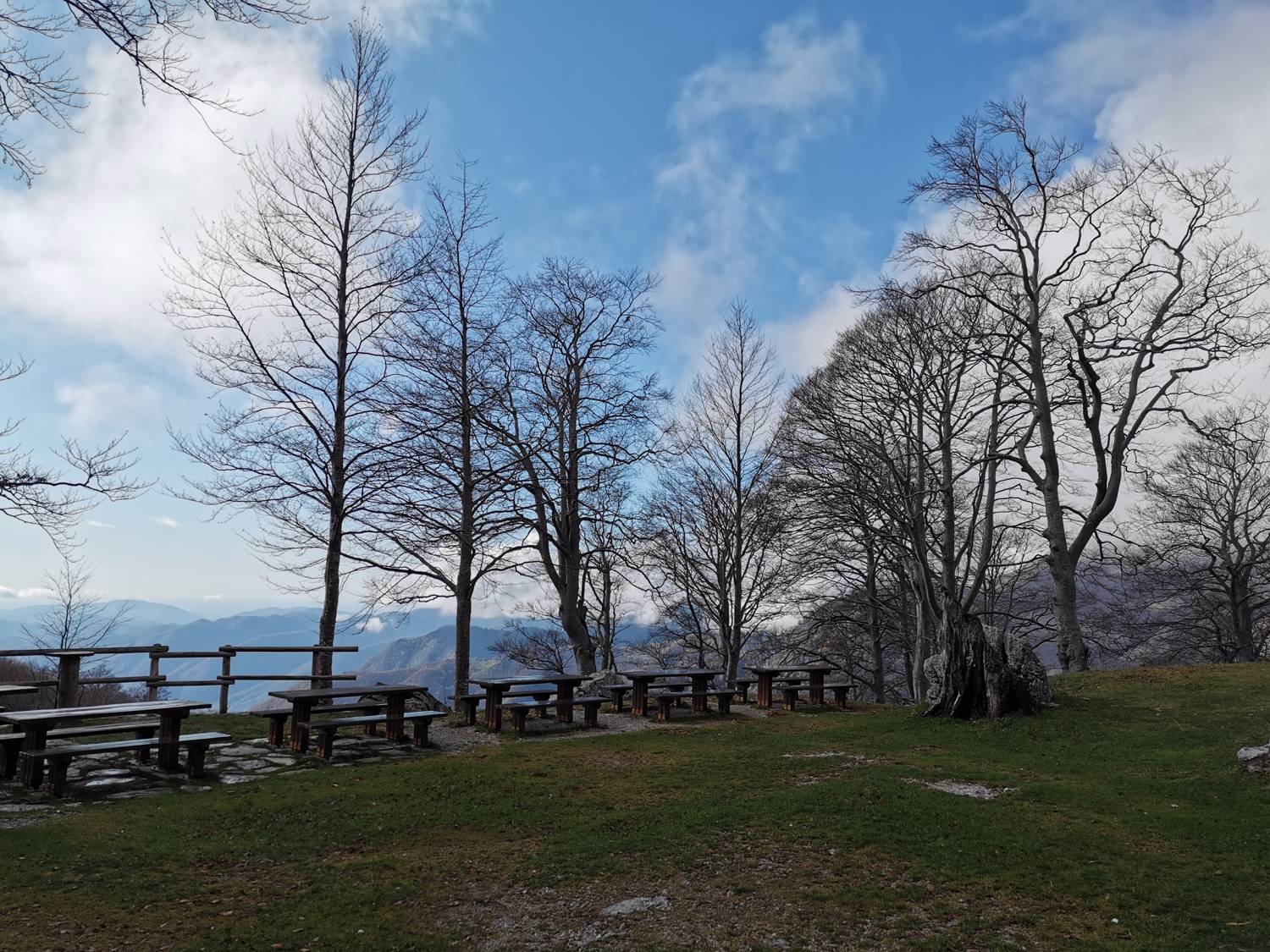
From the car park, start walking along the track in the direction of the Huts on Mt Razor and the mountain on Kal. The path leads us past the house, across the meadow, where we cross a pasture fence. At the crossroads, continue along the bottom right track (to the left, the mountain on Kal). Continue along the path, which branches off again behind the concrete trough. Continue on the lower, flatter path, which continues along a wide track. The path then turns into a mulatier (mountain freight trail). Follow the well-marked path and climb slowly to moderately. The path becomes steeper but not difficult. The trail then leads out of the forest to Mt Razor. There is a short climb past the cheese factory and soon you reach the huts on Mt Razor.
Additional tips:
No additional tips.
Related trails
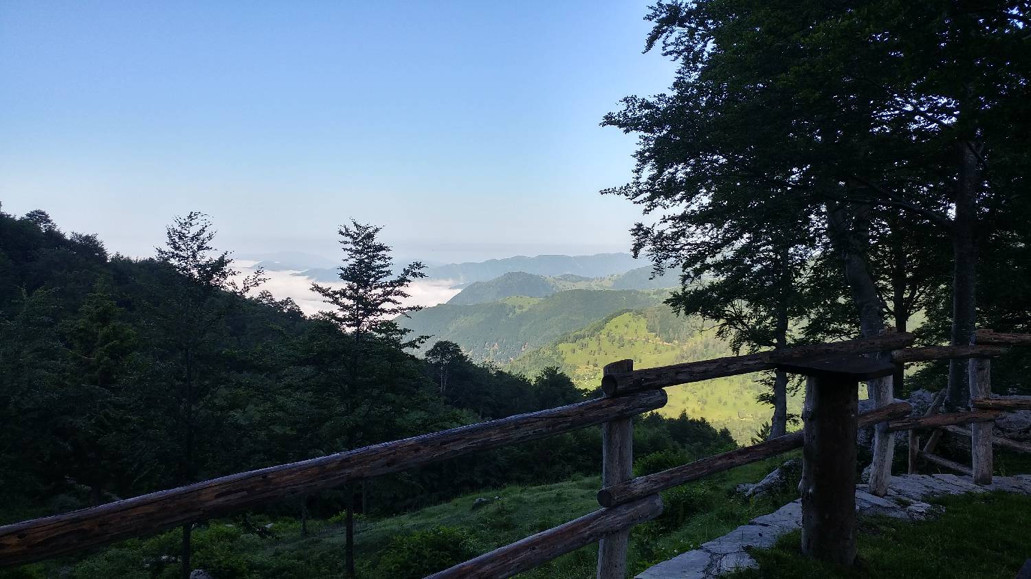
Planina Kuk (Podkuk) - Koča na Planini Razor
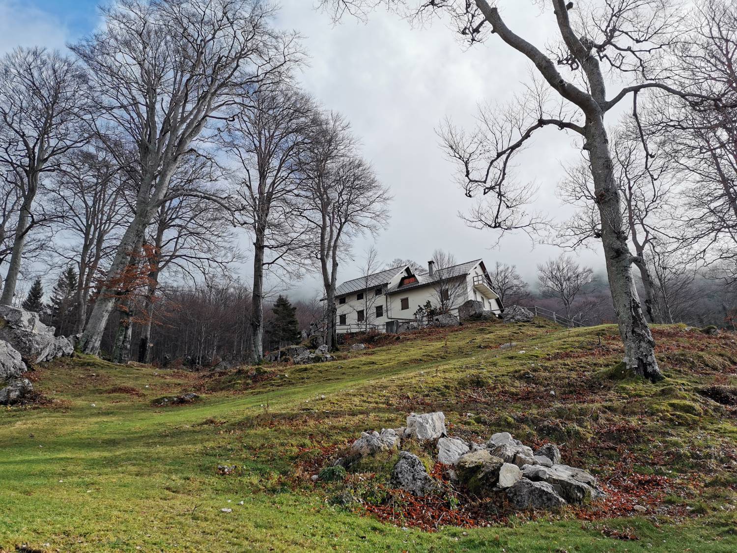
Tolminske Ravne - Koča na Planini Razor
Strma pot