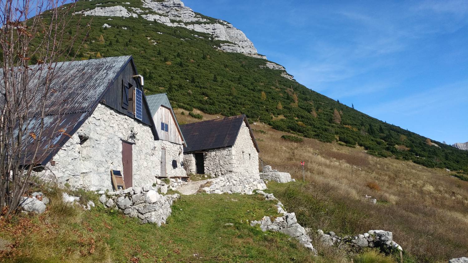
Tolminske Ravne - Kal Planina (General)
- Hiking time1 h 30 min
- Difficulty: Easy marked route
- Destination:1490 m
- Elevation difference+566 m
Getting to the trailhead:
Coming from Nova Gorica, drive all the way to and through Tolmin, in the direction of Most na Soči. After crossing the bridge over the Tolminka River, the road turns sharp right. After about 200 m, turn left towards the village of Žabče. Somewhere in the middle of the village, the road forks, where you keep to the upper, right-hand path in the direction of Zadlaz. Continue straight ahead (about 15 - 20 minutes) on a very winding, narrow road. In the meantime, cross the river Zadlaščica. Our destination is Tolminske ravne, where there is also a marked parking area. Park here and continue on foot.
Trail description:
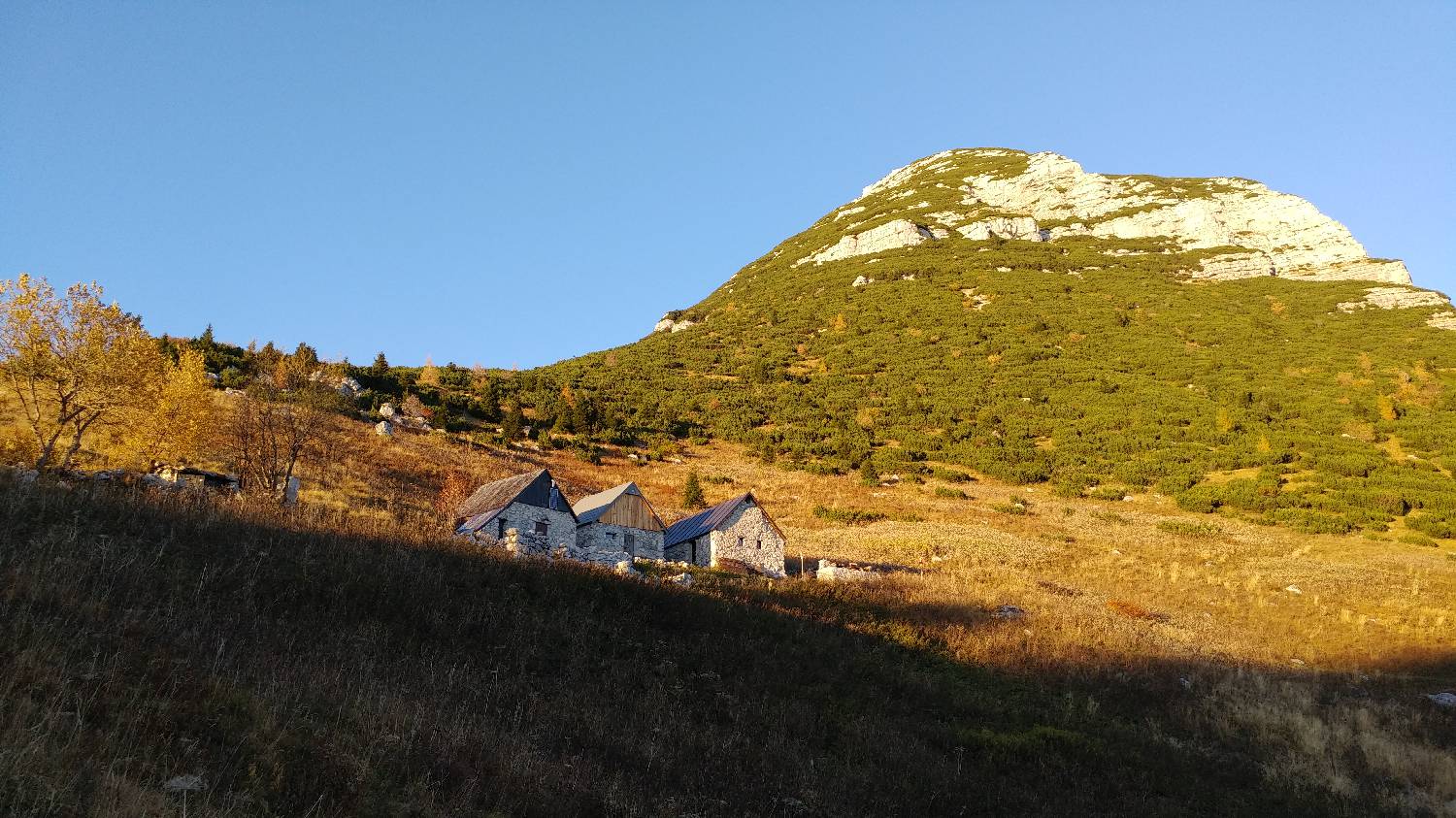
The path takes you past a cute, narrow and tall stone house, along a fenced road. After crossing a barrier, the path soon turns into a grassy track. Continue along it until you reach a crossroads. Keep to the left path (signpost for Planina Kal). From here, continue along the ascending forest path, keeping to the signposts for Planina Kal. The trail is also very well marked, so there is no fear of missing it. Just before Planina Kal, the forest ends and you reach a large meadow. Soon you will see the three houses that mark Planina Kal. A short climb and we are at our destination.
Additional tips:
No additional tips.
Related trails
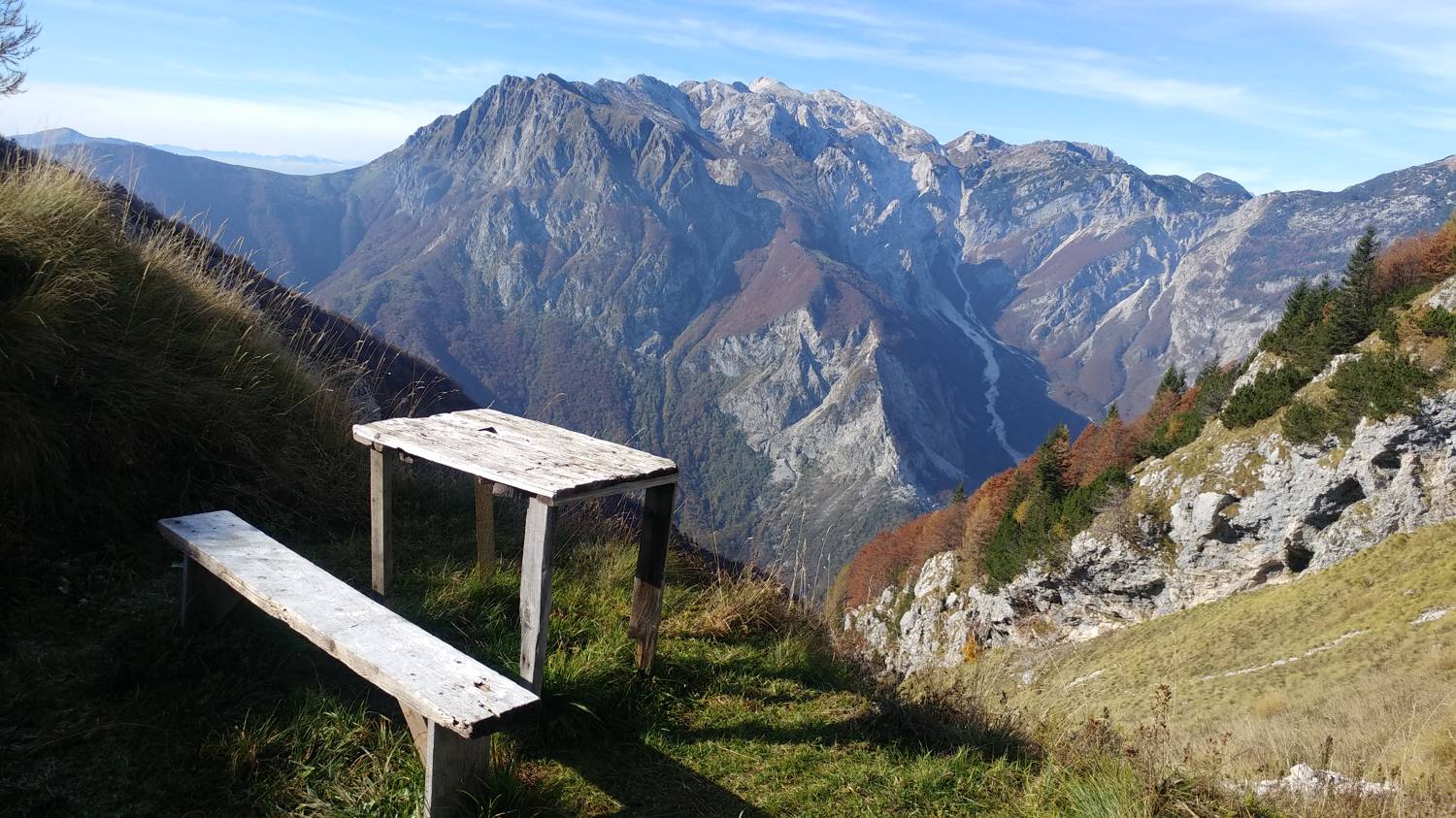
Čadrg - Kal Planina
Grebenska pot
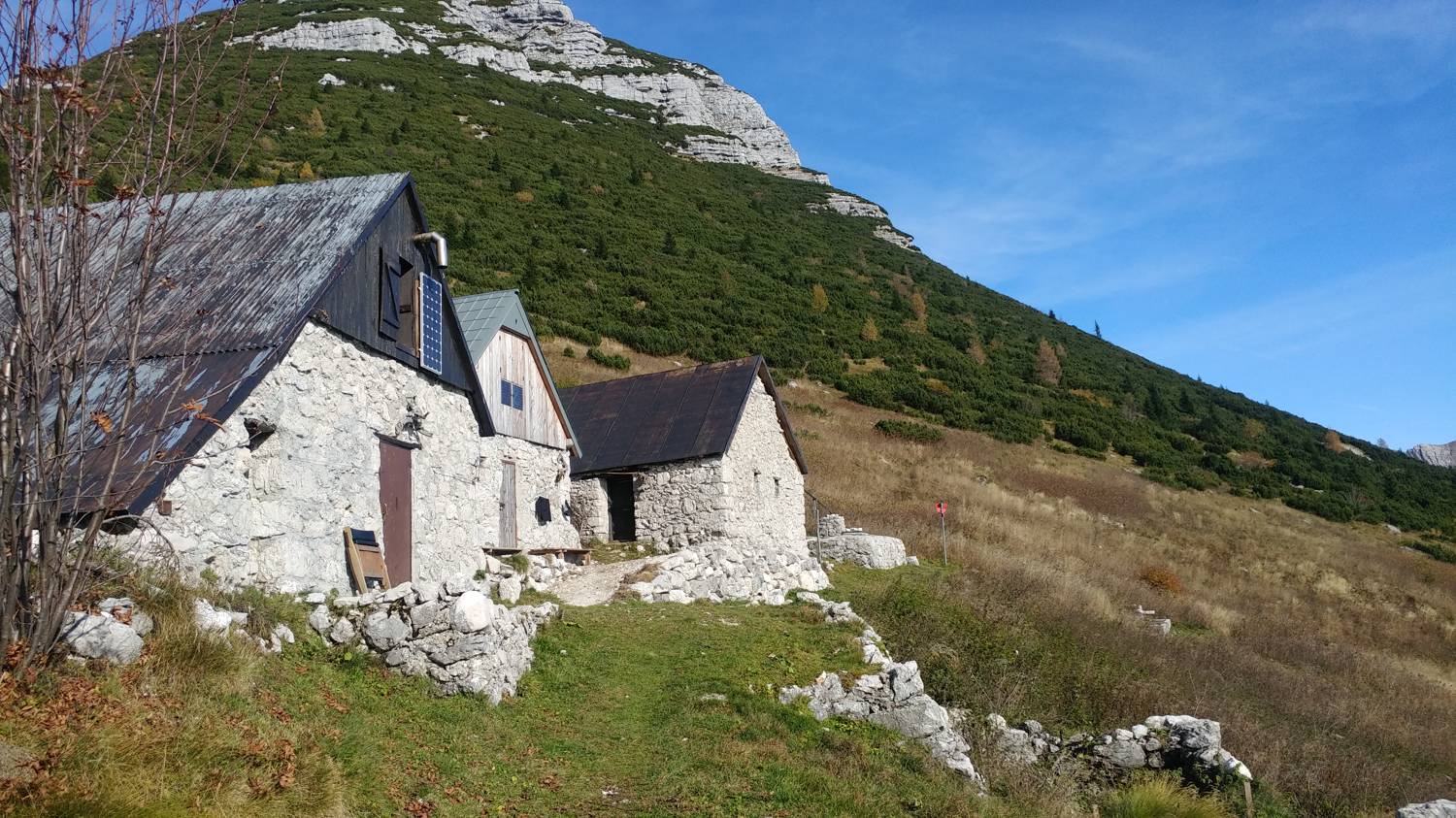
Čadrg - Kal Planina