



Todorov do - Prutaš (General)
- Hiking time1 h 30 min
- Difficulty: Difficult marked route
- Destination:2393 m
- Elevation difference+563 m
Getting to the trailhead:
From Žabljak, take the panoramic road in the direction of Trse to the marked starting point of Todorov do (approx. 24 km).
Trail description:
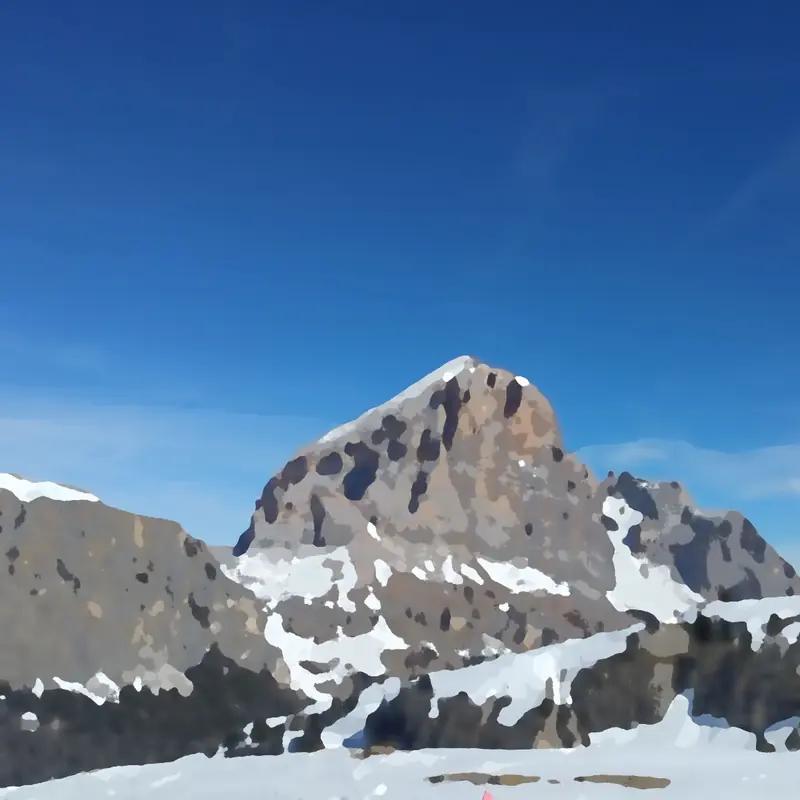
From the starting point, head in the direction of Prutas. The trail leads past a lagoon and a large trough. It then begins to climb steeply towards the saddle between Prutash and Gruda. A few times cross a scree slope. After about an hour's walk, before the saddle, turn right and follow the rocky ridge steeply upwards. At higher altitudes, bear left to a short but very steep exposed ridge. The path passes onto a grassy ridge where, after a few minutes' walk, it leads to a crossroads. Continue right in the direction of Prutasa (left Škrčka jezera). After a few minutes you reach a very spacious grassy summit.
Additional tips:
No additional tips.

