



Ročinj - Čičer (General)
- Hiking time1 h 30 min
- Difficulty: Easy marked route
- Destination:726 m
- Elevation difference+601 m
Getting to the trailhead:
From Tolmin, head toward Nova Gorica. Just past the end of the village of Ročinj, you’ll see a cemetery on the left, with a parking lot in front of it—that’s where you’ll park.
Trail description:
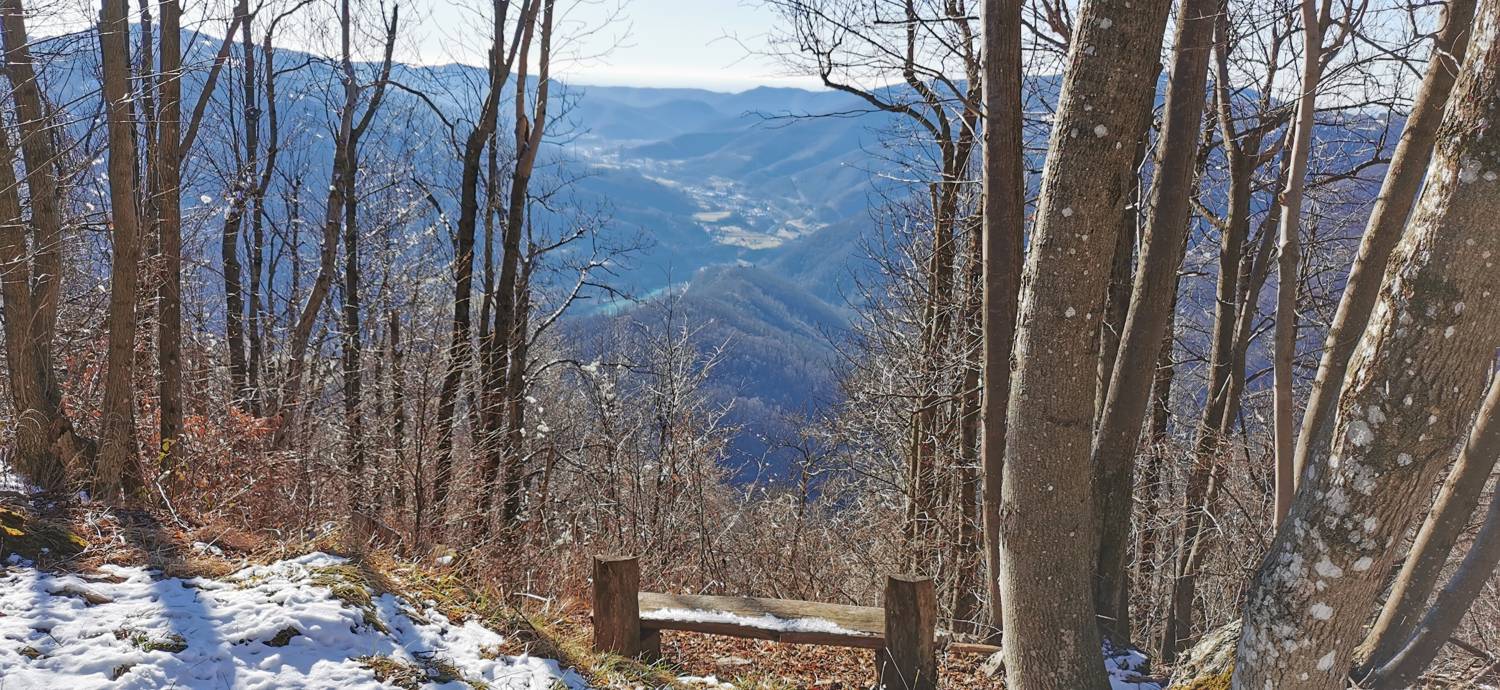
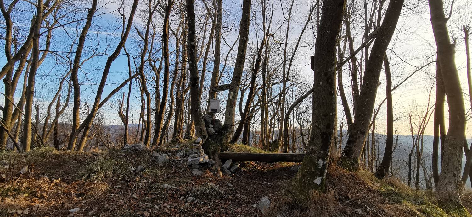
We walk back along the road, but only as far as the fork where the road branches off to the left (toward Kambreško), where we turn. We climb through the village and, in front of the church, turn right onto a grassy cart track that eventually becomes a trail leading into the forest. A long, gradual climb through the forest to the summit follows, during which we cross one paved road and four gravel roads. The trail is marked with R signs.
Additional tips:
No additional tips.
Related trails

Srednje - Čičer
1 h 5 min
Avško - Čičer
0 h 40 min
No comments yet.

