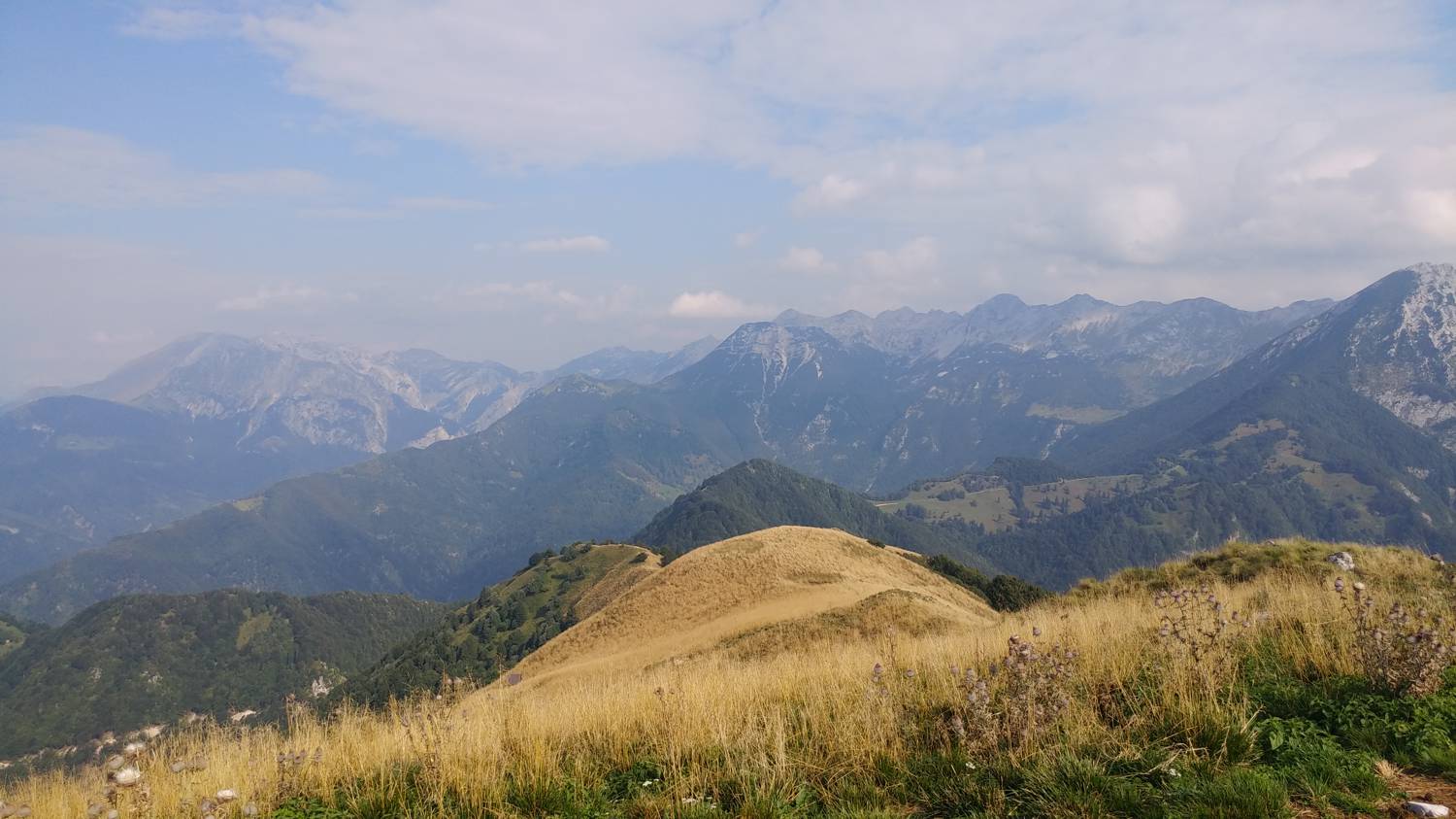
Podmelec - Kobilja glava (General)
Čez Jalovnik
- Hiking time3 h 30 min
- Difficulty: Easy unmarked route
- Destination:1475 m
- Elevation difference+1165 m
Getting to the trailhead:
From Tolmin, we head toward Most na Soči. Shortly after crossing the Tolmin Bridge, the road will fork; we’ll turn left toward Poljubinj. We’ll continue along the road, past Poljubinj and Ljubinj, and on toward the village of Podmelec. The parking lot along the road is located just before the village; you’ll recognize it by the sign pointing to the Sopota Waterfall. We’ll park here.
Trail description:
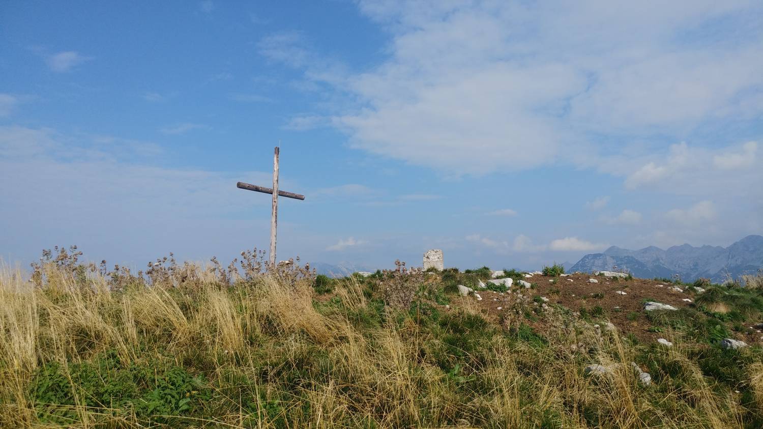
We continue on foot along the road leading into the village. In the village, we keep going all the way to the recycling center, past which there is a turnoff to the left—we turn there. A steep climb follows, leading into the forest after a few minutes’ walk. We stick to the main path, which eventually becomes a gravel road, and continue the ascent. The gravel road eventually turns into a narrow path, which leads us to a large house. We find the next part of the trail on the left side of the house. The path soon leads to an asphalt road; join it and turn right. Continue along the road for a while, then you’ll notice a dirt track branching off to the left—take that. The dirt road will lead you to a meadow with a weekend cottage. Look for the trail behind the cottage; it immediately leads into the forest. You’ll walk along this trail for only a short while before rejoining the road, but only briefly. When the road leads us out of the forest, you’ll notice a trail on the right; take this trail and follow it uphill to Sel nad Podmelcem. We continue across the road onto a gravel cart track, which is also indicated by a sign for Jalovnik. We follow the cart track for a few minutes, but it soon splits. Take the left path, which soon begins to climb moderately. We stay on the dirt road only until a bend, where we’ll see a large signpost for Jalovnik, which directs us left onto a narrow forest trail (to the right, we continue along the dirt road toward Planina Razor). A longer walk through the forest follows, along a trail that climbs steeply the entire way. Most of the trail runs through the forest; only toward the end does the forest give way to grassy areas, and from here you can already see the summit of Jalovnik. After a short walk, we reach the summit, from where we continue toward Kobilja Glava, which is already visible in the distance. First, we descend slightly, then make one final ascent, and we’ll arrive at our destination.
Additional tips:
No additional tips.
Related trails
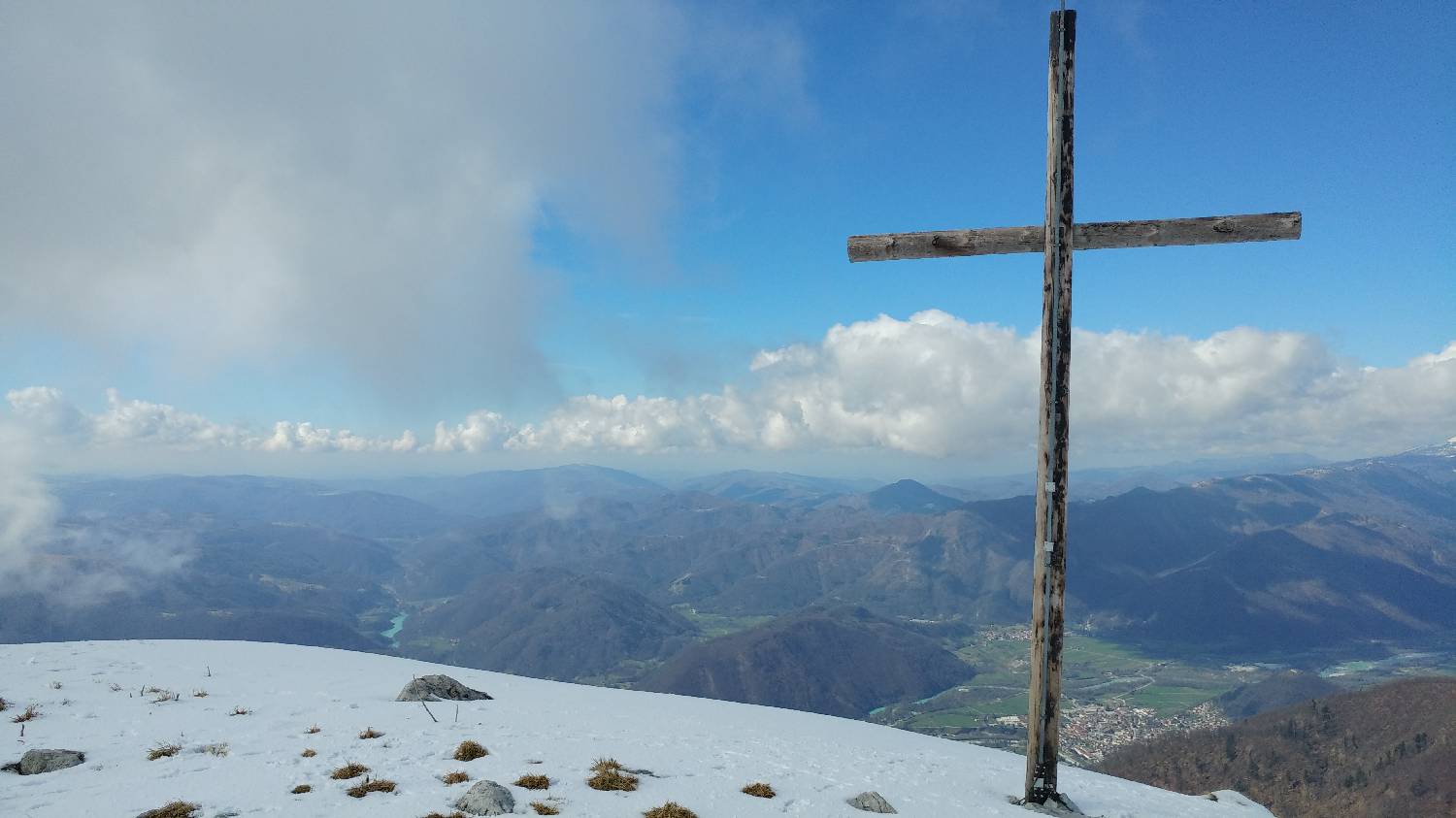
Koča na planini Stador - Kobilja glava
Mimo Chalet AstraMONTANA
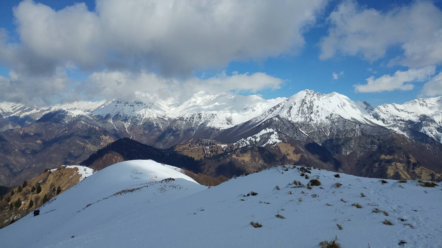
Poljubinske ravne - Kobilja glava