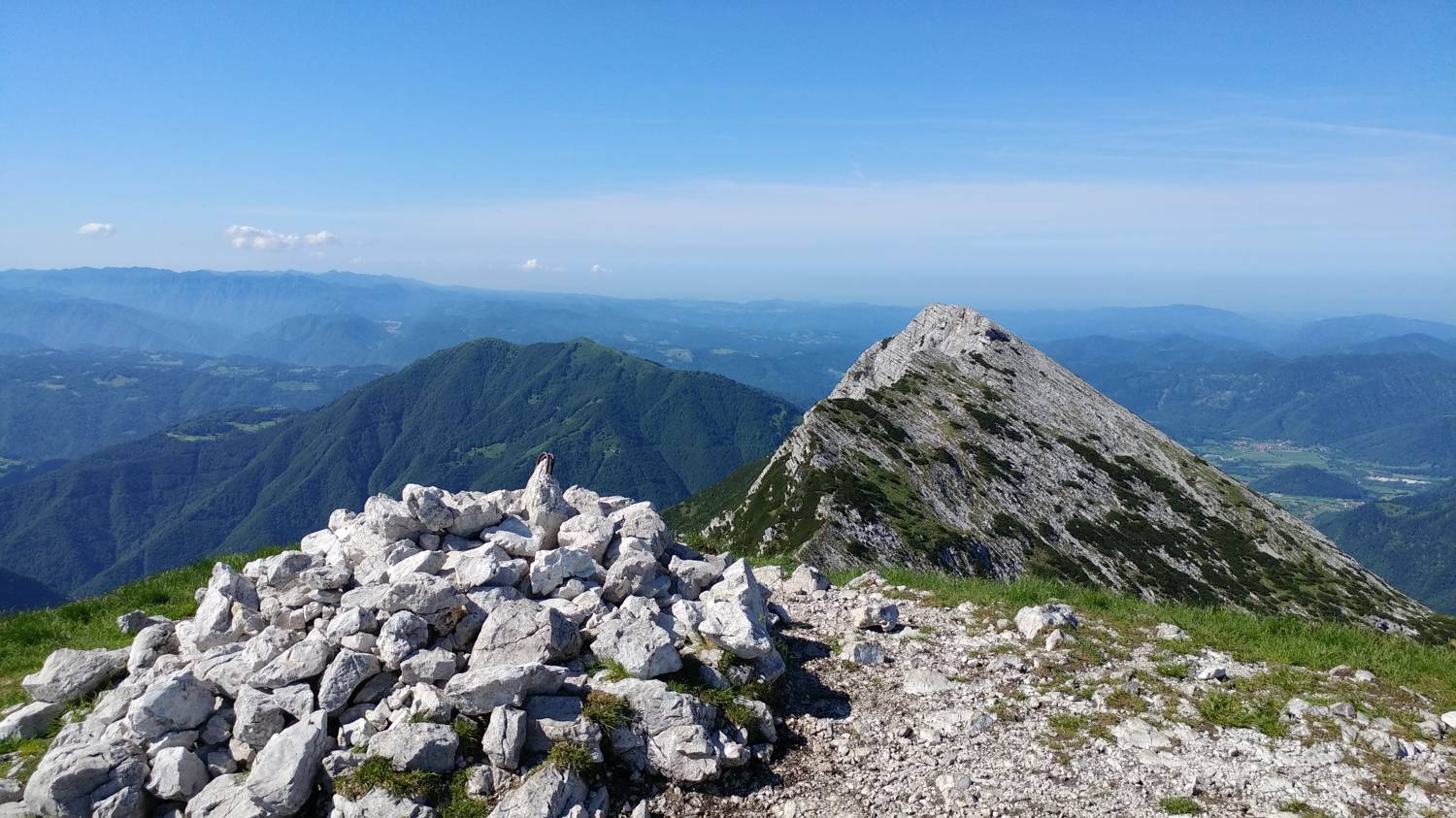
Planina Kuk (Podkuk) - Vogel (General)
Čez Globoko
- Hiking time3 h 30 min
- Difficulty: Easy marked route
- Destination:1922 m
- Elevation difference+806 m
Getting to the trailhead:
From Tolmin, drive towards the village of Poljubin and on to Ljubinje. In the village of Ljubinj, shortly after the Church of St. Michael, turn left onto a narrow, winding, ascending road that will take you past the Huts on Stador Mountain and Lom Mountain. Continue driving along the main road until you reach the next mountain, which will be our starting point - Planina Kuk. Park just in front of the mountain in the car park located by the road.
Trail description:
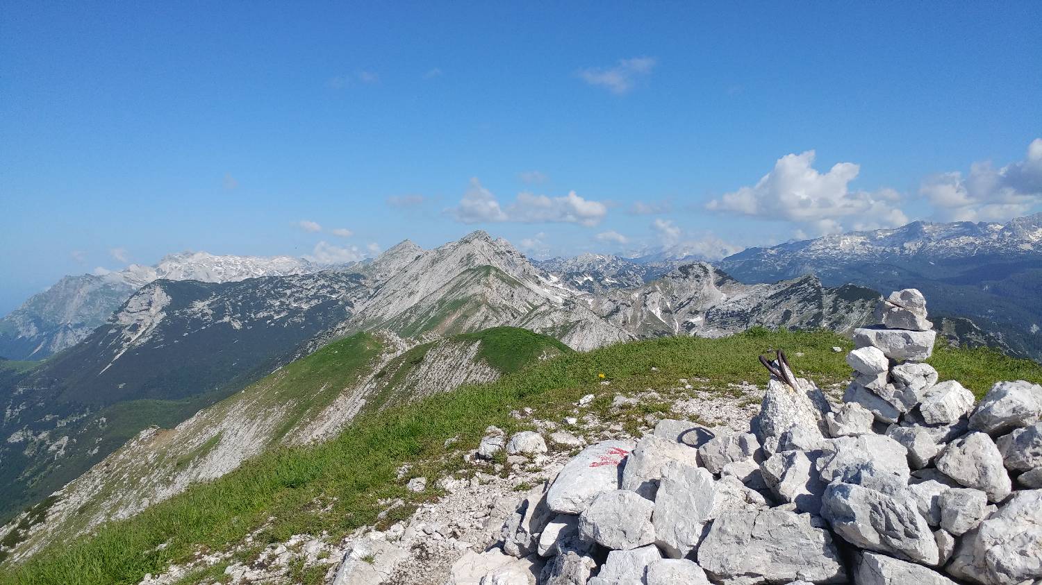
Continue on foot through the fence, next to which there is a signpost for Planini Razor and Podkuk. Soon, Planina Kuk and a beautiful view of our summit will open up in front of us. Continue along the road, which begins to climb behind the huts. The road will fork at a sharp bend - keep to the left here, the main road. It soon straightens out and turns into the forest. Continue through the forest for a long time on level ground until you reach a signpost pointing right into the forest - towards the cottage on Planina Razor. When you get to the hut, look to the right for the hut. Here the path turns into a small wood, and soon you will emerge into a larger meadow. At the next crossroads in the middle of the meadow, turn right and follow the path to the next crossroads in another small wood. In the copse, the path to Globoke forks off to the left, where you turn. The path soon turns out of the copse and begins a winding climb on grassy terrain. During the ascent, we are constantly accompanied by magnificent views towards the hut and the nearby high mountains. Just below the summit of Globoko there is a large military bunker, which we pass on the right and we will be standing on the Globoko saddle. From here, on the other side of the saddle, turn right towards Vogel. The path descends steeply at first, and is also protected by a stile in this area, but continues along a gentle path covered with rubble. After about 5 minutes, you will see an unmarked fork where you turn right onto a very steep track which leads up to the top of the ridge. From here the path flattens out a bit again, and we follow it to the left and follow it to the top. In the meantime, we will climb to the top of the krnic peak, from where we continue along the ridge to our destination.
Additional tips:
No additional tips.
Related trails
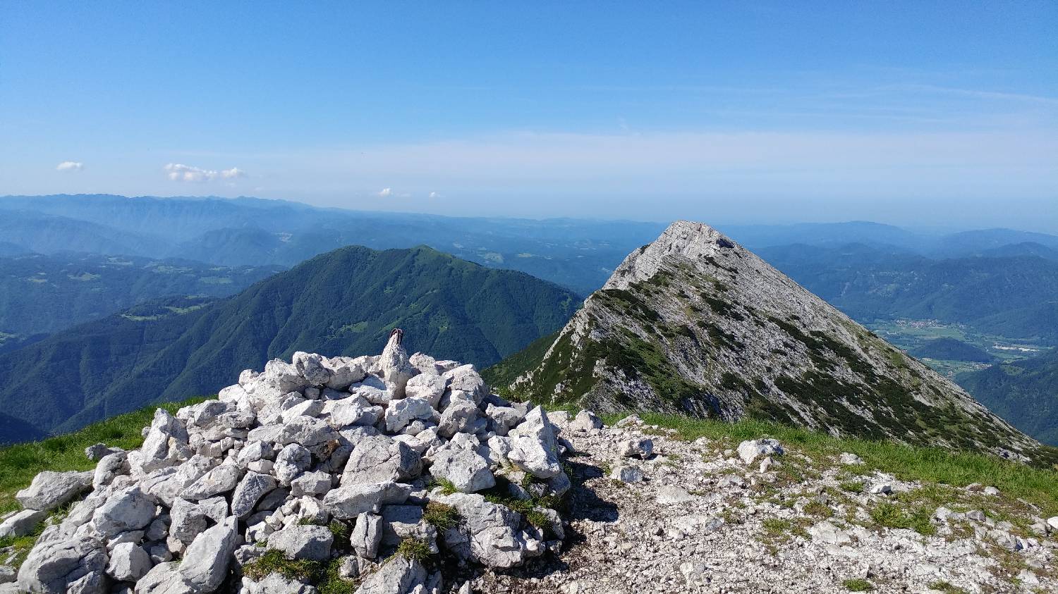
Planina Kuk (Podkuk) - Vogel
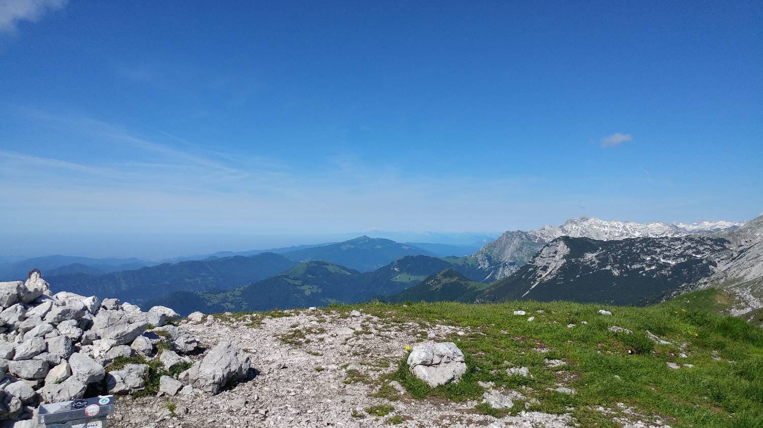
Planina Kuk (Podkuk) - Vogel
Mimo Koče na Planini Razor