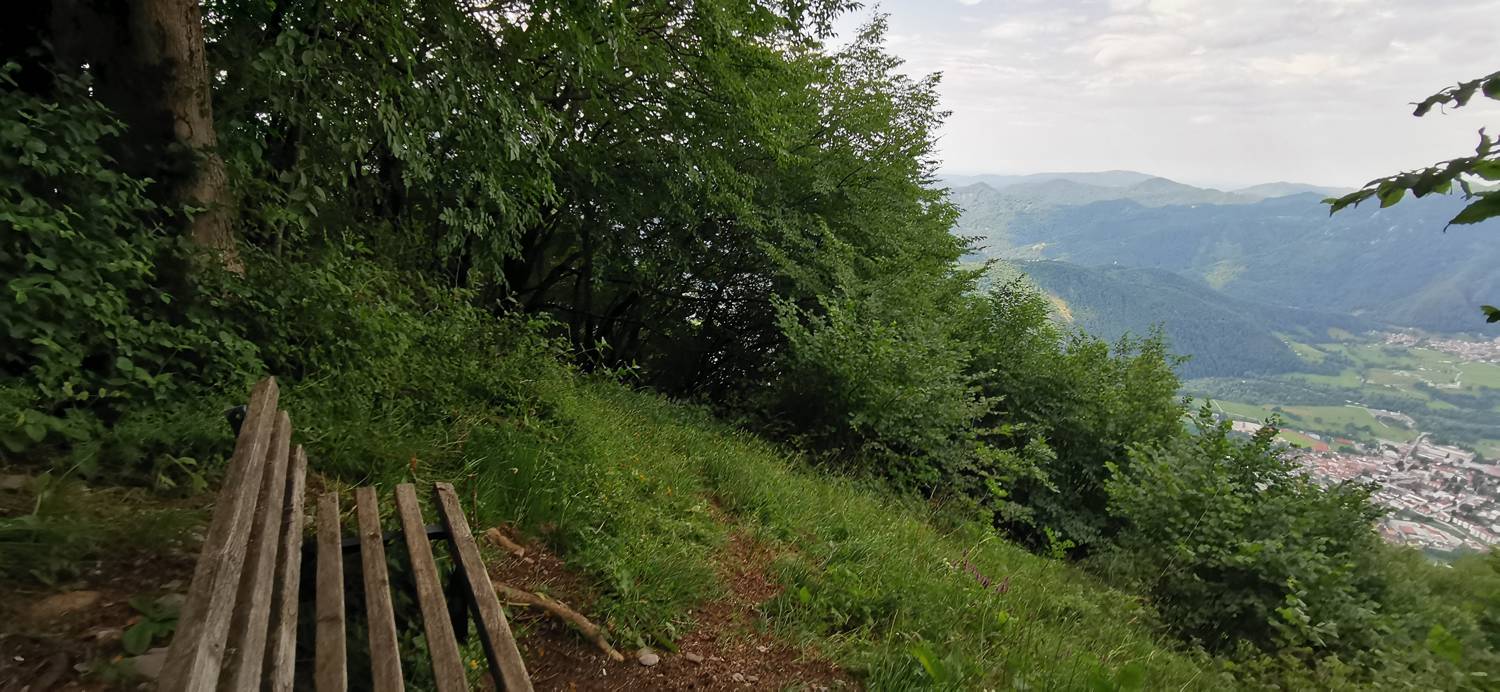
Planina Lom - Tolminski Triglav (Poloje) (General)
- Hiking time0 h 30 min
- Difficulty: Easy unmarked route
- Destination:981 m
- Elevation difference-109 m
Getting to the trailhead:
From Tolmin, we drive toward the village of Poljubin and on toward Ljubinj. In the village of Ljubinj, just past the Church of St. Michael, turn left onto a narrow, winding, uphill road that will take you past the Stador Mountain Hut to the Lom Mountain Pasture.
Trail description:
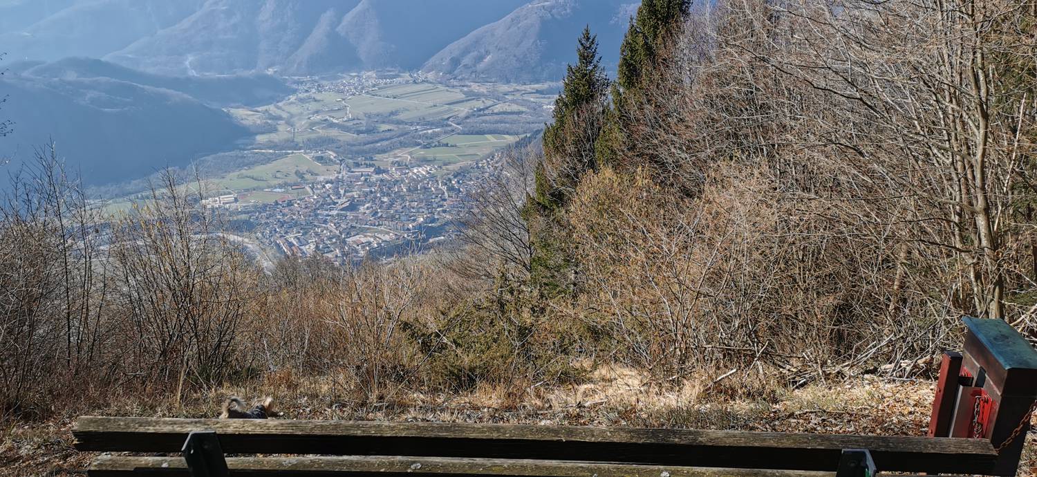
From the parking lot, we head toward the mountain pasture. At the pasture, we turn left at the first hut on the left side of the road (signpost for Tolmin). The cart track gradually narrows into a narrow path and leads into the forest. The hike continues through the forest along a path with alternating flat sections, descents, and ascents. Along the way, we cross a small mountain pasture and pass a bench at a lookout point. Continue along the trail until you reach a fork, where a sign pointing to the bench directs you to the right. Just one more minute’s walk, and you’ll reach your destination.
Additional tips:
No additional tips.
Related trails
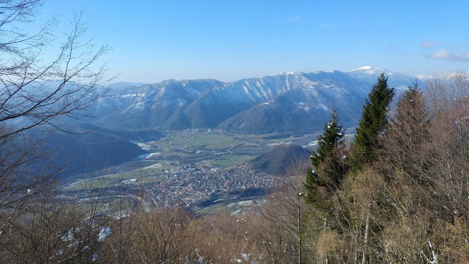
Parkirišče nad Žabčami - Tolminski Triglav (Poloje)
Čez Žabijski vrh
Parkirišče nad Žabčami - Tolminski Triglav (Poloje)