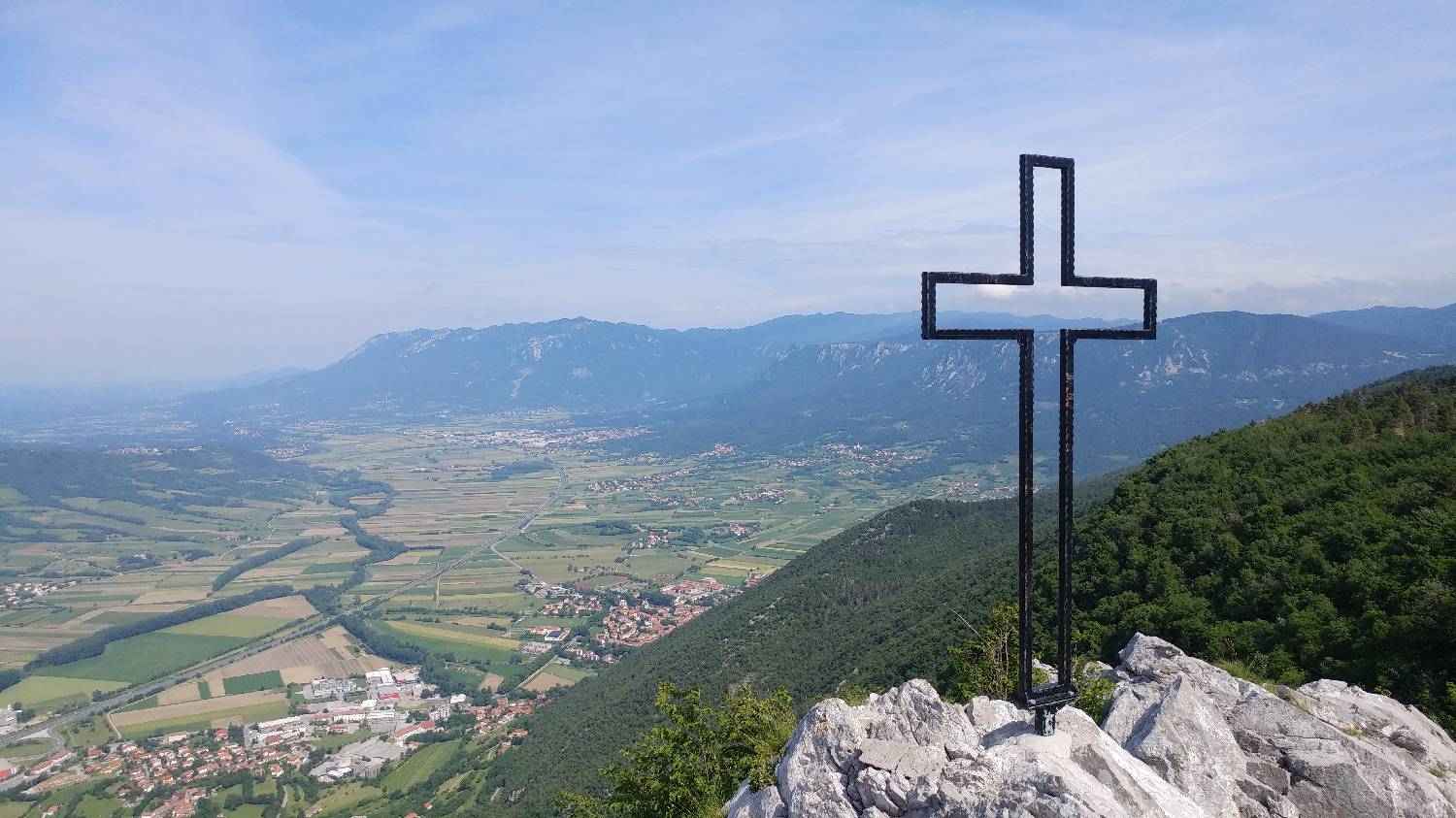
Gradišče pri Vipavi - Gradiška tura (General)
Peš pot
- Hiking time1 h 15 min
- Difficulty: Difficult marked route
- Destination:793 m
- Elevation difference+543 m
Getting to the trailhead:
From the highway, take the exit for Vipava. Continue along the road leading to Vipava, then on toward Gradišče. When you arrive in Gradišče, drive straight ahead at first; you’ll soon come to a fork in the road—turn left here (sign for the campground). Continue up the narrow road for a while, following the signs for the campground. When you arrive in front of the campground, you’ll see a large parking lot. Park there.
Trail description:
On foot, we turn toward the forest onto a narrow forest trail, which is also indicated by a signpost for the 75-minute hike. The trail begins to climb immediately and, after about 5 minutes, leads us to a major fork, where we turn left. We’ll reach a scree slope, which we cross, and then continue along the ascending path to a fork marked by an inscription on the rock: “hiking trail” – to the right. Here, turn right onto a path that is initially gentle and rocky; in some sections, it runs along a cliff edge and is secured with a rope in those spots. When the trail enters the forest, it begins to climb more steeply and soon leads us to a fork where the Furlan Trail to Gradiška Tura joins us from the left. From here, continue along the forest trail, which climbs steeply all the way to the summit, which is still about 20 minutes away.
Additional tips:
No additional tips.
Related trails