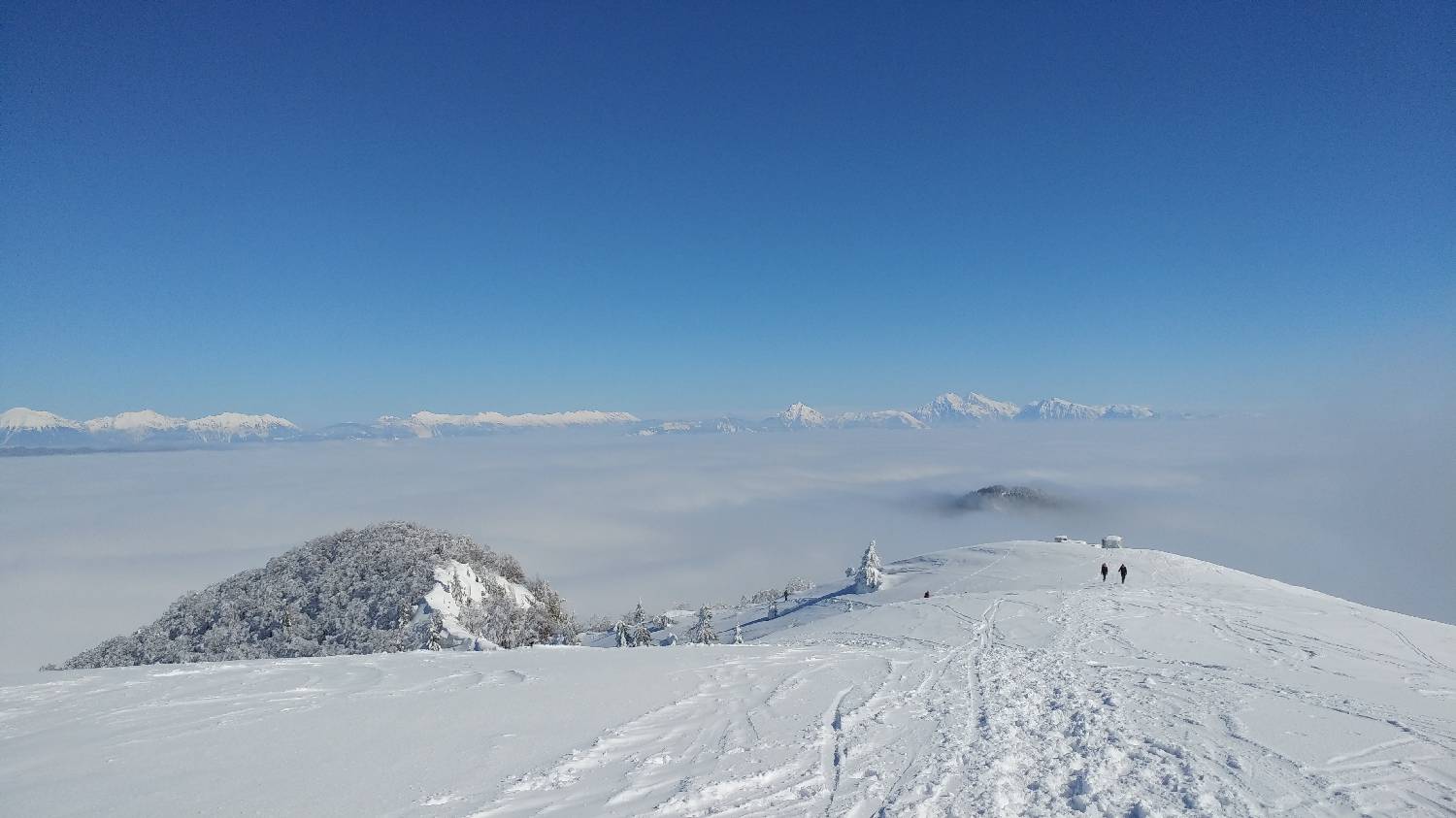
Črni Kal - Blegoš (General)
Po Grebenu
- Hiking time1 h 10 min
- Difficulty: Easy marked route
- Destination:1562 m
- Elevation difference+459 m
Getting to the trailhead:
If you start from Ljubljana, take the Celovška road, past Medvode, all the way to Škofja Loka. Here, at a major junction, turn left towards Cerkno and Žire. Continue along the road to the next crossroads, where you turn right towards Poljany nad Škofjo Loko. From here on, the road leads towards Gorenjska Zetina (sign for Javorje). When you arrive in the village, continue driving through it and the road becomes macadam. You will drive along this road for a few minutes until it leads to a large crossroads with a large parking area. Park here.
Trail description:
Continue on foot along the road you came in on. But only a few metres, when a large sign for Blegoš directs us right onto a track. Here the path soon meets another path, where we turn sharply upwards, onto a narrow forest path, to which we are directed by a signpost: Blegoš on the ridge. The ascent follows a gently winding path which will lead us out of the forest in less than an hour. From here, we will have a view towards the top of Blegoš, which is only a short climb away on a slightly flatter grassy path.
Additional tips:
No additional tips.
Related trails