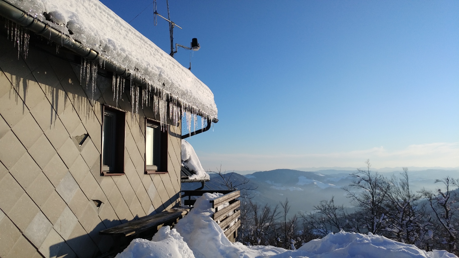
Breznica - Lubnik (General)
- Hiking time0 h 40 min
- Difficulty: Easy marked route
- Destination:1025 m
- Elevation difference+255 m
Getting to the trailhead:
Coming from Ljubljana, take Celovška cesta, through Medvode, all the way to Škofja Loka. Drive through the town and then turn right at the fork where you will see the sign for Podpulfrca. Immediately afterwards, turn left towards Gabrovo. Continue along the road, which starts to climb steeply. Follow it as far as the village of Breznica pod Lubnikom. Here, look out for the Pri Nacetu guesthouse on the left side of the road. Opposite the guest house you will see a signpost for Lubnik. Park in the gravel parking area by the road, a few metres further on from the guest house.
Trail description:
On foot, climb up to a grassy track, which is signposted by a large red signpost. The path leads you in a few steps to a forest, where you soon reach a smaller track, from which a narrower path branches off straight ahead. The track climbs moderately for a while, then lays down and in a few steps leads to the next fork. Turn left here onto a steeply ascending path. The slope continues to a junction of several paths, which you will recognise by a wooden bench. Continue straight ahead and after a few minutes you will reach a fork where you can take the left, flatter path or the right, steeper path, which serves as a shortcut; the two paths merge just before the summit. From here, it's just a few minutes' walk to the top.
Additional tips:
No additional tips.
Related trails