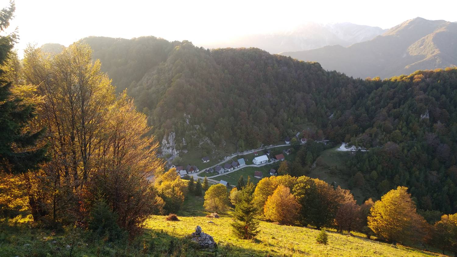
Poljubinske ravne - Koča na planini Stador (General)
- Hiking time0 h 45 min
- Difficulty: Easy marked route
- Destination:1050 m
- Elevation difference+399 m
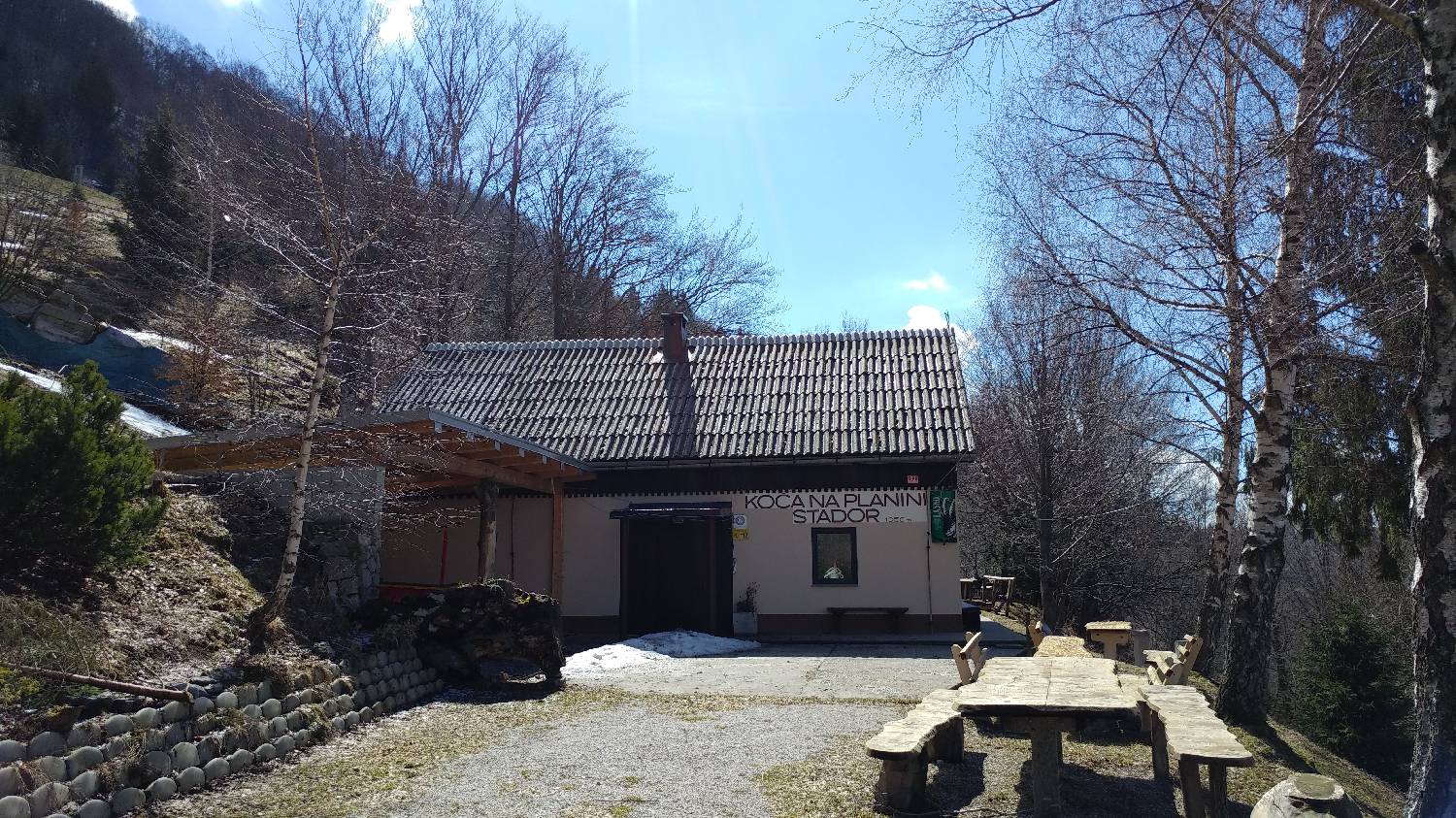
Getting to the trailhead:
From Tolmin, drive towards the village of Poljubin and on to Ljubinje. In the village of Ljubinj, shortly after the Church of St. Michael, turn left onto a narrow, winding, ascending road which will lead us after a few minutes' drive to the Poljubin plains. From here, continue along the road only as far as the crossroads, where a dirt track forks off to the left towards the repeater. Just before the crossroads, you will see a small parking area along the road, where you park.
Trail description:
From here, continue along the road to the first bend, where you will see a signpost for Kobiljo glavo, which will direct you to the forest path. Then climb through the forest, where you will be accompanied by a beautiful view the whole time. After about 20 minutes of ascent, the path will slightly lay down and lead us through a coniferous forest. This will soon end and will be replaced by mixed forest and an ascending path that will lead us to the road. Turn left and follow the road, which will take you to your destination after about 5 minutes' walk.
Additional tips:
No additional tips.
Related trails
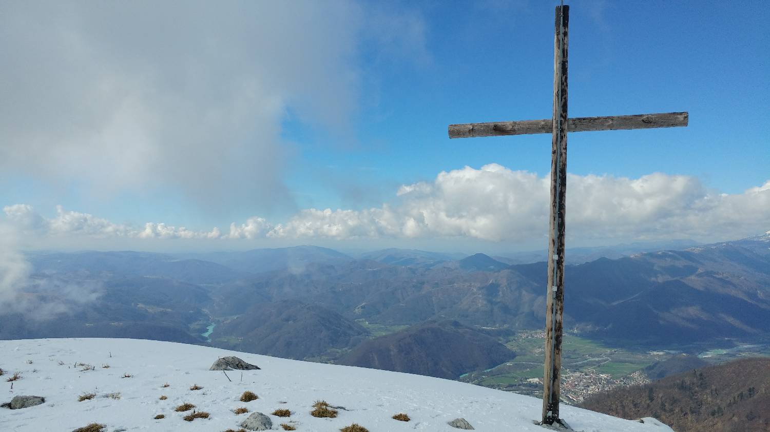
Koča na planini Stador - Kobilja glava
Mimo Chalet AstraMONTANA
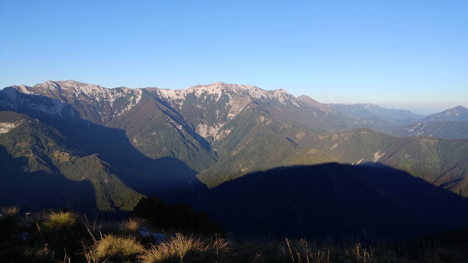
Koča na planini Stador - Kobilja glava
Mimo Planine Lom