



Horjul - Koreno (General)
Strma pot
1 h 0 min




 Weather
 Nearest webcam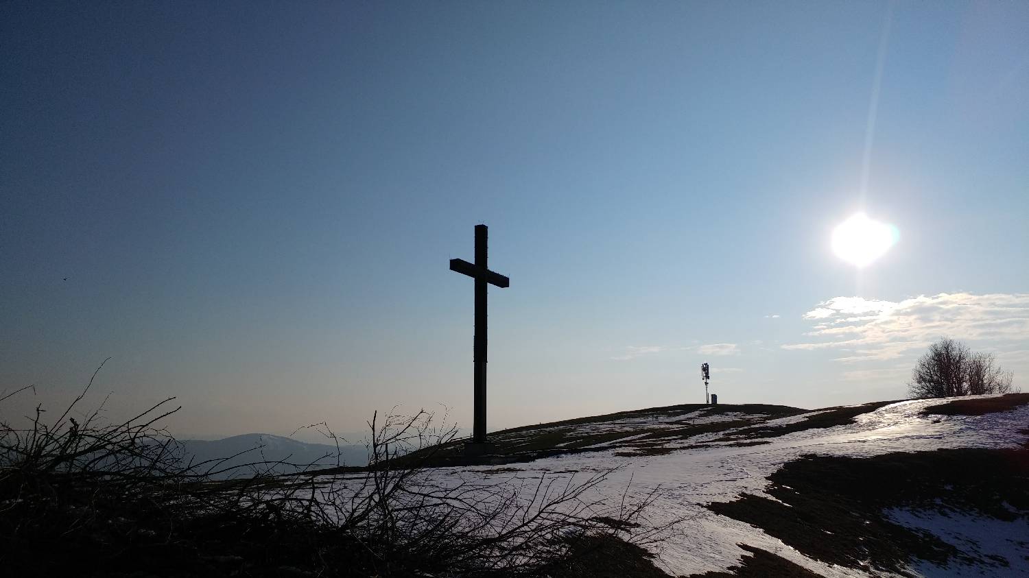
| Rating: | |
| Country: | Slovenia |
| Mountain range: | The Polhograj Hills and Ljubljana |
| Trailhead: | Horjul (340 m) |
| Destination: | Koreno (729 m) |
| Trailhead latitude/longitude: | 46.0221 / 14.3014 |
| Destination latitude/longitude: | 46.0357 / 14.2929 |
| Difficulty: | Easy marked route  |
| Recommended equipment: |
If you are coming from Ljubljana, take the exit for Podutik and continue along the old road. When you reach Stranska vas, continue until somewhere in the middle of the village, when you will come to a fork. Turn right here. After a short drive, you will come to a crossroads again - turn left here. Immediately after this you will see a Mercator, and after it a fork to the right, where you turn right. Continue driving along the Horjul road until you reach Horjul. In Horjul, you can park in the Metrel factory car park, or you can drive a little further along the road to the first crossroads, where you turn right. Continue along the road, which will take you to the Horjul Senior Citizens' Centre, where you park.
Trail description:Continue on foot along the pavement to the chapel. Here, choose the middle path, which is also signposted for the steep path to Korena. Continue along the path which leads past the houses, through the courtyard. Shortly after the courtyard, the path turns slightly to the right and continues along a narrow macadam road. The road soon turns to the right and leads up to a meadow. Continue along the meadow by the fence and then into the woods. The ascending path soon straightens out and splits. We continue here on the left-hand side on a forest track. A moderate ascending walk through the woods will lead us to another meadow where a bench is also placed. Continue past it, on the right-hand side, along a path which will take you past a stable and lead to a road. Follow the road to a fork where there is a large tree with a signing box on it. Turn left here and you are only a few metres away from your destination, when you will see a church and a large cross.
Additional tips:No additional tips.


