

Orehek (Bukovo) - Kojca (General)
strma
1 h 30 min




 Weather
 Nearest webcam
| Rating: | |
| Country: | Slovenia |
| Mountain range: | The Škofja Loka and Cerkno Hills and Jelovica |
| Trailhead: | Orehek (Bukovo) (673 m) |
| Destination: | Kojca (1303 m) |
| Trailhead latitude/longitude: | 46.1416 / 13.9237 |
| Destination latitude/longitude: | 46.1538 / 13.9268 |
| Difficulty: | Easy marked route  |
| Recommended equipment: | Hiking poles Hiking shoes Water |
The starting point is located along the road toward the village of Orehek, in a large gravel parking lot at a sharp curve just before the village. From Baška Grapa in Grahovo ob Bači, head toward Bukovo and continue toward Orehek. Coming from Idrija or Tolmin, turn toward Bukovo at the village of Reka, then continue through the hamlet of Kojca toward Orehek.
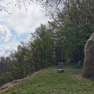
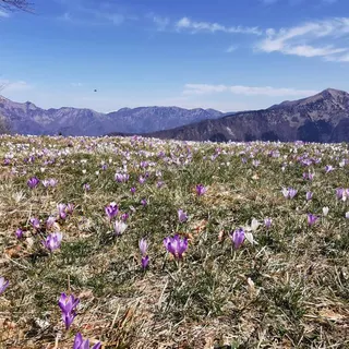
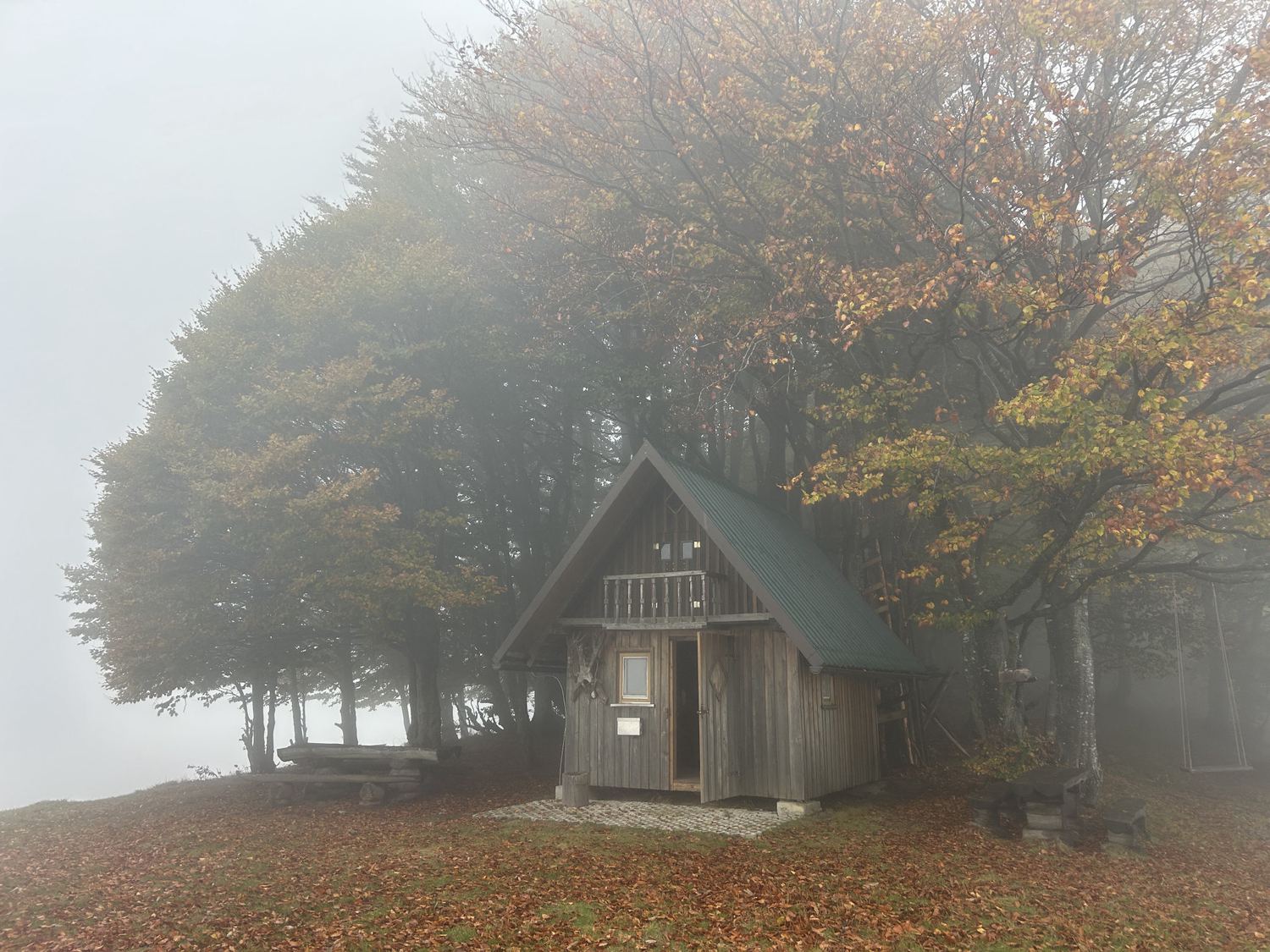
Trail description:FROM THE STARTING POINT TO SENOŽETA From the parking lot, we head toward Orehk along the paved road. We soon reach a wayside shrine, where we turn left onto a gravel road that begins to climb the slope of Kojca. After about ten minutes of walking, near a house, leave the road and turn right onto a marked hiking trail. The trail leads through the forest, past haylofts, and along a cart track to vast grassy slopes. In the hayfields, follow the signs to the left onto a slightly less distinct trail that climbs along the tree line. Higher up, the trail turns left and begins to traverse the slope. ASCENT TO THE JUNCTION The trail continues across alternating grassy and forested slopes. The incline gradually increases, and the trail leads us to a steeper forested section along a ravine. Higher up, we cross the ravine; then the trail turns right and becomes gentler for a short while. This is followed by a traverse across a grassy slope, where we reach a fork in the trail. Here, we leave the marked trail, which continues straight ahead along the longer route toward the summit. We turn left toward Kojca onto a shorter, steeper, and unmarked trail. STEEP ASCENT TO KOJCA From the fork onward, we climb a distinctly steep grassy slope. The trail is mostly clearly visible and winds in numerous switchbacks toward the summit. Despite the short distance, this part of the ascent is quite strenuous, mainly due to the steep gradient. Extra caution is needed on wet grass and slippery ground. Higher up, the trail gradually turns right, the steepness begins to ease, and a gentler summit meadow opens up before us. After a short, gentle climb, we reach the summit of Kojca (1,303 m). On the expansive grassy summit stand a characteristic haystack, a wooden shelter, and a guestbook box. In good weather, views open up toward Porezen, the Bohinj Mountains, the Cerkno Hills, and the Baška Gorge.
Additional tips:Due to the steep grassy slopes, this trail is best suited for dry weather. In wet conditions, snow, or ice, the risk of slipping is significantly higher.