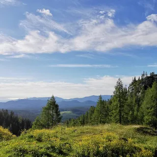


Rudno polje na Pokljuki - Blejska koča na Lipanci (General)
1 h 45 min




 Weather
 Nearest webcam
| Rating: | |
| Country: | Slovenia |
| Mountain range: | Julian Alps |
| Trailhead: | Rudno polje na Pokljuki (1347 m) |
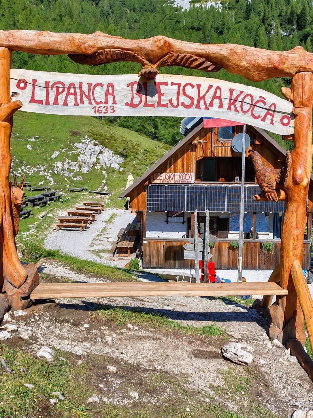
| Destination: | Blejska koča na Lipanci (1630 m) |
| Trailhead latitude/longitude: | 46.3461 / 13.9237 |
| Destination latitude/longitude: | 46.3752 / 13.9276 |
| Difficulty: | Easy marked route  |
| Recommended equipment: | Hiking poles Hiking shoes Water |
Rudno polje on the Pokljuka plateau is reached by a paved road that crosses the plateau and connects Bled with Bohinj. From Bled, the road runs via Gorje and the Krnica gorge (about 22 km). From Bohinj, it runs via Bitnje and the Jereka gorge, with several sharp hairpin bends in the last kilometres before Rudno polje (about 23 km); both roads join near Koprivnik. Rudno polje has a large (paid) car park by the cross-country/ski-jump area.
Trail description:From the Rudno polje car park, the path is unmarked at the very start -- the only signpost points towards Triglav. Follow the gravel forest road past the ski slope below Viševnik; at the first crossroads continue on the lower right-hand road, and at the next crossroads turn right again -- both times in the direction of Lipanca. Red-and-white markings and signposts then lead further along the edge of the plateau through spruce forest, and towards the end the path steepens across the grassy slopes of the Lipanca pasture, where Blejska koča comes into view. At the hut, further options open up: to Lipanski vrh (left, shorter but steep), to Debela peč (right, easier), or back to Rudno polje over Viševnik (the most demanding option). Family-friendly, roughly 1.5-2 hours one way.
Additional tips:No additional tips.