



Sveti Jakov - Kalčić (General)
1 h 0 min




 Weather
 Nearest webcam
| Rating: | |
| Country: | Croatia |
| Mountain range: | The Island of Lošinj |
| Trailhead: | Sveti Jakov (60 m) |
| Destination: | Kalčić (283 m) |
| Trailhead latitude/longitude: | 44.644 / 14.3971 |
| Destination latitude/longitude: | 44.6339 / 14.385 |
| Difficulty: | Easy marked route  |
| Recommended equipment: | Hiking shoes Water |
The starting point and parking lot are located at the Vidikovac viewpoint (Aunt Olga’s viewpoint) above the village of Sveti Jakov on the island of Lošinj. From Osor (Cres–Lošinj Bridge): Take the main road (D100) south toward Mali Lošinj for about 7 km, then turn onto the local road toward Sveti Jakov. From Mali Lošinj: Take the main road (D100) north toward Osor for about 18 km, then turn onto the local road toward Sveti Jakov. In both cases, continue past the next turn-off (passing the first turn-off toward the village center) along the paved road, which will take you to the Joker bar. There, turn left and then immediately right again, then simply follow the road to Aunt Olga’s Vidikovac viewpoint, where there is also a parking lot.
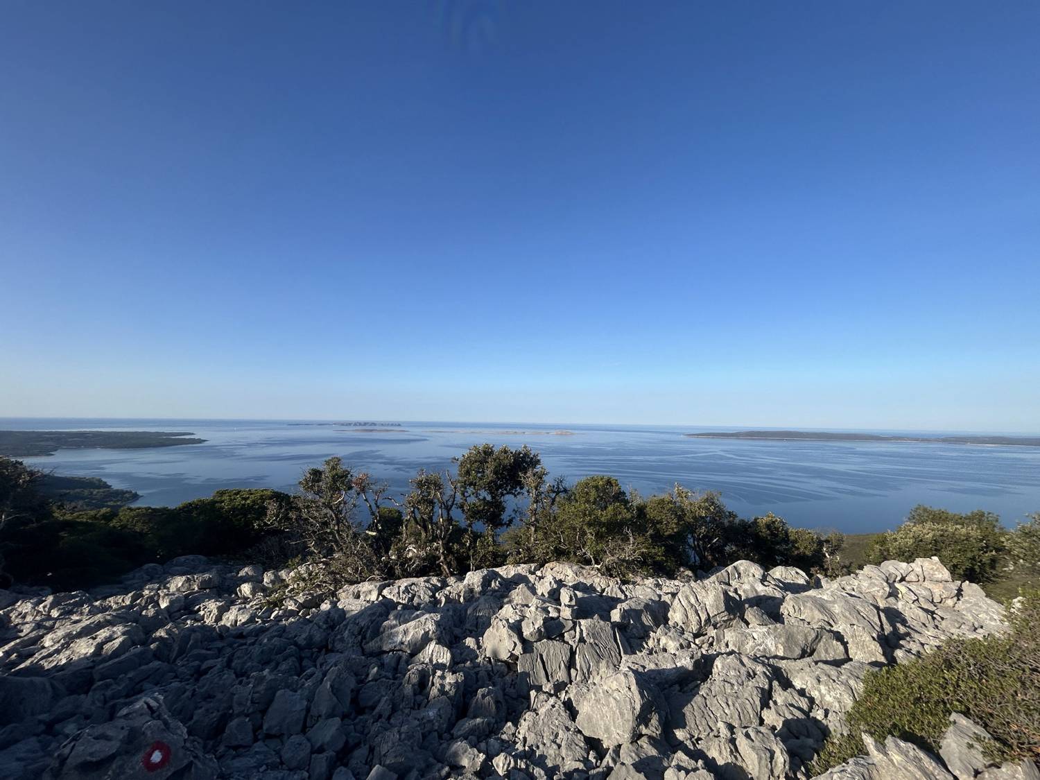
Trail description:From Aunt Olga’s Vidikovac lookout point, we first head down an almost flat paved road, passing the cemetery. At the end of this road, at the turnoff toward Uvala Lanena Bay, the road turns left and begins to descend more steeply. Shortly afterward, take a sharp left, and after a few dozen meters, turn right toward the village church and pass it. Behind the church, descend the steps to the road, where you’ll turn left, and then right again shortly afterward. Follow the road straight ahead to the side road leading from Nerezine, where you turn left and, in a right-hand curve, join the main road connecting Osor and Mali Lošinj. Continue along the main road for a short while toward Mali Lošinj, then after a few meters, turn right up the hill, where a red sign indicating the time to Kalčić (40 min) will guide you. From the main road, we first climb steeply up a gravel path, then turn right onto a narrower trail that ascends moderately all the way to the ridge, where we reach a fork. At the fork, we turn right toward Kalčić. From here on, the trail climbs more steeply; in one section, it even crosses over sharp rocks, where the trail is somewhat more challenging, all the way to the rocky summit of Kalčić, marked by an inscription on the rock.
Additional tips:The trail is somewhat more challenging in certain sections (especially when crossing the sharp rocks below the summit), so it is not the best choice for younger children (up to about 5 years old).


