



Zatolmin - Zatolmin (General)
Krožna pot: Zatolmin - Na Rabeh - Zatolmin
0 h 45 min




 Weather
 Nearest webcam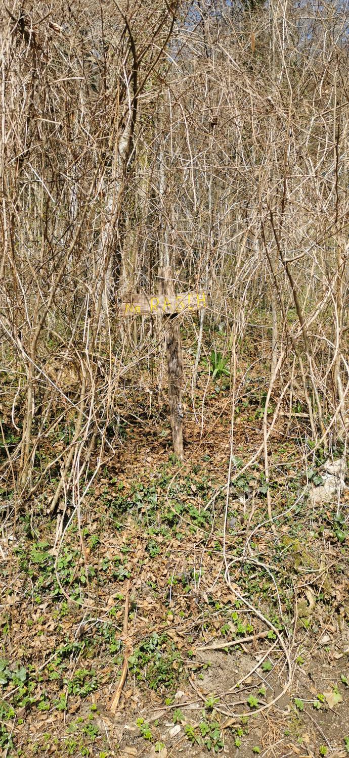
| Rating: | |
| Country: | Slovenia |
| Mountain range: | Julian Alps |
| Trailhead: | Zatolmin (256 m) |
| Destination: | Zatolmin (256 m) |
| Trailhead latitude/longitude: | 46.1942 / 13.7279 |
| Destination latitude/longitude: | 46.1942 / 13.7279 |
| Difficulty: | Easy unmarked route  |
| Recommended equipment: | Hiking shoes |
Drive to Tolmin and, at the main traffic-light-controlled intersection, turn toward Zatolmin (right if you’re coming from Ljubljana, or left if you’re coming from Nova Gorica). In Zatolmin, stay on the main road, but only until the fork where the road branching off to the right leads to the Tolmin Gorges. Before this fork, you’ll see a restaurant on the left side of the road and a parking lot on the right. Park here.
Trail description:From the parking lot, follow the road toward the Tolmin Gorges. Turn left toward the Polog mountain pasture and the Church of St. Peter. Continue uphill all the way to the church, where you’ll find the trail on the left side of the church. The trail enters the forest and begins to climb. After a long ascent, you’ll reach a road; follow it to Na rabeh. Here, on the left side of the curve, a forest trail branches off—turn onto it. A long descent down the slope follows. When you reach the road, continue along it for a short while, then rejoin the narrow trail on the left side of the road. The trail will lead all the way to the houses in the upper part of the village, where you’ll join the road and descend through the village back to the parking lot.
Additional tips:No additional tips.
![[object Object] - [object Object] main photo](https://api.mountainsgeek.com/media/35.jpg)
![[object Object] - [object Object] main photo](https://api.mountainsgeek.com/media/20180331_174029_HDR.jpg)
![[object Object] - [object Object] main photo](https://api.mountainsgeek.com/media/20181118_102838_HDR_gQhAgMG.jpg)
![[object Object] - [object Object] main photo](https://api.mountainsgeek.com/media/20190502_090503.jpg)
![[object Object] - [object Object] main photo](https://api.mountainsgeek.com/media/20190727_082317_HDR.jpg)
![[object Object] - [object Object] main photo](https://api.mountainsgeek.com/media/IMG_20240517_190923.jpg)
![[object Object] - [object Object] main photo](https://api.mountainsgeek.com/media/20190502_090459.jpg)
![[object Object] - [object Object] main photo](https://api.mountainsgeek.com/media/IMG_20200404_102634.jpg)
![[object Object] - [object Object] main photo](https://api.mountainsgeek.com/media/IMG_20200405_115851_eaaQIX9.jpg)
![[object Object] - [object Object] main photo](https://api.mountainsgeek.com/media/IMG_20200404_100905__kopija.jpg)
![[object Object] - [object Object] main photo](https://api.mountainsgeek.com/media/IMG_20200404_111433_HLHPuDj.jpg)
![[object Object] - [object Object] main photo](https://api.mountainsgeek.com/media/IMG_20200418_120329.jpg)
![[object Object] - [object Object] main photo](https://api.mountainsgeek.com/media/IMG_20200404_120652.jpg)
![[object Object] - [object Object] main photo](https://api.mountainsgeek.com/media/IMG_20200425_094842_x7eS7JM.jpg)
![[object Object] - [object Object] main photo](https://api.mountainsgeek.com/media/IMG_20240714_090220.jpg)
![[object Object] - [object Object] main photo](https://api.mountainsgeek.com/media/IMG_20250608_085103.jpg)
![[object Object] - [object Object] main photo](https://api.mountainsgeek.com/media/IMG_20250608_084909_v0xhrop.jpg)


