



Izhodišče Reščev slap - Reščev slap (General)
0 h 10 min




 Weather
 Nearest webcam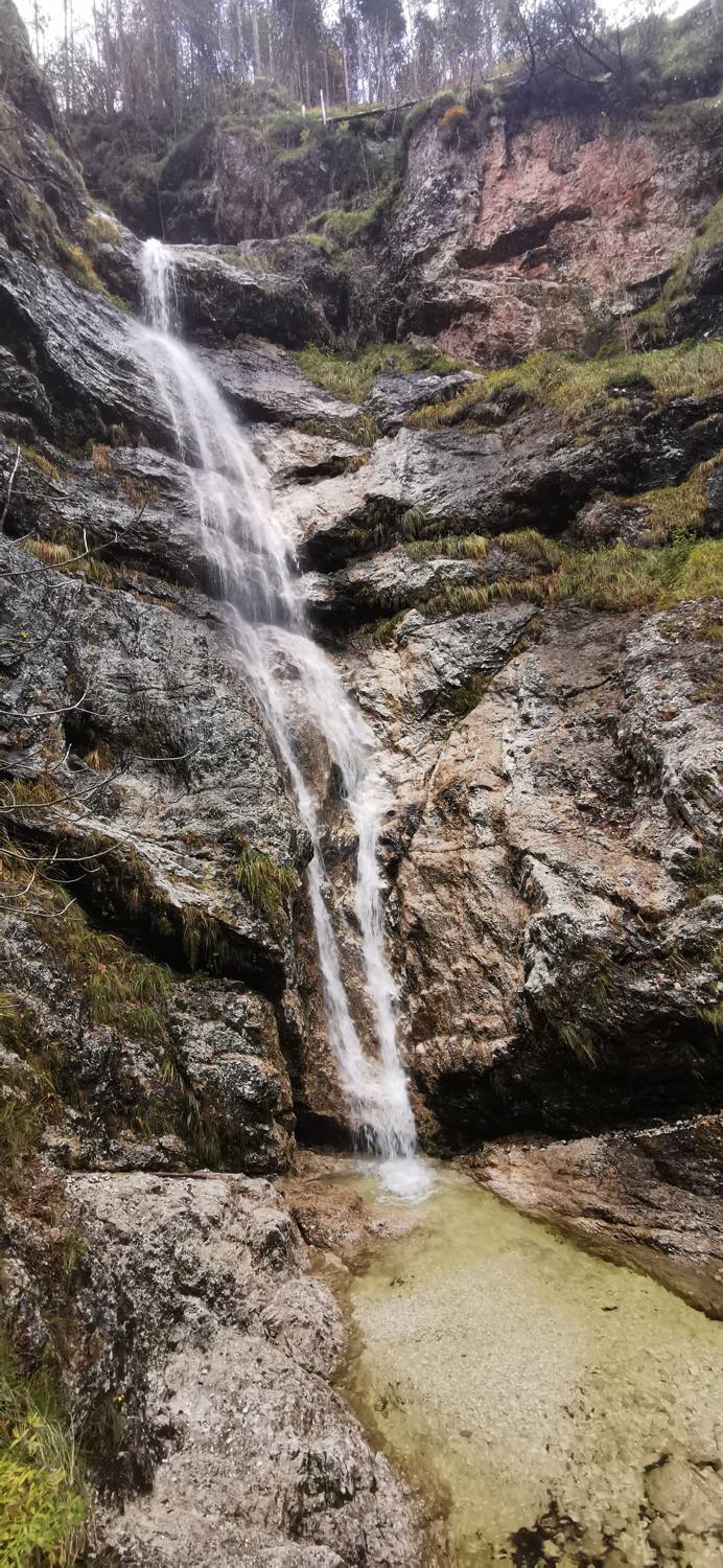
| Rating: | |
| Country: | Slovenia |
| Mountain range: | Julian Alps |
| Trailhead: | Izhodišče Reščev slap (652 m) |
| Destination: | Reščev slap (664 m) |
| Trailhead latitude/longitude: | 46.3853 / 13.5856 |
| Destination latitude/longitude: | 46.3852 / 13.5869 |
| Difficulty: | Difficult marked route  |
| Recommended equipment: | Hiking poles Hiking shoes |
From Tolmin, head towards Bovec. In Bovec, continue along the main road towards Log pod Mangartom. You will pass the large Kluže Fortress. Shortly after it, look out for a small car park on the right hand side of the road, together with a signpost for Reščev waterfall, where you should park.
Trail description:On foot, follow the forest path signposted to the trail. Soon the path starts to climb steeply. After a short climb, there is a short steep descent to a waterfall.
Additional tips:No additional tips.


