



Pod Hlipovcem - Hlipovec (General)
0 h 20 min




 Weather
 Nearest webcam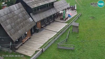
| Rating: | |
| Country: | Slovenia |
| Mountain range: | Kamnik-Savinja Alps |
| Trailhead: | Pod Hlipovcem (1425 m) |
| Destination: | Hlipovec (1495 m) |
| Trailhead latitude/longitude: | 46.4187 / 14.8276 |
| Destination latitude/longitude: | 46.4234 / 14.8358 |
| Difficulty: | Easy marked route  |
| Recommended equipment: | Hiking shoes Water |
From Mozirje, head towards Ljubno ob Savinji. Here, follow the road to Rastke to the settlement of Ljubenske Rastke. The trail will then take you towards Primož pri Ljubnem, and you will continue onwards to a roadside car park, which you will recognise from the direction signs and the P Komen sign.
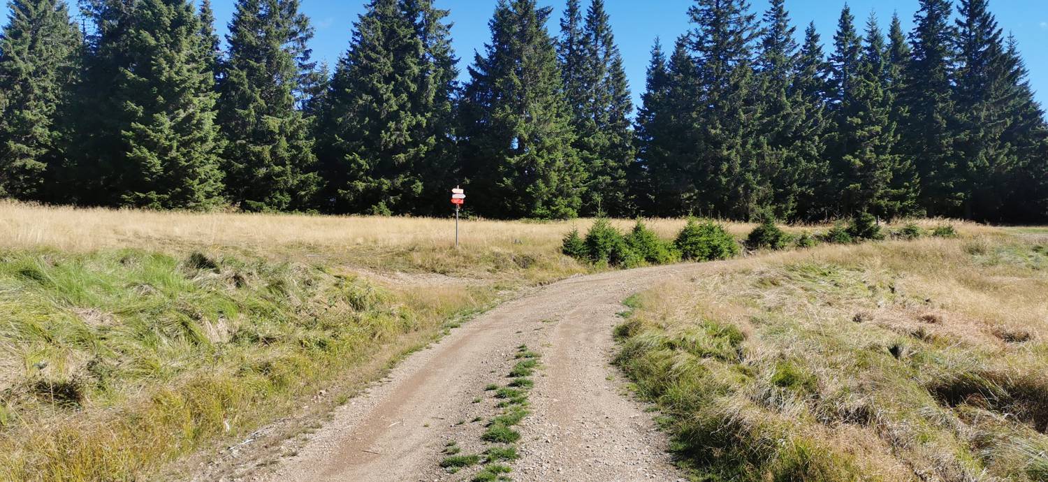
Trail description:On foot, follow the forest path marked with direction signs for Hlipovec and Dom pod Smrekovcem. You will quickly ascend to a macadam road, which you can join and follow for a longer distance, all the way to the Hlipovec Pass.
Additional tips:No additional tips.


