



St. Angel Chapel - Risco Verde (General)
1 h 0 min




 Weather
 Nearest webcam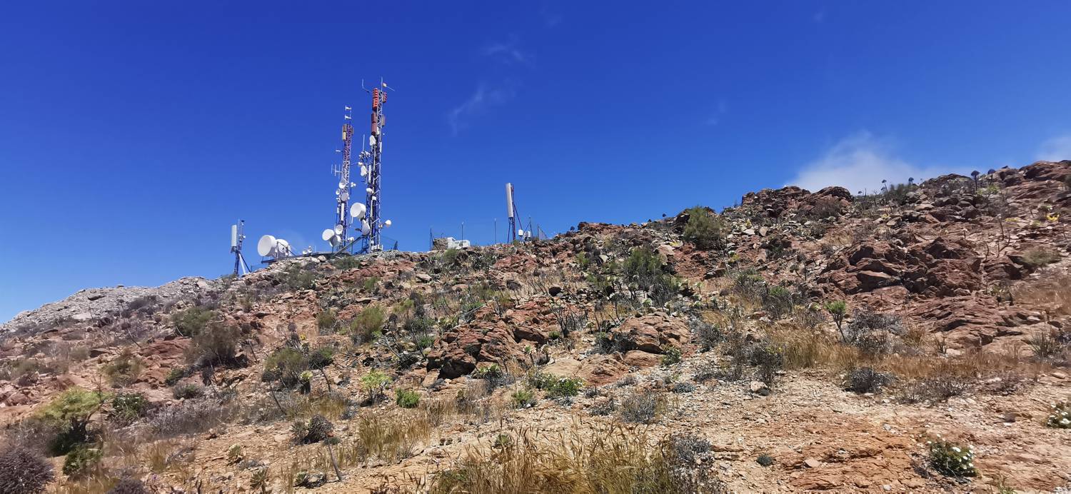
| Rating: | |
| Country: | Spain |
| Mountain range: | Tenerife |
| Trailhead: | St. Angel Chapel (1060 m) |
| Destination: | Risco Verde (1363 m) |
| Trailhead latitude/longitude: | 28.2787 / -16.8027 |
| Destination latitude/longitude: | 28.3065 / -16.8267 |
| Difficulty: | Easy marked route  |
| Recommended equipment: | Hiking poles Hiking shoes Water |
From Playa de las Americas, head towards Santiago del Teide. When you turn off the motorway, at the roundabout take the first exit (do not continue to Santiago del Teide) and then continue uphill, past the village of Las Manchas, until you reach the top of the saddle. As the road straightens out, you will see a small car park on your right and a chapel a few metres above it. Park here.
Trail description:Walk up to the chapel, then continue along the gentle path for a longer distance until the trail turns. Then descend to the dirt road. At the gravel road, turn right. The path will be level at first, but after the bend it will start to climb steeply, all the way to the top.
Additional tips:No additional tips.
![[object Object] - [object Object] main photo](https://api.mountainsgeek.com/media/IMG_20250527_113141_BF5qdxq.jpg)


