



Parque Rural de Teno - Risco Verde (General)
1 h 30 min




 Weather
 Nearest webcam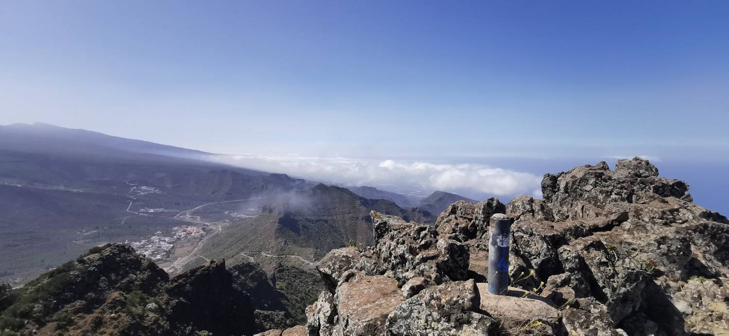
| Rating: | |
| Country: | Spain |
| Mountain range: | Tenerife |
| Trailhead: | Parque Rural de Teno (1020 m) |
| Destination: | Risco Verde (1363 m) |
| Trailhead latitude/longitude: | 28.3223 / -16.8081 |
| Destination latitude/longitude: | 28.3065 / -16.8267 |
| Difficulty: | Easy unmarked route  |
| Recommended equipment: | Hiking shoes Water |
From Santiago del Teide, head towards Erjos. Just before you reach the village, there will be a crossroads where you take a sharp left and drive to a small car park on the left-hand side of the road.
Trail description:Keep walking along the road towards the intermittent lakes. Just a little further on, after the educational signs, there will be a crossroads where you should keep right. The right path will be marked with yellow and white lines (markings) and the wrong path will be marked with a white and yellow cross. So follow the path as it crosses a 'natural land bridge' and then becomes a narrow track that soon leads into the forest and starts to climb. There is a longer climb before you reach the road. Cross the road and follow the path on the other side (dirt road, about 3 metres to the left). You will walk along this road for a long distance, the terrain being level throughout. When a narrower forest track splits off the road, join it and start the longer climb. When you reach the saddle, turn left and continue walking to the top.
Additional tips:No additional tips.
![[object Object] - [object Object] main photo](https://api.mountainsgeek.com/media/IMG_20250524_122058_mXyCY8F.jpg)


