



Nogometno igrišče Damián Sánchez - Roque Arguayo (General)
0 h 45 min




 Weather
 Nearest webcam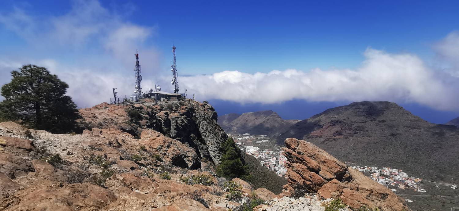
| Rating: | |
| Country: | Spain |
| Mountain range: | Tenerife |
| Trailhead: | Nogometno igrišče Damián Sánchez (950 m) |
| Destination: | Roque Arguayo (1107 m) |
| Trailhead latitude/longitude: | 28.2715 / -16.8053 |
| Destination latitude/longitude: | 28.2728 / -16.8087 |
| Difficulty: | Easy marked route  |
| Recommended equipment: | Hiking shoes Water |
From Puerto de Santiago, head towards Tamaimo. Here, at a major T-junction, turn right, leave the village and follow the road uphill. After walking for some time, you will come to two roundabouts in a row, take the second exit at the first roundabout and the first exit at the second roundabout, and continue to the crossroads by the El Mayato football field. Turn left here, then keep left (do not turn right immediately), but turn right only at the second exit and continue driving until you reach the village of Arguayo, where you park at the Damian Sanchez football field.
Trail description:Keep walking uphill, but only as far as the first possible left turn. Pass the sign that says Safari and continue on the initially gentle path that begins to climb through the copse. When the path becomes level again, another path joins it on the right. Continue on the level path for a few metres and then the path begins to climb again. When it rounds a bend it becomes quite steep, and so it climbs all the way to the top.
Additional tips:No additional tips.


