



Zatolmin - Izvir na Španih (General)
1 h 0 min




 Weather
 Nearest webcam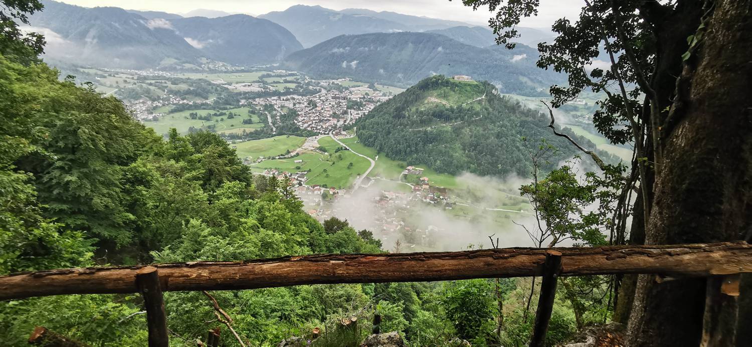
| Rating: | |
| Country: | Slovenia |
| Mountain range: | Julian Alps |
| Trailhead: | Zatolmin (256 m) |
| Destination: | Izvir na Španih (573 m) |
| Trailhead latitude/longitude: | 46.1942 / 13.7279 |
| Destination latitude/longitude: | 46.2005 / 13.7248 |
| Difficulty: | Easy marked route  |
| Recommended equipment: | Hiking poles Hiking shoes Water |
Drive to Tolmin and at the main traffic lights turn in the direction of Zatolmin (right if you are coming from Ljubljana, or left if you are coming from Nova Gorica). In Zatolmin, keep on the main road, but only until the fork where the road to the right leads you towards Tolminski korite. Before this fork, you will see a restaurant on the left side of the road and a car park on the right. Park here.
Trail description:Continue on foot into the village, heading uphill along the slope. As you climb higher, the road will split—keep to the left towards Mrzli Vrh. Soon after, the road will split again (by the yellow house). This time, turn right onto the steep slope and continue until you reach the signposts, which will direct you left onto a forest trail. A long, steep ascent follows. When the terrain levels out somewhat, you will see new signposts and a junction. Here, keep to the right path, heading towards the Špani Spring. You will walk along mostly flat terrain with a few short descents and climbs, after which you will reach another marked junction. Keep to the right again and descend a few short steps, then continue down to the viewpoint. From there, it is just a few more meters of descending to reach the Špani Spring.
Additional tips:No additional tips.


