



Poče - Porezen (General)
2 h 45 min




 Weather
 Nearest webcam
| Rating: | |
| Country: | Slovenia |
| Mountain range: | The Škofja Loka and Cerkno Hills and Jelovica |
| Trailhead: | Poče (653 m) |
| Destination: | Porezen (1630 m) |
| Trailhead latitude/longitude: | 46.1535 / 13.9847 |
| Destination latitude/longitude: | 46.1772 / 13.9743 |
| Difficulty: | Easy marked route  |
| Recommended equipment: | Hiking poles Hiking shoes Water Snack |
From Tolmin, head towards Most na Soči. Turn left here and follow the main road for a longer distance until you reach a crossroads where you turn left towards Cerkno. Here, turn left and drive into Cerkno, where at a major fork, keep left towards Železniki and the ski resort. At the next fork, stop following the signs for Železniki and keep left towards Zakojca and Gorje. Then follow the main road all the way to the village of Poče, where you can park in a well-kept place by the direction signs.
Trail description:On foot, follow the signpost for Porezen (past the basketball hoop to the left). Walk along the narrow street to a crossroads, where you turn right onto a narrow path that climbs steeply, then turn left and walk to the next turning to the right, where you turn right. You will start climbing up the asphalt road until you reach a shack on the left, where there is also a marker and an arrow directing you to the dirt road. Follow it up, then cross a small meadow with a small goat house, after which you will rejoin the dirt road, which will start to climb to the right. Soon a signpost will direct you to the right, where you should turn right and climb a few steps to a sharp left turn and continue along the path, which soon returns to the dirt road and starts climbing again, until you reach a new crossroads, where a narrower path will branch off to the right, which you should join. Shortly afterwards you will pass a well with drinking water. Continue along the path until you reach a larger crossroads, where there will also be a bench and the remains of a cable car. Here, turn left onto a gentle path. You will follow a gently ascending track for a longer walk until you reach the trail junction, which is also marked with a sign for Porezen. Climb the wooden steps and start a slightly steeper ascent than before. When the path rejoins the track, turn right and follow the track to the next turning to the left, onto the track which again climbs steeply towards Porezen. In a few minutes you will climb out of the forest and onto grassy areas. When the path levels out, keep left, towards Porezen, and you will also find several signposts in the middle of the meadow, where the signpost for Porezen will direct you to the left. The path will first run on flat ground and then start to climb. Continue the longer climb until you reach the top.
Additional tips:No additional tips.
![[object Object] - [object Object] main photo](https://api.mountainsgeek.com/media/20181020_133152.jpg)
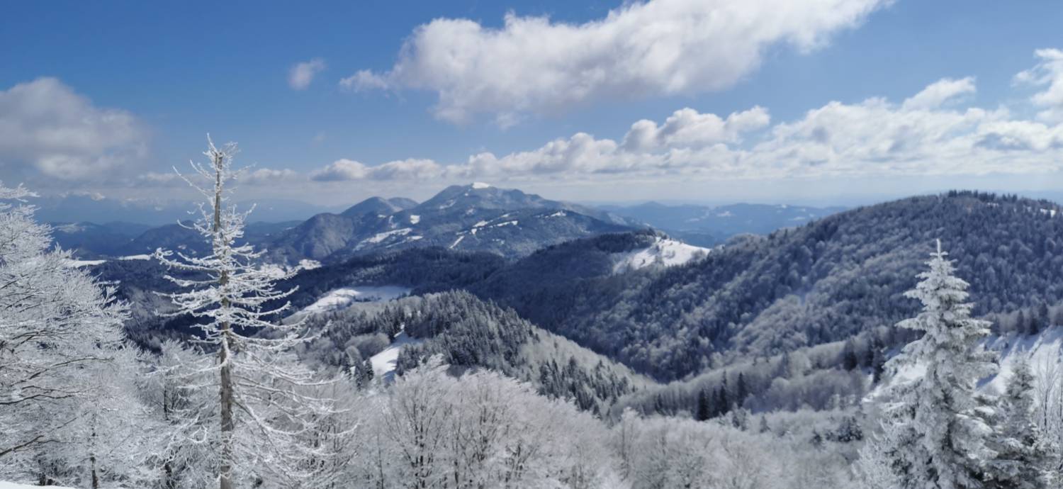
![[object Object] - [object Object] main photo](https://api.mountainsgeek.com/media/IMG_20250318_105154_r9HZckP.jpg)


